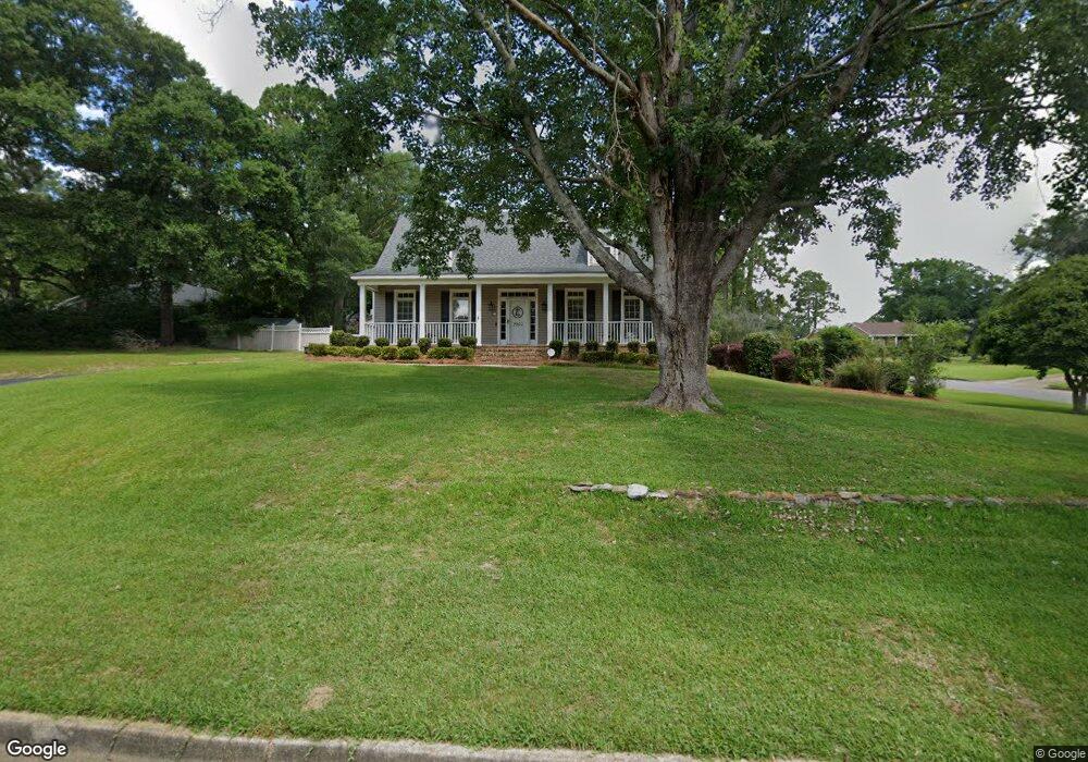
7200 Carson Rd S Mobile, AL 36695
Sheldon NeighborhoodEstimated Value: $277,102 - $403,000
Studio
2
Baths
3,167
Sq Ft
$106/Sq Ft
Est. Value
About This Home
This home is located at 7200 Carson Rd S, Mobile, AL 36695 and is currently estimated at $336,776, approximately $106 per square foot. 7200 Carson Rd S is a home located in Mobile County with nearby schools including ER Dickson Elementary School, Burns Middle School, and WP Davidson High School.
Ownership History
Date
Name
Owned For
Owner Type
Purchase Details
Closed on
Dec 5, 1997
Sold by
Collier Ronald O and Collier Jacqueline J
Bought by
Ellisor John L and Ellisor Sharon
Current Estimated Value
Home Financials for this Owner
Home Financials are based on the most recent Mortgage that was taken out on this home.
Original Mortgage
$99,900
Outstanding Balance
$15,101
Interest Rate
7.19%
Estimated Equity
$321,675
Create a Home Valuation Report for This Property
The Home Valuation Report is an in-depth analysis detailing your home's value as well as a comparison with similar homes in the area
Home Values in the Area
Average Home Value in this Area
Purchase History
| Date | Buyer | Sale Price | Title Company |
|---|---|---|---|
| Ellisor John L | -- | -- |
Source: Public Records
Mortgage History
| Date | Status | Borrower | Loan Amount |
|---|---|---|---|
| Open | Ellisor John L | $99,900 |
Source: Public Records
Tax History
| Year | Tax Paid | Tax Assessment Tax Assessment Total Assessment is a certain percentage of the fair market value that is determined by local assessors to be the total taxable value of land and additions on the property. | Land | Improvement |
|---|---|---|---|---|
| 2025 | $1,037 | $25,410 | $3,500 | $21,910 |
| 2024 | $1,037 | $25,640 | $3,500 | $22,140 |
| 2023 | $1,046 | $25,100 | $3,500 | $21,600 |
| 2022 | $893 | $22,230 | $3,500 | $18,730 |
| 2021 | $954 | $21,040 | $3,500 | $17,540 |
| 2020 | $938 | $20,700 | $3,500 | $17,200 |
| 2019 | $903 | $20,000 | $3,500 | $16,500 |
| 2018 | $995 | $21,900 | $0 | $0 |
| 2017 | $849 | $18,880 | $0 | $0 |
| 2016 | $889 | $19,720 | $0 | $0 |
| 2013 | $942 | $19,420 | $0 | $0 |
Source: Public Records
Map
Nearby Homes
- 1361 Dellwyn Ct
- 1484 Pebble Creek Dr
- 7311 Carson Rd S Unit 2
- 1263 Smithfield Rd E
- 7315 Bridgewood Ct
- 1630 Pine Station Rd E
- 1630 Ashmoor Dr E
- 1130 Jonathan Ct
- 7310 Cheryl Ct
- 6939 Johnston Ln
- 1291 Carson Rd W
- 1735 Ashmoor Dr W
- 1171 Newbury Ln E
- 1337 Carson Rd W
- 7180 Charlanda Blvd
- 1000 Choctaw Bluff Rd
- 1218 Stratford Ct S
- 7601 Cameron Ct
- 7190 Bradshaw Ct
- 6701 Somerby Ln
- 7222 Carson Rd S
- 7205 Smithfield Rd
- 1335 Dunbrooke Ct
- 7162 Smithfield Rd
- 7215 Smithfield Rd
- 7211 Carson Rd S
- 7201 Carson Rd S
- 7221 Carson Rd S
- 7158 Smithfield Rd
- 1341 Dellwyn Ct
- 1325 Dunbrooke Ct
- 1331 Dellwyn Ct
- 1330 Dunbrooke Ct
- 7171 Smithfield Rd
- 7231 Carson Rd S
- 7241 Carson Rd S
- 7154 Smithfield Rd
- 1315 Dunbrooke Ct
- 1320 Dunbrooke Ct
- 7167 Smithfield Rd
Your Personal Tour Guide
Ask me questions while you tour the home.