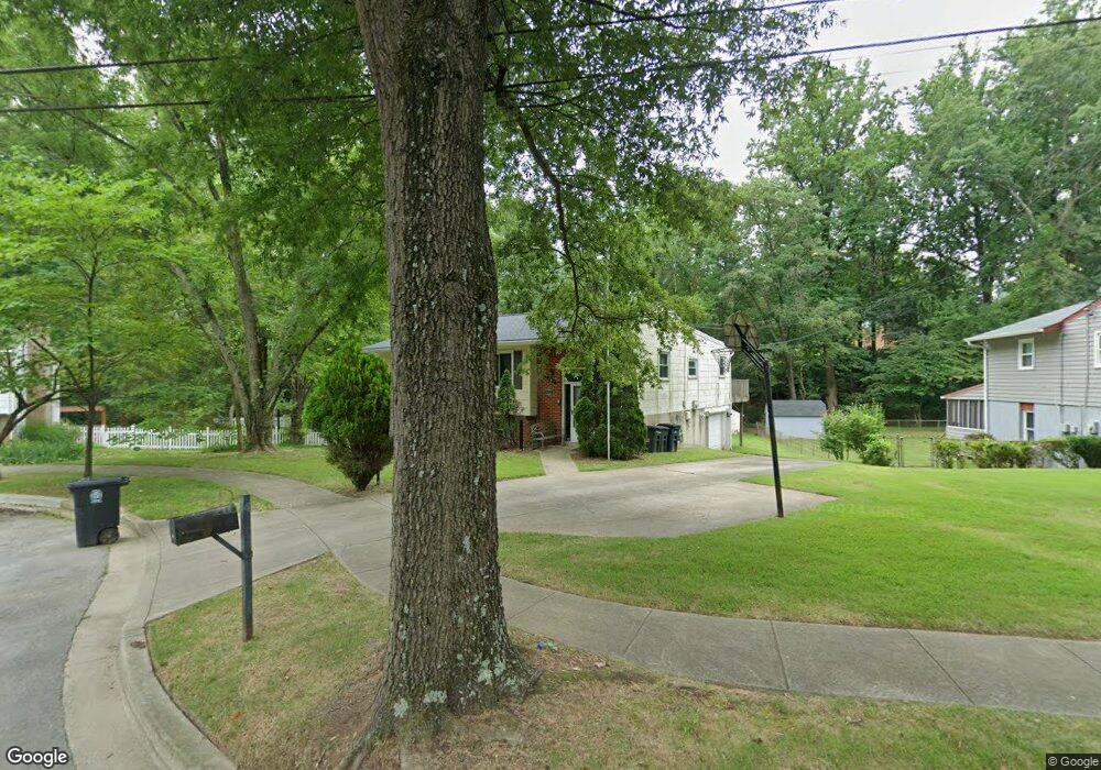
7201 Donston Dr Laurel, MD 20707
West Laurel NeighborhoodEstimated Value: $484,387 - $578,000
Studio
2
Baths
1,590
Sq Ft
$330/Sq Ft
Est. Value
About This Home
This home is located at 7201 Donston Dr, Laurel, MD 20707 and is currently estimated at $524,597, approximately $329 per square foot. 7201 Donston Dr is a home located in Prince George's County with nearby schools including Bond Mill Elementary, Martin Luther King Jr. Middle School, and Laurel High School.
Ownership History
Date
Name
Owned For
Owner Type
Purchase Details
Closed on
May 29, 2001
Sold by
Delaney Daniel
Bought by
Tracy James H and Tracy Virginia M
Current Estimated Value
Purchase Details
Closed on
Jul 2, 1997
Sold by
Scaletta George R
Bought by
Delaney Daniel and Delaney Betsy R
Purchase Details
Closed on
Nov 2, 1977
Sold by
Duvall Ralph E
Bought by
Scaletta George R and Scaletta Shirl C
Create a Home Valuation Report for This Property
The Home Valuation Report is an in-depth analysis detailing your home's value as well as a comparison with similar homes in the area
Home Values in the Area
Average Home Value in this Area
Purchase History
| Date | Buyer | Sale Price | Title Company |
|---|---|---|---|
| Tracy James H | $180,000 | -- | |
| Delaney Daniel | $160,000 | -- | |
| Scaletta George R | $58,700 | -- |
Source: Public Records
Tax History Compared to Growth
Tax History
| Year | Tax Paid | Tax Assessment Tax Assessment Total Assessment is a certain percentage of the fair market value that is determined by local assessors to be the total taxable value of land and additions on the property. | Land | Improvement |
|---|---|---|---|---|
| 2025 | $6,320 | $432,400 | $121,900 | $310,500 |
| 2024 | $6,320 | $398,433 | -- | -- |
| 2023 | $5,814 | $364,467 | $0 | $0 |
| 2022 | $5,309 | $330,500 | $76,900 | $253,600 |
| 2021 | $5,212 | $324,000 | $0 | $0 |
| 2020 | $5,116 | $317,500 | $0 | $0 |
| 2019 | $5,019 | $311,000 | $75,900 | $235,100 |
| 2018 | $5,175 | $297,167 | $0 | $0 |
| 2017 | $4,981 | $283,333 | $0 | $0 |
| 2016 | -- | $269,500 | $0 | $0 |
| 2015 | $3,562 | $269,500 | $0 | $0 |
| 2014 | $3,562 | $269,500 | $0 | $0 |
Source: Public Records
Map
Nearby Homes
- 7106 Donston Dr
- 7209 Brooklyn Bridge Rd
- 16140 Kenny Rd
- 7018 Redmiles Rd
- 7019 Redmiles Rd
- 7019 Fitzpatrick Dr
- 7004 Fitzpatrick Dr
- 7616 Woodbine Dr
- 15708 Dorset Rd Unit 203
- 15708 Dorset Rd Unit 304
- 15708 Dorset Rd Unit 202
- 16035 Dorset Rd
- 7709 Brooklyn Bridge Rd
- 15743 Millbrook Ln
- 15603 Dorset Rd Unit 101
- 6918 Scotch Dr
- 15781 Haynes Rd
- 6304 Forest Mill Ln
- 8040 Sandy Spring Rd
- 7651 E Arbory Ct
- 7111 Donston Dr
- 7203 Donston Dr
- 16124 Kenny Rd
- 16126 Kenny Rd
- 16201 Cannfield Dr
- 7110 Donston Dr
- 16122 Kenny Rd
- 16128 Kenny Rd
- 16202 Cannfield Dr
- 16203 Cannfield Dr
- 16130 Kenny Rd
- 16127 Kenny Rd
- 16120 Kenny Rd
- 7012 Marmick Place
- 16121 Kenny Rd
- 16129 Kenny Rd
- 16132 Kenny Rd
- 16205 Cannfield Dr
- 16105 Kenny Ct
- 16104 Kenny Ct