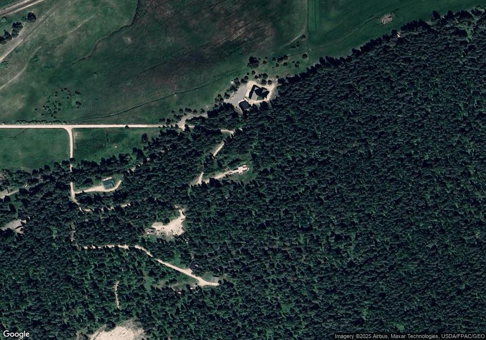
7201 Evaro Rd Missoula, MT 59808
Estimated Value: $599,995 - $776,000
3
Beds
2
Baths
1,710
Sq Ft
$413/Sq Ft
Est. Value
About This Home
This home is located at 7201 Evaro Rd, Missoula, MT 59808 and is currently estimated at $705,999, approximately $412 per square foot. 7201 Evaro Rd is a home located in Missoula County with nearby schools including Frenchtown Elementary School, Frenchtown Intermediate School, and Frenchtown Junior High School.
Ownership History
Date
Name
Owned For
Owner Type
Purchase Details
Closed on
Aug 14, 2003
Sold by
Hagar Christopher D and Hagar Francine Z
Bought by
Stevens James Robert and Stevens Janet C
Current Estimated Value
Home Financials for this Owner
Home Financials are based on the most recent Mortgage that was taken out on this home.
Original Mortgage
$158,000
Outstanding Balance
$67,903
Interest Rate
5.29%
Mortgage Type
Unknown
Estimated Equity
$638,096
Create a Home Valuation Report for This Property
The Home Valuation Report is an in-depth analysis detailing your home's value as well as a comparison with similar homes in the area
Home Values in the Area
Average Home Value in this Area
Purchase History
| Date | Buyer | Sale Price | Title Company |
|---|---|---|---|
| Stevens James Robert | -- | -- |
Source: Public Records
Mortgage History
| Date | Status | Borrower | Loan Amount |
|---|---|---|---|
| Open | Stevens James Robert | $158,000 |
Source: Public Records
Tax History Compared to Growth
Tax History
| Year | Tax Paid | Tax Assessment Tax Assessment Total Assessment is a certain percentage of the fair market value that is determined by local assessors to be the total taxable value of land and additions on the property. | Land | Improvement |
|---|---|---|---|---|
| 2025 | $3,439 | $504,320 | $156,300 | $348,020 |
| 2024 | $4,313 | $418,640 | $99,300 | $319,340 |
| 2023 | $3,515 | $418,640 | $99,300 | $319,340 |
| 2022 | $3,018 | $283,420 | $0 | $0 |
| 2021 | $3,086 | $283,420 | $0 | $0 |
| 2020 | $2,961 | $263,100 | $0 | $0 |
| 2019 | $2,940 | $295,300 | $0 | $0 |
| 2018 | $2,906 | $258,800 | $0 | $0 |
| 2017 | $2,949 | $258,800 | $0 | $0 |
| 2016 | $2,812 | $251,160 | $0 | $0 |
| 2015 | $2,656 | $251,160 | $0 | $0 |
| 2014 | $2,501 | $134,668 | $0 | $0 |
Source: Public Records
Map
Nearby Homes
- 16787 Thornburg Way
- 17011 Thornburg Way
- 17768 Thornburg Way
- 15405 Us Highway 93 N
- 17912 Thornburg Way
- 8851 Santa Anita Rd
- Lot 3 Palmer St
- 8125 Brow Tine Dr
- 19390 Sidesaddle Trail
- 12575 Buffalo Dr
- 1059 Grizzly Mountain Rd
- 20655 Whispering Pines Rd
- 8263 Patinella Ct
- 20795 Whispering Pines Rd
- NHN Sweet Pea
- Nhn O'Keefe Creek Blvd
- 12050 U S Highway 93 N
- 11740 Gopher Dr
- 14100 U S Highway 93 N Unit C
- 10314 Conterra Dr
- 16440 Hashknife Way
- 16460 Hashknife Way
- 6645 Syd Trail
- Nhn Evaro Rd
- 0000 W Evaro
- 7283 Evaro Rd
- 16400 Evaro Rd
- 16555 U S 93
- 16995 Us Highway 93 N
- 16995 Us Highway 93 N
- 7300 Evaro Rd
- 6775 Grooms Rd
- 7305 Evaro Rd
- 17025 Us Highway 93 N
- 17025 U S Highway 93 N
- 17025 U S 93
- 6125 Mercer Ln
- 17055 Us Highway 93 N
- 17095 Us Highway 93 N
- 6789 Grooms Rd
