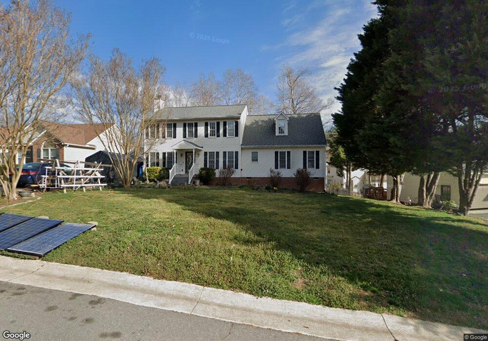
7206 Port Side Dr Midlothian, VA 23112
Estimated Value: $418,000 - $500,000
4
Beds
3
Baths
2,330
Sq Ft
$190/Sq Ft
Est. Value
About This Home
This home is located at 7206 Port Side Dr, Midlothian, VA 23112 and is currently estimated at $443,174, approximately $190 per square foot. 7206 Port Side Dr is a home located in Chesterfield County with nearby schools including Clover Hill Elementary School, Swift Creek Middle, and Clover Hill High.
Ownership History
Date
Name
Owned For
Owner Type
Purchase Details
Closed on
Aug 22, 2002
Sold by
Jacques Frank J
Bought by
Randall Russell E and Randall Karen E
Current Estimated Value
Home Financials for this Owner
Home Financials are based on the most recent Mortgage that was taken out on this home.
Original Mortgage
$127,100
Outstanding Balance
$53,859
Interest Rate
6.57%
Mortgage Type
New Conventional
Estimated Equity
$389,315
Purchase Details
Closed on
Jul 19, 1996
Sold by
Kennedy Homes Inc
Bought by
Jacques Frank J and Jacques Deborah C
Home Financials for this Owner
Home Financials are based on the most recent Mortgage that was taken out on this home.
Original Mortgage
$129,090
Interest Rate
8.28%
Mortgage Type
FHA
Create a Home Valuation Report for This Property
The Home Valuation Report is an in-depth analysis detailing your home's value as well as a comparison with similar homes in the area
Home Values in the Area
Average Home Value in this Area
Purchase History
| Date | Buyer | Sale Price | Title Company |
|---|---|---|---|
| Randall Russell E | $158,886 | -- | |
| Jacques Frank J | $129,500 | -- |
Source: Public Records
Mortgage History
| Date | Status | Borrower | Loan Amount |
|---|---|---|---|
| Open | Jacques Frank J | $127,100 | |
| Previous Owner | Jacques Frank J | $129,090 |
Source: Public Records
Tax History Compared to Growth
Tax History
| Year | Tax Paid | Tax Assessment Tax Assessment Total Assessment is a certain percentage of the fair market value that is determined by local assessors to be the total taxable value of land and additions on the property. | Land | Improvement |
|---|---|---|---|---|
| 2025 | $3,686 | $411,300 | $59,000 | $352,300 |
| 2024 | $3,686 | $392,300 | $56,000 | $336,300 |
| 2023 | $3,108 | $341,500 | $54,000 | $287,500 |
| 2022 | $2,963 | $322,100 | $52,000 | $270,100 |
| 2021 | $2,710 | $282,600 | $50,000 | $232,600 |
| 2020 | $2,685 | $282,600 | $50,000 | $232,600 |
| 2019 | $2,524 | $265,700 | $48,000 | $217,700 |
| 2018 | $2,441 | $256,900 | $47,000 | $209,900 |
| 2017 | $2,252 | $234,600 | $44,000 | $190,600 |
| 2016 | $2,140 | $222,900 | $43,000 | $179,900 |
| 2015 | $2,081 | $216,800 | $42,000 | $174,800 |
| 2014 | $2,028 | $211,200 | $41,000 | $170,200 |
Source: Public Records
Map
Nearby Homes
- 7155 Velvet Antler Dr
- 13807 Cannonade Ln
- 13337 Diamond Ridge Dr
- 6001 Harbourwood Ct
- 13707 Swale Ln
- 7122 Deer Thicket Dr
- 7100 Deer Thicket Dr
- 13712 War Admiral Dr
- 4902 Court Ridge Terrace
- 13531 Winning Colors Ln
- 6119 Walking Path Ln
- 13207 Gate Post Ct
- 13813 Kentucky Derby Place
- 7806 Belmont Stakes Dr
- 5806 Bayport Landing Ct
- 4405 Heritage Woods Ln
- 14206 Triple Crown Dr
- 8806 Bailey Hill Rd
- 6525 Southshore Dr
- 13720 Long Cove Place
- 7200 Port Side Dr
- 6513 Ships Watch Ln
- 6500 Harbourside Dr
- 6507 Ships Watch Ln
- 7207 Port Side Dr
- 6418 Harbourside Dr
- 6600 Harbourside Dr
- 7213 Port Side Dr
- 6501 Ships Watch Ln
- 7130 Port Side Dr
- 7300 Port Side Dr
- 7219 Port Side Dr
- 6501 Harbourside Dr
- 6412 Harbourside Dr
- 6506 Ships Watch Ln
- 6601 Harbourside Dr
- 6419 Ships Watch Ln
- 7206 Full Rack Dr
- 7301 Port Side Dr
- 7200 Full Rack Dr