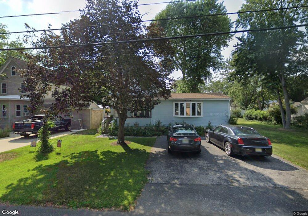
721 Calhoun Ave Mays Landing, NJ 08330
Estimated Value: $247,446 - $340,000
--
Bed
--
Bath
1,518
Sq Ft
$197/Sq Ft
Est. Value
About This Home
This home is located at 721 Calhoun Ave, Mays Landing, NJ 08330 and is currently estimated at $298,482, approximately $196 per square foot. 721 Calhoun Ave is a home located in Atlantic County with nearby schools including Joseph Shaner School, George L. Hess Educational Complex, and William Davies Middle School.
Ownership History
Date
Name
Owned For
Owner Type
Purchase Details
Closed on
Jan 22, 1993
Sold by
Piacentino Deborah
Bought by
Piacentino Robert
Current Estimated Value
Create a Home Valuation Report for This Property
The Home Valuation Report is an in-depth analysis detailing your home's value as well as a comparison with similar homes in the area
Home Values in the Area
Average Home Value in this Area
Purchase History
| Date | Buyer | Sale Price | Title Company |
|---|---|---|---|
| Piacentino Robert | -- | -- |
Source: Public Records
Tax History Compared to Growth
Tax History
| Year | Tax Paid | Tax Assessment Tax Assessment Total Assessment is a certain percentage of the fair market value that is determined by local assessors to be the total taxable value of land and additions on the property. | Land | Improvement |
|---|---|---|---|---|
| 2025 | $4,927 | $143,600 | $44,500 | $99,100 |
| 2024 | $4,927 | $143,600 | $44,500 | $99,100 |
| 2023 | $4,633 | $143,600 | $44,500 | $99,100 |
| 2022 | $4,633 | $143,600 | $44,500 | $99,100 |
| 2021 | $4,622 | $143,600 | $44,500 | $99,100 |
| 2020 | $4,622 | $143,600 | $44,500 | $99,100 |
| 2019 | $4,634 | $143,600 | $44,500 | $99,100 |
| 2018 | $4,472 | $143,600 | $44,500 | $99,100 |
| 2017 | $4,401 | $143,600 | $44,500 | $99,100 |
| 2016 | $4,278 | $143,600 | $44,500 | $99,100 |
| 2015 | $4,133 | $143,600 | $44,500 | $99,100 |
| 2014 | $4,237 | $161,300 | $53,200 | $108,100 |
Source: Public Records
Map
Nearby Homes
- 717 Route 50
- 526 Bainbridge Ave
- 565 Park Rd
- 535 Park Rd
- 1st First Ave
- 0 3rd St
- Lot:11.02-12.02 Estelle Ave
- B:534 L:11.01 Estelle Ave
- B:534 L:12.02 Estelle Ave
- B:534 L:11.02 Estelle Ave
- 0 Cape May Ave
- Bl 531 Lot 8&9 Adams Ave
- Rt 50 and Old Mays Landing Rd
- 22 Ernst Ct
- 42 Ernst Ct
- 5745 2nd St
- 80 Mill St
- 850 Morningside Dr
- 504 Meadowbrook Dr
- 18 Lewis Dr
- 737 Calhoun St
- 709 Calhoun Ave
- 720 Bainbridge Ave
- 737 Calhoun Ave
- 710 Calhoun Ave
- 736 Bainbridge Ave
- 710 Calhoun St
- 6209 7th St
- 732 Calhoun Ave
- 700 Calhoun Ave
- 6204 9th St
- 740 Calhoun Ave
- 6208 9th St
- 6204 7th St
- 709 Bainbridge Ave
- 735 Decatur Ave
- 701 Decatur Ave
- 737 Bainbridge Ave
- 570 Bainbridge Ave
- 6108 7th St