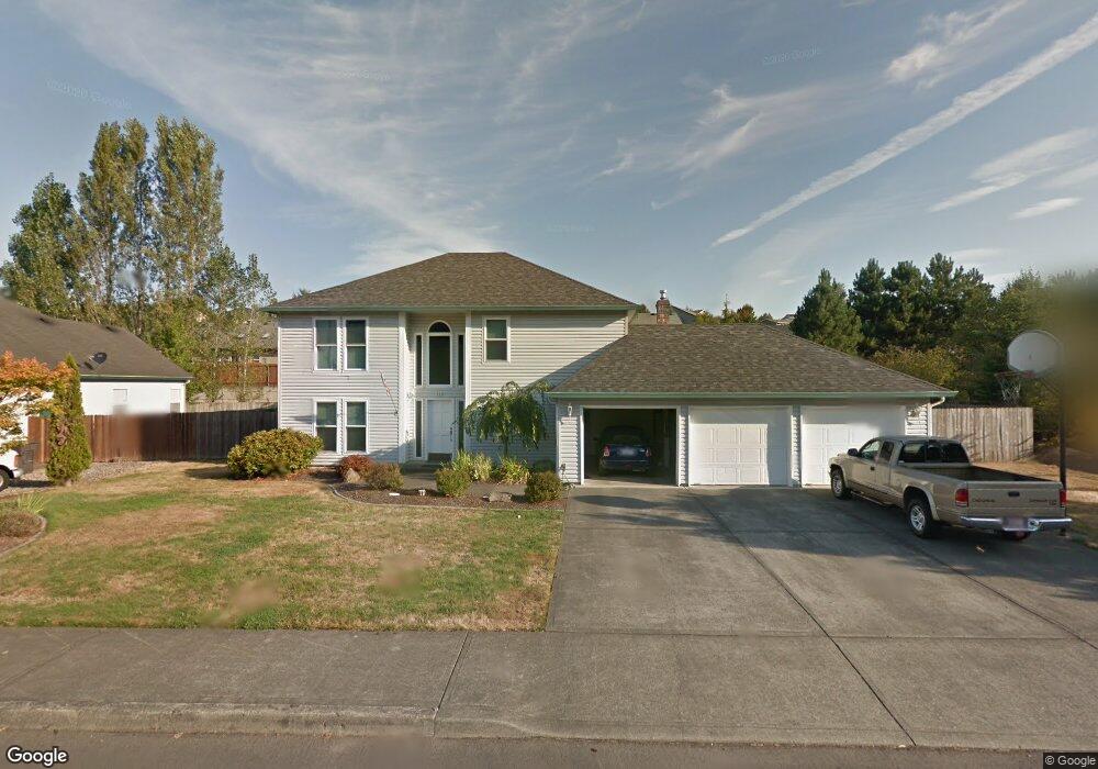
721 E 7th St La Center, WA 98629
Estimated Value: $545,000 - $622,000
4
Beds
3
Baths
2,324
Sq Ft
$255/Sq Ft
Est. Value
About This Home
This home is located at 721 E 7th St, La Center, WA 98629 and is currently estimated at $592,703, approximately $255 per square foot. 721 E 7th St is a home located in Clark County with nearby schools including La Center Elementary School, La Center Middle School, and La Center High School.
Ownership History
Date
Name
Owned For
Owner Type
Purchase Details
Closed on
Oct 30, 1997
Sold by
Smith Douglas J and Smith Diana L
Bought by
Emerson Walter D and Emerson Sheryl L
Current Estimated Value
Home Financials for this Owner
Home Financials are based on the most recent Mortgage that was taken out on this home.
Original Mortgage
$167,200
Outstanding Balance
$24,666
Interest Rate
6.12%
Estimated Equity
$568,037
Create a Home Valuation Report for This Property
The Home Valuation Report is an in-depth analysis detailing your home's value as well as a comparison with similar homes in the area
Home Values in the Area
Average Home Value in this Area
Purchase History
| Date | Buyer | Sale Price | Title Company |
|---|---|---|---|
| Emerson Walter D | $209,000 | Charter Title Corp |
Source: Public Records
Mortgage History
| Date | Status | Borrower | Loan Amount |
|---|---|---|---|
| Open | Emerson Walter D | $167,200 |
Source: Public Records
Tax History Compared to Growth
Tax History
| Year | Tax Paid | Tax Assessment Tax Assessment Total Assessment is a certain percentage of the fair market value that is determined by local assessors to be the total taxable value of land and additions on the property. | Land | Improvement |
|---|---|---|---|---|
| 2025 | $4,912 | $547,688 | $185,400 | $362,288 |
| 2024 | $4,554 | $532,276 | $185,400 | $346,876 |
| 2023 | $4,366 | $514,120 | $180,000 | $334,120 |
| 2022 | $4,230 | $476,039 | $140,000 | $336,039 |
| 2021 | $4,168 | $409,323 | $112,000 | $297,323 |
| 2020 | $3,988 | $379,884 | $104,000 | $275,884 |
| 2019 | $3,826 | $355,335 | $93,600 | $261,735 |
| 2018 | $3,523 | $347,119 | $0 | $0 |
| 2017 | $3,116 | $316,146 | $0 | $0 |
| 2016 | $3,062 | $296,784 | $0 | $0 |
| 2015 | $3,034 | $271,674 | $0 | $0 |
| 2014 | -- | $257,410 | $0 | $0 |
| 2013 | -- | $219,361 | $0 | $0 |
Source: Public Records
Map
Nearby Homes
- 1035 E Pioneer Loop
- 313 E Caribou Ct
- 313 E Caribou Ct Unit 24
- 642 E Pioneer Loop
- 1350 E 14th Cir
- 790 E 15th Cir
- 1506 E Heritage Loop
- 1003 E Southview Heights Dr
- 1292 E Lucas St
- 135 E Airedale Ave
- 0 NE 339th St Unit 706714287
- 124 W 12th Way
- 1202 W Avocet Place
- 101 W 15th Cir
- 1503 W Alder Place
- Grandview Plan at Stephens Hillside Farm
- Chelan Plan at Stephens Hillside Farm
- Baker Plan at Stephens Hillside Farm
- Cashmere Plan at Stephens Hillside Farm
- Brier Plan at Stephens Hillside Farm
- 803 E 7th St
- 719 E 7th St
- 1020 E Pioneer Loop
- 942 E Pioneer Loop
- 1046 E Pioneer Loop
- 724 E 7th St
- 712 E 7th St
- 815 E 7th St
- 800 E 7th St
- 707 E 7th St
- 0 E Pioneer Loop
- 900 E Pioneer Loop
- 1082 E Pioneer Loop
- 1263 E Spencer Ct
- 730 E 7th St
- 816 E 7th St
- 655 E Stonecreek Dr
- 824 E Pioneer Loop
- 1260 E Spencer Ct
- 703 E Stonecreek Dr