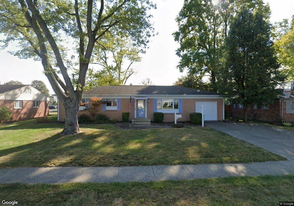
721 Maple Ln Brownsburg, IN 46112
Estimated Value: $240,000 - $289,634
3
Beds
3
Baths
2,430
Sq Ft
$109/Sq Ft
Est. Value
About This Home
This home is located at 721 Maple Ln, Brownsburg, IN 46112 and is currently estimated at $265,909, approximately $109 per square foot. 721 Maple Ln is a home located in Hendricks County with nearby schools including Brown Elementary School, Brownsburg West Middle School, and Brownsburg High School.
Ownership History
Date
Name
Owned For
Owner Type
Purchase Details
Closed on
Oct 13, 2023
Sold by
Ohara Jeananne and Robinson Jeananne
Bought by
Ohara Jeananne and Ohara William
Current Estimated Value
Purchase Details
Closed on
Dec 29, 2010
Sold by
Goldstein Adam and Runkle Robin
Bought by
Richer Jeananne R
Purchase Details
Closed on
Mar 30, 2007
Sold by
Mingus P Scott and Mingus Krista
Bought by
Goldstein Adam and Runkle Robin
Home Financials for this Owner
Home Financials are based on the most recent Mortgage that was taken out on this home.
Original Mortgage
$100,000
Interest Rate
7.87%
Mortgage Type
Adjustable Rate Mortgage/ARM
Create a Home Valuation Report for This Property
The Home Valuation Report is an in-depth analysis detailing your home's value as well as a comparison with similar homes in the area
Home Values in the Area
Average Home Value in this Area
Purchase History
| Date | Buyer | Sale Price | Title Company |
|---|---|---|---|
| Ohara Jeananne | -- | Denali Title | |
| Richer Jeananne R | -- | None Available | |
| Goldstein Adam | -- | Homequest Title Llc |
Source: Public Records
Mortgage History
| Date | Status | Borrower | Loan Amount |
|---|---|---|---|
| Previous Owner | Goldstein Adam | $100,000 |
Source: Public Records
Tax History Compared to Growth
Tax History
| Year | Tax Paid | Tax Assessment Tax Assessment Total Assessment is a certain percentage of the fair market value that is determined by local assessors to be the total taxable value of land and additions on the property. | Land | Improvement |
|---|---|---|---|---|
| 2024 | $1,707 | $218,300 | $29,700 | $188,600 |
| 2023 | $1,333 | $198,400 | $26,900 | $171,500 |
| 2022 | $1,877 | $188,600 | $25,500 | $163,100 |
| 2021 | $1,734 | $174,300 | $25,500 | $148,800 |
| 2020 | $1,690 | $169,900 | $25,500 | $144,400 |
| 2019 | $1,569 | $157,900 | $23,700 | $134,200 |
| 2018 | $1,097 | $114,100 | $23,700 | $90,400 |
| 2017 | $1,014 | $108,600 | $22,800 | $85,800 |
| 2016 | $958 | $105,400 | $22,800 | $82,600 |
| 2014 | $937 | $102,600 | $22,800 | $79,800 |
Source: Public Records
Map
Nearby Homes
- 609 Maple Ln
- 527 S Grant St
- 9937 Us Highway 136
- 1010 Lakewood North Dr
- 645 E Main St
- 390 Vinewood Dr N
- 509 E Main St
- 319 E College Ave
- 601 S Jefferson St
- 370 Vinewood Dr S
- 212 Hamilton St
- 126 Greenacre Dr
- 448 Murphy Ln
- 114 S Jefferson St
- 8570 Hudson Way
- 6843 Sable Point Dr
- 8691 Laurelton Place
- 3058 Sharon Cir
- 8610 Hudson Way
- 35 Robinwood Dr