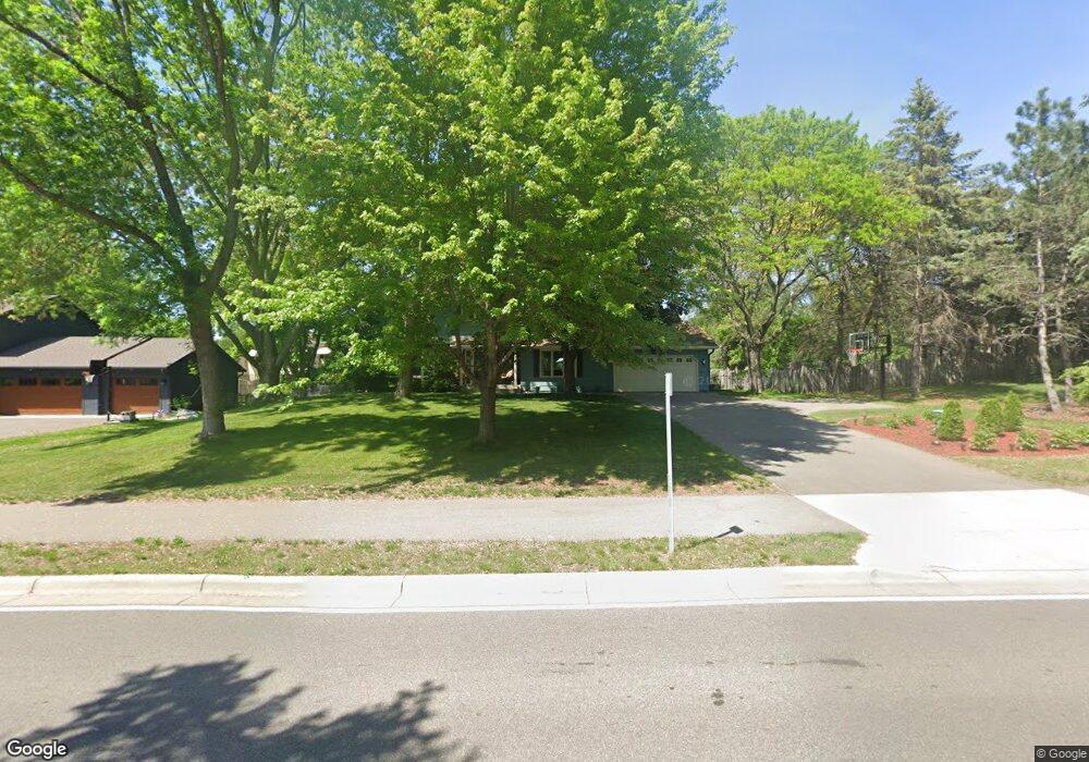
721 Marie Ave W Saint Paul, MN 55118
Estimated Value: $564,000 - $706,000
3
Beds
3
Baths
2,500
Sq Ft
$242/Sq Ft
Est. Value
About This Home
This home is located at 721 Marie Ave W, Saint Paul, MN 55118 and is currently estimated at $604,675, approximately $241 per square foot. 721 Marie Ave W is a home located in Dakota County with nearby schools including Somerset Elementary School, Heritage E-STEM Magnet School, and Two Rivers High School.
Ownership History
Date
Name
Owned For
Owner Type
Purchase Details
Closed on
Dec 4, 2012
Sold by
Anderson Alan J and Anderson Cheryl Ann
Bought by
Miller Mark M and Miller Kathleen C
Current Estimated Value
Home Financials for this Owner
Home Financials are based on the most recent Mortgage that was taken out on this home.
Original Mortgage
$288,000
Outstanding Balance
$199,255
Interest Rate
3.34%
Mortgage Type
New Conventional
Estimated Equity
$405,420
Create a Home Valuation Report for This Property
The Home Valuation Report is an in-depth analysis detailing your home's value as well as a comparison with similar homes in the area
Home Values in the Area
Average Home Value in this Area
Purchase History
| Date | Buyer | Sale Price | Title Company |
|---|---|---|---|
| Miller Mark M | $320,000 | Global Closing & Title Svcs |
Source: Public Records
Mortgage History
| Date | Status | Borrower | Loan Amount |
|---|---|---|---|
| Open | Miller Mark M | $288,000 |
Source: Public Records
Tax History Compared to Growth
Tax History
| Year | Tax Paid | Tax Assessment Tax Assessment Total Assessment is a certain percentage of the fair market value that is determined by local assessors to be the total taxable value of land and additions on the property. | Land | Improvement |
|---|---|---|---|---|
| 2024 | $5,122 | $503,800 | $145,100 | $358,700 |
| 2023 | $5,122 | $479,800 | $141,900 | $337,900 |
| 2022 | $4,458 | $450,300 | $141,500 | $308,800 |
| 2021 | $4,498 | $376,700 | $123,100 | $253,600 |
| 2020 | $3,826 | $370,300 | $117,200 | $253,100 |
| 2019 | $3,703 | $363,700 | $111,600 | $252,100 |
| 2018 | $3,528 | $334,300 | $104,300 | $230,000 |
| 2017 | $3,501 | $330,500 | $99,300 | $231,200 |
| 2016 | $3,305 | $316,800 | $94,600 | $222,200 |
| 2015 | $3,321 | $301,700 | $94,600 | $207,100 |
| 2014 | -- | $292,100 | $89,300 | $202,800 |
| 2013 | -- | $261,100 | $86,600 | $174,500 |
Source: Public Records
Map
Nearby Homes
- 1774 Dodd Rd
- 679 Marie Ave W
- 685 Hidden Creek Trail
- 792 Hilltop Rd
- 1941 Dodd Rd
- 1912 South Ln
- 614 Hidden Creek Trail
- 884 Marie Ave W
- XXX Barbara Ct
- 600 Wentworth Ave
- 1860 Eagle Ridge Dr Unit W303
- 1626 Diane Rd
- 912 Crown Ct
- 1810 Delaware Ave
- 485 Preserve Path
- 795 Creek Ave
- 1759 Lilac Ln
- 1320 Riverside Ln Unit 303
- 1320 Riverside Ln Unit 112
- 1925 Walsh Ln
- 721 721 Marie Ave W
- 721 721 Marie-Avenue-w
- 725 Marie Ave W
- 717 Marie Ave W
- 717 717 Marie Ave
- 720 Round Hill Rd
- 718 Round Hill Rd
- 722 Round Hill Rd
- 720 Marie Ave W
- 729 Marie Ave W
- 726 Marie Ave W
- 724 Round Hill Rd
- 1781 Dodd Rd
- 716 Round Hill Rd
- 730 Marie Ave W
- 721 721 Roundhill-Road-
- 721 721 Round Hill Rd
- 721 Round Hill Rd
- 1792 Sutton Ln
- 719 Spring Creek Cir