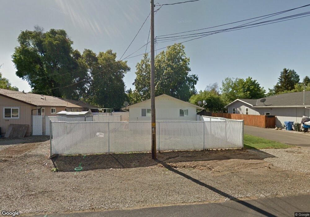
721 S Platt St Eagle Point, OR 97524
Estimated Value: $342,000 - $348,000
4
Beds
2
Baths
1,560
Sq Ft
$221/Sq Ft
Est. Value
About This Home
This home is located at 721 S Platt St, Eagle Point, OR 97524 and is currently estimated at $344,552, approximately $220 per square foot. 721 S Platt St is a home located in Jackson County with nearby schools including Eagle Point Middle School, White Mountain Middle School, and Eagle Point High School.
Ownership History
Date
Name
Owned For
Owner Type
Purchase Details
Closed on
Dec 16, 1999
Sold by
Hill Edward F Trustee Fbo
Bought by
Kimmel Dirk Randan
Current Estimated Value
Home Financials for this Owner
Home Financials are based on the most recent Mortgage that was taken out on this home.
Original Mortgage
$71,500
Interest Rate
7.82%
Mortgage Type
Seller Take Back
Create a Home Valuation Report for This Property
The Home Valuation Report is an in-depth analysis detailing your home's value as well as a comparison with similar homes in the area
Home Values in the Area
Average Home Value in this Area
Purchase History
| Date | Buyer | Sale Price | Title Company |
|---|---|---|---|
| Kimmel Dirk Randan | $77,500 | Jackson County Title | |
| Kimmel Dirk Randan | $77,500 | Jackson County Title |
Source: Public Records
Mortgage History
| Date | Status | Borrower | Loan Amount |
|---|---|---|---|
| Closed | Kimmel Dirk Randan | $71,500 |
Source: Public Records
Tax History Compared to Growth
Tax History
| Year | Tax Paid | Tax Assessment Tax Assessment Total Assessment is a certain percentage of the fair market value that is determined by local assessors to be the total taxable value of land and additions on the property. | Land | Improvement |
|---|---|---|---|---|
| 2025 | $2,155 | $157,500 | $53,690 | $103,810 |
| 2024 | $2,155 | $152,920 | $52,130 | $100,790 |
| 2023 | $2,082 | $148,470 | $50,610 | $97,860 |
| 2022 | $2,025 | $148,470 | $50,610 | $97,860 |
| 2021 | $1,966 | $144,150 | $49,140 | $95,010 |
| 2020 | $2,088 | $139,960 | $47,710 | $92,250 |
| 2019 | $2,056 | $131,940 | $44,960 | $86,980 |
| 2018 | $2,017 | $128,100 | $43,640 | $84,460 |
| 2017 | $1,968 | $128,100 | $43,640 | $84,460 |
| 2016 | $1,929 | $120,750 | $41,150 | $79,600 |
| 2015 | $1,801 | $115,020 | $39,940 | $75,080 |
| 2014 | $1,747 | $113,830 | $38,790 | $75,040 |
Source: Public Records
Map
Nearby Homes
- 0 Sf Little Butte Unit 220204792
- 470 Old Highway 62 Unit 2
- 416 S Royal Ave
- 247 Lorraine Ave
- 804 S Shasta Ave
- 315 S Buchanan Ave
- 221 Ortega St
- 323 S Shasta Ave
- 522 Meadow Ln
- 429 Arrowhead Trail
- 599 Arrowhead Trail
- 118 Pebble Creek Dr
- 10569 Hannon Rd
- 888 Arrowhead Trail
- 179 N Deanjou Ave
- 828 St Andrews Way
- 1065 S Shasta Ave
- 949 Arrowhead Trail
- 284 E Main St
- 124 Paxon Ave
- 743 S Platt St
- 119 Fargo St
- 743 S Platt Ave
- 743 Platt Place
- 107 S Fargo St
- 765 S Platt St
- 765 S Platt Ave
- 722 S Royal Ave
- 710 S Royal Ave
- 712 Platt Place
- 205 Fargo St Unit 2
- 205 Fargo St
- 726 S Royal Ave
- 712 S Platt St
- 724 S Platt St
- 724 S Platt Ave
- 0 Fargo St
- 734 S Royal Ave
- 122 Fargo St
- 776 S Platt St