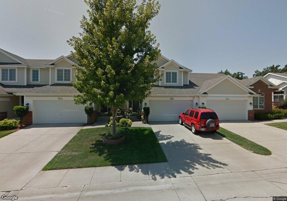
7216 Espanade St Johnston, IA 50131
North District NeighborhoodEstimated Value: $255,000 - $269,000
2
Beds
3
Baths
1,573
Sq Ft
$167/Sq Ft
Est. Value
About This Home
This home is located at 7216 Espanade St, Johnston, IA 50131 and is currently estimated at $262,994, approximately $167 per square foot. 7216 Espanade St is a home located in Polk County with nearby schools including Henry A. Wallace Elementary School, Johnston Middle School, and Summit Middle School.
Ownership History
Date
Name
Owned For
Owner Type
Purchase Details
Closed on
May 29, 2002
Sold by
Rittgers Oaks Townhomes Lc
Bought by
Mcgrew Earl T and Mcgrew Debra K
Current Estimated Value
Home Financials for this Owner
Home Financials are based on the most recent Mortgage that was taken out on this home.
Original Mortgage
$126,350
Outstanding Balance
$53,616
Interest Rate
7%
Estimated Equity
$209,378
Create a Home Valuation Report for This Property
The Home Valuation Report is an in-depth analysis detailing your home's value as well as a comparison with similar homes in the area
Home Values in the Area
Average Home Value in this Area
Purchase History
| Date | Buyer | Sale Price | Title Company |
|---|---|---|---|
| Mcgrew Earl T | $157,500 | -- |
Source: Public Records
Mortgage History
| Date | Status | Borrower | Loan Amount |
|---|---|---|---|
| Open | Mcgrew Earl T | $126,350 |
Source: Public Records
Tax History Compared to Growth
Tax History
| Year | Tax Paid | Tax Assessment Tax Assessment Total Assessment is a certain percentage of the fair market value that is determined by local assessors to be the total taxable value of land and additions on the property. | Land | Improvement |
|---|---|---|---|---|
| 2025 | $3,770 | $257,900 | $42,000 | $215,900 |
| 2024 | $3,770 | $242,300 | $38,800 | $203,500 |
| 2023 | $3,752 | $242,300 | $38,800 | $203,500 |
| 2022 | $4,190 | $205,600 | $33,900 | $171,700 |
| 2021 | $4,142 | $205,600 | $33,900 | $171,700 |
| 2020 | $4,070 | $193,800 | $31,700 | $162,100 |
| 2019 | $4,048 | $193,800 | $31,700 | $162,100 |
| 2018 | $3,940 | $179,100 | $28,500 | $150,600 |
| 2017 | $3,600 | $179,100 | $28,500 | $150,600 |
| 2016 | $3,520 | $161,200 | $21,200 | $140,000 |
| 2015 | $3,520 | $161,200 | $21,200 | $140,000 |
| 2014 | $3,224 | $151,700 | $26,500 | $125,200 |
Source: Public Records
Map
Nearby Homes
- 7087 Hillcrest Ct
- Dahlia Plan at Hyperion Woods
- Cromwell Plan at Hyperion Woods
- Palasade Plan at Hyperion Woods
- Monterey Plan at Hyperion Woods
- Palmer Plan at Hyperion Woods
- Danbury Plan at Hyperion Woods
- Cadbury Plan at Hyperion Woods
- 7100 NW Beaver Dr
- 6913 Lewis Carroll Ct
- 5395 NW 72nd Place
- Lot 14 NW 54th Ct
- 6925 Northglenn Way
- 7080 Forest Dr
- 7059 Coburn Ln
- 5517 Kensington Cir
- 7217 NW 107th St
- 5320 NW 66th Place
- 6465 NW 56th St
- 6404 NW 56th St
- 7214 Espanade St
- 7218 Espanade St
- 7212 Espanade St
- 7230 Espanade St
- 7210 Espanade St
- 7232 Espanade St
- 6118 Cottage Dr
- 7234 Espanade St
- 6116 Cottage Dr
- 7170 Espanade St
- 7231 Espanade St
- 7236 Espanade St
- 7233 Espanade St
- 6114 Cottage Dr
- 7173 Espanade St
- 7168 Espanade St
- 7238 Espanade St
- 7235 Espanade St
- 7171 Espanade St
- 7166 Espanade St