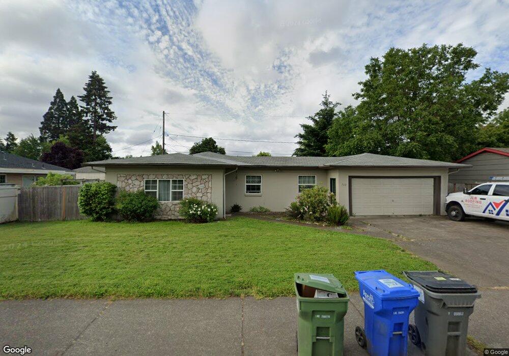
722 Maxwell Rd Eugene, OR 97404
River Road NeighborhoodEstimated Value: $417,144 - $462,000
3
Beds
2
Baths
1,460
Sq Ft
$300/Sq Ft
Est. Value
About This Home
This home is located at 722 Maxwell Rd, Eugene, OR 97404 and is currently estimated at $437,286, approximately $299 per square foot. 722 Maxwell Rd is a home located in Lane County with nearby schools including Howard Elementary School, Kelly Middle School, and North Eugene High School.
Ownership History
Date
Name
Owned For
Owner Type
Purchase Details
Closed on
Sep 17, 2024
Sold by
Westfall Gary
Bought by
Gary Westfall Llc
Current Estimated Value
Purchase Details
Closed on
Mar 10, 2022
Sold by
Gary Westfall
Bought by
Perfect Home Inc
Purchase Details
Closed on
Feb 18, 2014
Sold by
Secretary Of Housing & Urban Development
Bought by
Westfall Gary
Purchase Details
Closed on
Oct 25, 2013
Sold by
Carlson Jerry A and Carlson Lydia Urias
Bought by
Wells Fargo Bank Na
Purchase Details
Closed on
Oct 7, 2013
Sold by
Wells Fargo Bank Na
Bought by
Secretary Of Housing & Urban Development
Purchase Details
Closed on
Jun 29, 2006
Sold by
Carlson Jerry A and Carlson Lydia U
Bought by
Carlson Jerry A
Create a Home Valuation Report for This Property
The Home Valuation Report is an in-depth analysis detailing your home's value as well as a comparison with similar homes in the area
Home Values in the Area
Average Home Value in this Area
Purchase History
| Date | Buyer | Sale Price | Title Company |
|---|---|---|---|
| Gary Westfall Llc | -- | None Listed On Document | |
| Perfect Home Inc | $65,000 | None Listed On Document | |
| Westfall Gary | $100,000 | Cascade Title Company | |
| Wells Fargo Bank Na | $216,152 | Lps Default Title | |
| Secretary Of Housing & Urban Development | -- | None Available | |
| Carlson Jerry A | $16,344 | Fidelity National Title Insu |
Source: Public Records
Tax History
| Year | Tax Paid | Tax Assessment Tax Assessment Total Assessment is a certain percentage of the fair market value that is determined by local assessors to be the total taxable value of land and additions on the property. | Land | Improvement |
|---|---|---|---|---|
| 2025 | $3,720 | $221,421 | -- | -- |
| 2024 | $3,679 | $214,972 | -- | -- |
| 2023 | $3,679 | $208,711 | $0 | $0 |
| 2022 | $3,461 | $202,633 | $0 | $0 |
| 2021 | $3,218 | $196,732 | $0 | $0 |
| 2020 | $3,241 | $191,002 | $0 | $0 |
| 2019 | $3,127 | $185,439 | $0 | $0 |
| 2018 | $2,916 | $174,794 | $0 | $0 |
| 2017 | $2,756 | $174,794 | $0 | $0 |
| 2016 | $2,598 | $169,703 | $0 | $0 |
| 2015 | $2,493 | $164,760 | $0 | $0 |
| 2014 | $2,161 | $140,946 | $0 | $0 |
Source: Public Records
Map
Nearby Homes
- 1566 Maywood Ave
- 1682 Hemlock St
- 1755 Brentwood Ave
- 389 Maxwell Rd
- 1880 Manihi Dr
- 1314 Dalton Dr
- 1487 Barton St
- 1483 Barton St
- 401 Sterling Dr
- 1685 Evergreen Dr
- 1360 Andersen Ln
- 1307 Bramblewood Ln
- 1420 Evergreen Dr
- 788 Cornwall Ave
- 303 Lenore Loop
- 2439 Quince St
- 1010 Horn Ln
- 541 Durham Ave
- 193 Santa Clara Ave
- 154 Norman Ave
Your Personal Tour Guide
Ask me questions while you tour the home.