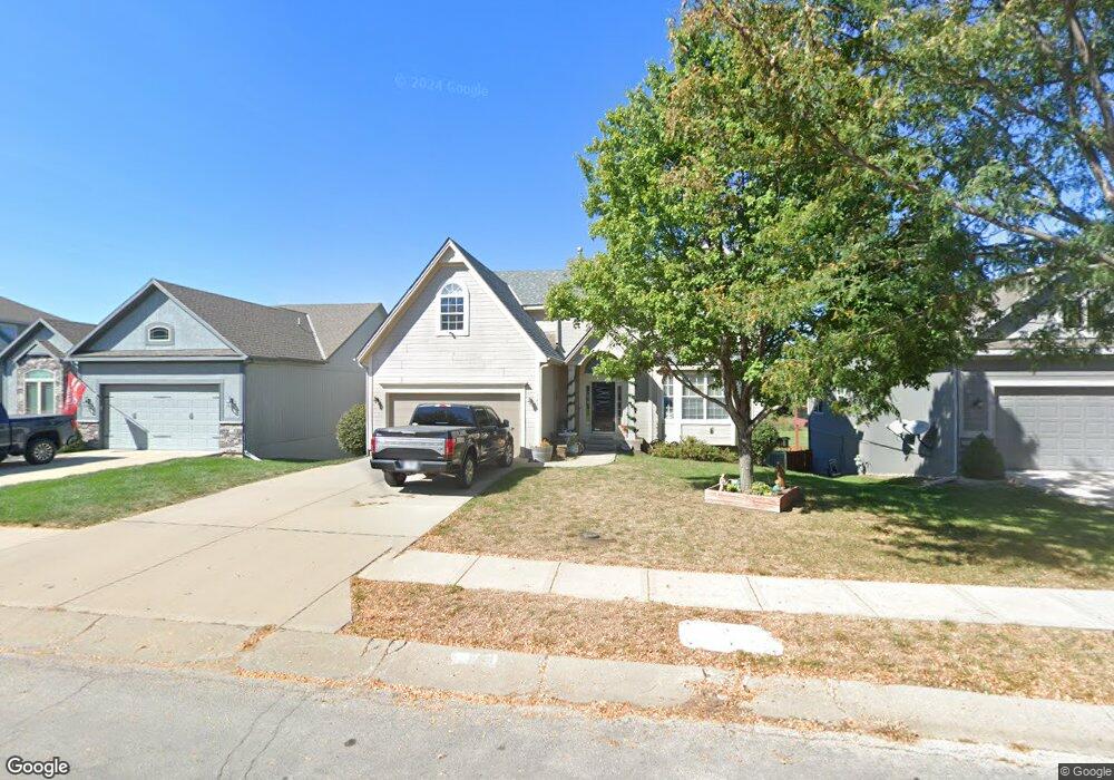
722 S Adams St Raymore, MO 64083
Estimated Value: $398,339 - $434,000
4
Beds
3
Baths
2,708
Sq Ft
$151/Sq Ft
Est. Value
About This Home
This home is located at 722 S Adams St, Raymore, MO 64083 and is currently estimated at $409,585, approximately $151 per square foot. 722 S Adams St is a home located in Cass County with nearby schools including Raymore Elementary School, Raymore-Peculiar East Middle School, and Raymore-Peculiar Senior High School.
Ownership History
Date
Name
Owned For
Owner Type
Purchase Details
Closed on
Dec 3, 2021
Sold by
Morin Mike L and Morin Rena P
Bought by
Morin Michael L and Morin Rena P
Current Estimated Value
Purchase Details
Closed on
Jul 15, 2005
Sold by
Chris George Homes Inc
Bought by
Morin Mike L and Morin Rena P
Home Financials for this Owner
Home Financials are based on the most recent Mortgage that was taken out on this home.
Original Mortgage
$221,681
Outstanding Balance
$113,873
Interest Rate
5.61%
Mortgage Type
VA
Estimated Equity
$295,712
Create a Home Valuation Report for This Property
The Home Valuation Report is an in-depth analysis detailing your home's value as well as a comparison with similar homes in the area
Home Values in the Area
Average Home Value in this Area
Purchase History
| Date | Buyer | Sale Price | Title Company |
|---|---|---|---|
| Morin Michael L | -- | None Available | |
| Morin Mike L | -- | -- |
Source: Public Records
Mortgage History
| Date | Status | Borrower | Loan Amount |
|---|---|---|---|
| Open | Morin Mike L | $221,681 |
Source: Public Records
Tax History
| Year | Tax Paid | Tax Assessment Tax Assessment Total Assessment is a certain percentage of the fair market value that is determined by local assessors to be the total taxable value of land and additions on the property. | Land | Improvement |
|---|---|---|---|---|
| 2025 | $3,921 | $54,580 | $5,300 | $49,280 |
| 2024 | $3,921 | $48,180 | $4,820 | $43,360 |
| 2023 | $3,916 | $48,180 | $4,820 | $43,360 |
| 2022 | $3,507 | $42,870 | $4,820 | $38,050 |
| 2021 | $3,508 | $42,870 | $4,820 | $38,050 |
| 2020 | $3,498 | $41,990 | $4,820 | $37,170 |
| 2019 | $3,377 | $41,990 | $4,820 | $37,170 |
| 2018 | $3,076 | $36,940 | $4,020 | $32,920 |
| 2017 | $2,806 | $36,940 | $4,020 | $32,920 |
| 2016 | $2,806 | $34,970 | $4,020 | $30,950 |
| 2015 | $2,807 | $34,970 | $4,020 | $30,950 |
| 2014 | $2,809 | $34,970 | $4,020 | $30,950 |
| 2013 | -- | $34,970 | $4,020 | $30,950 |
Source: Public Records
Map
Nearby Homes
- 804 S Washington St
- 605 S Franklin St
- 512 S Washington St
- 506 S Adams St
- 507 S Washington St
- 503 S Harrison Ave
- 713 S Sunset Ln
- 405 S Monroe St
- 205 W Olive St
- 528 S Saturn Dr
- 812 Cypress Ct
- 302 E Olive St
- 901 W Lucy Webb Rd
- 204 N Pointe Ln
- 105 N Lakeshore Dr
- 222 N Madison St
- 108 Rainbow Cir
- 219 Pointe Ln
- 1103 Carlisle Dr
- 221 N Pointe Ln