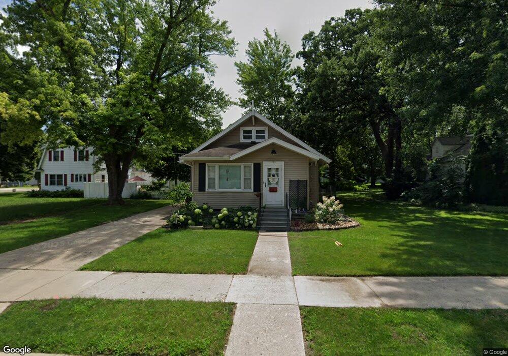
722 Sheridan St Albert Lea, MN 56007
Estimated Value: $149,000 - $193,000
3
Beds
2
Baths
2,192
Sq Ft
$80/Sq Ft
Est. Value
About This Home
This home is located at 722 Sheridan St, Albert Lea, MN 56007 and is currently estimated at $175,509, approximately $80 per square foot. 722 Sheridan St is a home located in Freeborn County with nearby schools including Hawthorne Elementary School, Southwest Middle School, and Albert Lea Senior High School.
Ownership History
Date
Name
Owned For
Owner Type
Purchase Details
Closed on
Apr 23, 2021
Sold by
Hantelman Joel and Hantelman Kristi
Bought by
Kirscch Rocchelle M
Current Estimated Value
Home Financials for this Owner
Home Financials are based on the most recent Mortgage that was taken out on this home.
Original Mortgage
$56,000
Outstanding Balance
$50,561
Interest Rate
3%
Mortgage Type
New Conventional
Estimated Equity
$124,948
Purchase Details
Closed on
Apr 1, 2011
Sold by
Hantelman Joel and Hantelman Kristi
Bought by
Dandrea Rochelle M
Create a Home Valuation Report for This Property
The Home Valuation Report is an in-depth analysis detailing your home's value as well as a comparison with similar homes in the area
Home Values in the Area
Average Home Value in this Area
Purchase History
| Date | Buyer | Sale Price | Title Company |
|---|---|---|---|
| Kirscch Rocchelle M | $79,900 | North American Title Co | |
| Dandrea Rochelle M | $79,900 | -- |
Source: Public Records
Mortgage History
| Date | Status | Borrower | Loan Amount |
|---|---|---|---|
| Open | Kirscch Rocchelle M | $56,000 |
Source: Public Records
Tax History Compared to Growth
Tax History
| Year | Tax Paid | Tax Assessment Tax Assessment Total Assessment is a certain percentage of the fair market value that is determined by local assessors to be the total taxable value of land and additions on the property. | Land | Improvement |
|---|---|---|---|---|
| 2025 | $1,970 | $163,200 | $16,300 | $146,900 |
| 2024 | $1,780 | $152,100 | $16,300 | $135,800 |
| 2023 | $1,910 | $135,800 | $16,300 | $119,500 |
| 2022 | $1,444 | $144,500 | $16,300 | $128,200 |
| 2021 | $1,398 | $103,300 | $13,000 | $90,300 |
| 2020 | $1,210 | $90,700 | $13,000 | $77,700 |
| 2019 | $982 | $79,600 | $11,500 | $68,100 |
| 2018 | $928 | $0 | $0 | $0 |
| 2016 | $762 | $0 | $0 | $0 |
| 2015 | $764 | $0 | $0 | $0 |
| 2014 | $938 | $0 | $0 | $0 |
| 2012 | $1,026 | $0 | $0 | $0 |
Source: Public Records
Map
Nearby Homes
- 713 Minnesota Ave
- 602 Minnesota Ave
- 1020 Saint Jacob Ave
- 1109 Amelia Ave
- 505 Pillsbury Ave
- 902 Clausen Ave
- 613 & 615 Giles Place
- 618 & 620 Giles Place
- 514 Raymond Ave
- 614 Garfield Ave
- 711 Clausen Ave
- 522 Saint Thomas Ave
- 314 Burr Oak Dr
- 209 Burr Oak Dr
- 109 E Hawthorne St
- 313 Glenn Rd
- 103 Giles Place
- 1321 Garfield Ave
- 1200 Crestview Rd
- 1609 Johnson St
- 819 Bridge Ave
- 813 Bridge Ave
- 718 Sheridan St
- 811 Bridge Ave
- 714 Sheridan St
- 807 Bridge Ave
- 717 Sheridan St
- 715 Sheridan St
- 903 Bridge Ave
- 805 Bridge Ave
- 713 Sheridan St
- 710 Sheridan St
- 711 Sheridan St
- 816 Bridge Ave
- 820 Bridge Ave
- 812 Bridge Ave
- 706 Sheridan St
- 803 Bridge Ave
- 808 Bridge Ave
- 902 Bridge Ave