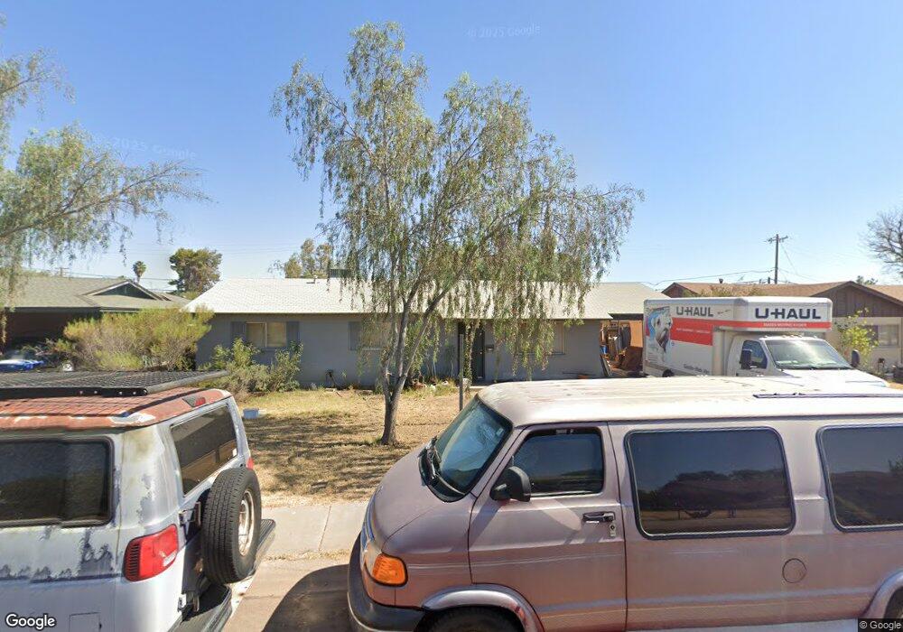
723 W 10th St Tempe, AZ 85281
Mitchell Park West NeighborhoodEstimated Value: $404,618 - $506,000
--
Bed
2
Baths
1,330
Sq Ft
$352/Sq Ft
Est. Value
About This Home
This home is located at 723 W 10th St, Tempe, AZ 85281 and is currently estimated at $468,155, approximately $351 per square foot. 723 W 10th St is a home located in Maricopa County with nearby schools including Geneva Epps Mosley Middle School, Tempe High School, and New School for the Arts & Academics.
Ownership History
Date
Name
Owned For
Owner Type
Purchase Details
Closed on
Mar 12, 2016
Sold by
Haddock Olan Howard
Bought by
Howard Haddock Revocable Living Trust
Current Estimated Value
Purchase Details
Closed on
Feb 10, 2012
Sold by
Livin Haddock Howard and Livin Howard Haddock Revocable
Bought by
Haddock Olan Howard
Home Financials for this Owner
Home Financials are based on the most recent Mortgage that was taken out on this home.
Original Mortgage
$93,750
Interest Rate
3.92%
Mortgage Type
New Conventional
Create a Home Valuation Report for This Property
The Home Valuation Report is an in-depth analysis detailing your home's value as well as a comparison with similar homes in the area
Home Values in the Area
Average Home Value in this Area
Purchase History
| Date | Buyer | Sale Price | Title Company |
|---|---|---|---|
| Howard Haddock Revocable Living Trust | -- | None Available | |
| Haddock Olan Howard | -- | Accommodation |
Source: Public Records
Mortgage History
| Date | Status | Borrower | Loan Amount |
|---|---|---|---|
| Closed | Haddock Olan Howard | $93,750 |
Source: Public Records
Tax History Compared to Growth
Tax History
| Year | Tax Paid | Tax Assessment Tax Assessment Total Assessment is a certain percentage of the fair market value that is determined by local assessors to be the total taxable value of land and additions on the property. | Land | Improvement |
|---|---|---|---|---|
| 2025 | $2,169 | $18,096 | -- | -- |
| 2024 | $2,003 | $17,234 | -- | -- |
| 2023 | $2,003 | $35,570 | $7,110 | $28,460 |
| 2022 | $1,921 | $26,510 | $5,300 | $21,210 |
| 2021 | $1,934 | $24,670 | $4,930 | $19,740 |
| 2020 | $1,875 | $22,170 | $4,430 | $17,740 |
| 2019 | $1,840 | $20,220 | $4,040 | $16,180 |
| 2018 | $1,794 | $18,500 | $3,700 | $14,800 |
| 2017 | $1,741 | $17,010 | $3,400 | $13,610 |
| 2016 | $1,729 | $15,560 | $3,110 | $12,450 |
| 2015 | $1,660 | $13,450 | $2,690 | $10,760 |
Source: Public Records
Map
Nearby Homes
- 620 W Howe St
- 815 W Elna Rae St
- 522 W Howe St
- 538 W 13th St
- 538 W 13th St Unit A
- 919 S Wilson St Unit 5
- 635 W 13th St
- 700 W University Dr Unit 122
- 700 W University Dr Unit 253
- 1218 S Farmer Ave
- 1234 S Farmer Ave
- 1219 S Farmer Ave
- 942 S Ash Ave Unit 103
- 606 S Roosevelt St
- 626 S Wilson St
- 601 W 15th St
- 117 W 10th St
- 1111 W University Dr Unit 3012
- 535 W 15th St
- 919 W Parkway Blvd