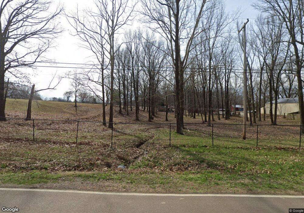
7233 Austin Rd Lake Cormorant, MS 38641
Lake Cormorant NeighborhoodEstimated Value: $387,000 - $435,136
3
Beds
--
Bath
2,515
Sq Ft
$163/Sq Ft
Est. Value
About This Home
This home is located at 7233 Austin Rd, Lake Cormorant, MS 38641 and is currently estimated at $410,045, approximately $163 per square foot. 7233 Austin Rd is a home located in DeSoto County with nearby schools including Lake Cormorant Elementary School, Horn Lake Intermediate School, and Horn Lake Middle School.
Ownership History
Date
Name
Owned For
Owner Type
Purchase Details
Closed on
Jul 15, 2024
Sold by
Davenport Sheila D Taylor and Davenport Rickey
Bought by
Odum Marshall
Current Estimated Value
Purchase Details
Closed on
Aug 31, 2009
Sold by
Landmark Community Bank
Bought by
Smith Robert E
Purchase Details
Closed on
Aug 13, 2009
Sold by
Henderson Mitchell and Henderson Margaret A
Bought by
Landmark Community Bank
Create a Home Valuation Report for This Property
The Home Valuation Report is an in-depth analysis detailing your home's value as well as a comparison with similar homes in the area
Home Values in the Area
Average Home Value in this Area
Purchase History
| Date | Buyer | Sale Price | Title Company |
|---|---|---|---|
| Odum Marshall | -- | Select Title & Escrow | |
| Odum Marshall | -- | Select Title & Escrow | |
| Smith Robert E | -- | None Available | |
| Landmark Community Bank | $54,608 | None Available |
Source: Public Records
Tax History Compared to Growth
Tax History
| Year | Tax Paid | Tax Assessment Tax Assessment Total Assessment is a certain percentage of the fair market value that is determined by local assessors to be the total taxable value of land and additions on the property. | Land | Improvement |
|---|---|---|---|---|
| 2025 | $2,652 | $26,265 | $5,000 | $21,265 |
| 2024 | $1,783 | $20,632 | $5,000 | $15,632 |
| 2023 | $1,783 | $20,632 | $0 | $0 |
| 2022 | $1,783 | $20,632 | $5,000 | $15,632 |
| 2021 | $1,783 | $20,632 | $5,000 | $15,632 |
| 2020 | $1,668 | $19,493 | $5,000 | $14,493 |
| 2019 | $1,668 | $19,493 | $5,000 | $14,493 |
| 2017 | $1,591 | $32,192 | $18,596 | $13,596 |
| 2016 | $1,591 | $16,816 | $5,000 | $11,816 |
| 2015 | $1,710 | $28,632 | $16,816 | $11,816 |
| 2014 | $1,710 | $16,816 | $0 | $0 |
| 2013 | $947 | $16,816 | $0 | $0 |
Source: Public Records
Map
Nearby Homes
- Lot 6 Summer Cir
- Lot 15 Michael Dr
- 6175 Skyler Rd
- 0 Hwy 301 Unit 4116463
- 0 Church Rd Unit 4087501
- 0 Church Rd Unit 4113452
- 0 Church Rd Unit 24641093
- 7 Church Rd
- 8 Church Rd
- 2 Church Rd
- 3 Church Rd
- 6 Church Rd
- 5 Church Rd
- 4 Church Rd
- 1 Church Rd
- 101 Baldwin Rd
- 6193 Nesbit Rd
- 5843 Ashford Dr
- 4889 Austin Rd
- 5562 Caroline Dr
- 7205 Austin Rd
- 7205 Austin Rd
- 5 W Austin Rd
- 7197 Austin Rd
- 7187 Austin Rd
- 7325 Austin Rd
- 7351 Austin Rd
- 3871 Marshall Farm Rd
- 3901 Marshall Farm Rd
- 7328 Austin Rd
- 7196 Austin Rd
- 3953 Marshall Farm Rd
- 3953 Marshall Farm Rd
- 7354 Austin Rd
- 3981 Marshall Farms Dr
- 7109 Austin Rd
- 3982 Marshall Farms Dr
- 7290 Austin Rd
- 7210 Austin Rd
- 3919 Marshall Farm Rd
