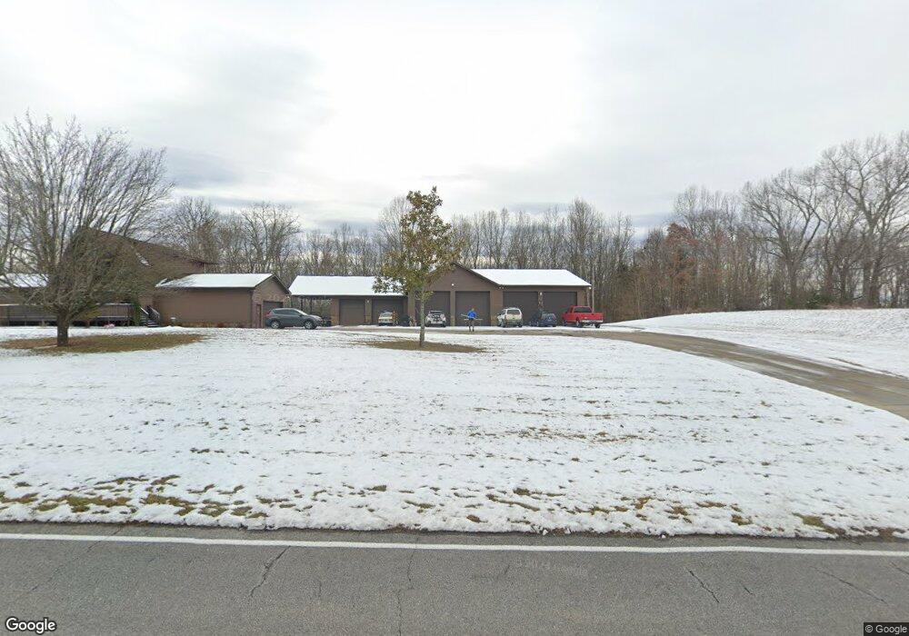
724 Hamilton Rd Blountville, TN 37617
Estimated Value: $445,000 - $769,000
--
Bed
2
Baths
1,694
Sq Ft
$383/Sq Ft
Est. Value
About This Home
This home is located at 724 Hamilton Rd, Blountville, TN 37617 and is currently estimated at $648,850, approximately $383 per square foot. 724 Hamilton Rd is a home located in Sullivan County with nearby schools including Holston Elementary School, Sullivan Central Middle School, and Tri-Cities Christian Academy.
Ownership History
Date
Name
Owned For
Owner Type
Purchase Details
Closed on
Nov 19, 2020
Sold by
Longworth Aaron Michael
Bought by
Tri Cities Airport Authority
Current Estimated Value
Purchase Details
Closed on
Apr 2, 2015
Sold by
Longworth Roger Dale Jr Estate
Bought by
Longworth Aaron Michael
Purchase Details
Closed on
Feb 4, 2014
Sold by
Longworth Karen
Bought by
Longworth Roger Dale
Purchase Details
Closed on
Mar 11, 2013
Purchase Details
Closed on
Sep 15, 1999
Sold by
Roger Longworth
Bought by
Holley Scott A
Home Financials for this Owner
Home Financials are based on the most recent Mortgage that was taken out on this home.
Original Mortgage
$18,660
Interest Rate
7.91%
Purchase Details
Closed on
Jun 15, 1998
Sold by
Morgan Woodacre
Bought by
Roger Longworth
Create a Home Valuation Report for This Property
The Home Valuation Report is an in-depth analysis detailing your home's value as well as a comparison with similar homes in the area
Home Values in the Area
Average Home Value in this Area
Purchase History
| Date | Buyer | Sale Price | Title Company |
|---|---|---|---|
| Tri Cities Airport Authority | $530,000 | None Available | |
| Longworth Aaron Michael | -- | -- | |
| Longworth Roger Dale | -- | -- | |
| -- | $6,500 | -- | |
| Holley Scott A | $24,000 | -- | |
| Roger Longworth | $51,500 | -- |
Source: Public Records
Mortgage History
| Date | Status | Borrower | Loan Amount |
|---|---|---|---|
| Previous Owner | Roger Longworth | $18,660 |
Source: Public Records
Tax History Compared to Growth
Tax History
| Year | Tax Paid | Tax Assessment Tax Assessment Total Assessment is a certain percentage of the fair market value that is determined by local assessors to be the total taxable value of land and additions on the property. | Land | Improvement |
|---|---|---|---|---|
| 2024 | -- | $0 | $0 | $0 |
| 2023 | -- | $0 | $0 | $0 |
| 2022 | $0 | $0 | $0 | $0 |
| 2021 | $1,908 | $0 | $0 | $0 |
| 2020 | $1,908 | $0 | $0 | $0 |
| 2019 | $1,908 | $74,225 | $13,700 | $60,525 |
| 2018 | $1,893 | $74,225 | $13,700 | $60,525 |
| 2017 | $1,893 | $74,225 | $13,700 | $60,525 |
| 2016 | $1,940 | $75,325 | $13,775 | $61,550 |
| 2014 | -- | $75,318 | $0 | $0 |
Source: Public Records
Map
Nearby Homes
- 780 Hamilton Rd Unit 6
- 780 Hamilton Rd Unit I-4
- 145 Grande Harbor Way
- 205 Forest Ct
- 225 Forest Ln N
- 148 Forest Ln S
- 205 Grande Harbor Way
- 191 Grande Harbor Way
- 112 Cardinal Point
- 164 Forest Ln N
- 156 Forest Ln N
- 200 Deck Ln Unit 1105
- 200 Deck Ln Unit 803
- 200 Deck Ln Unit 802
- 200 Deck Ln Unit 801
- 1033 Haw Ridge Rd
- 290 Candy Creek Private Dr
- 129 Forest Ln N
- 295 Brown Cir
- 239 Brown Cir
- 218 Center Dr
- 748 Hamilton Rd
- 756 Hamilton Rd
- 952 Hamilton Rd
- TBA Hamilton Rd
- 0 Hamilton Rd
- Tbd Hamilton Rd
- 790 Hamilton Rd
- 201-225 Center Dr
- tbd Center Dr
- 0 Center Dr
- Lot 3 Center Dr
- 794 Hamilton Rd
- 295 Center Dr
- 802 Hamilton Rd
- 804 Hamilton Rd
- 817 Hamilton Rd
- 313 Center Dr
- 319 Center Dr
- 810 Hamilton Rd