725 Ferris Way Hershey, PA 17033
Estimated Value: $332,166 - $434,000
3
Beds
3
Baths
1,541
Sq Ft
$242/Sq Ft
Est. Value
About This Home
This home is located at 725 Ferris Way, Hershey, PA 17033 and is currently estimated at $373,292, approximately $242 per square foot. 725 Ferris Way is a home located in Dauphin County with nearby schools including Hershey Elementary School, Hershey Primary Elementary School, and Hershey Middle School.
Ownership History
Date
Name
Owned For
Owner Type
Purchase Details
Closed on
Jul 23, 2011
Sold by
Ravnic Dino J
Bought by
Pease William E
Current Estimated Value
Home Financials for this Owner
Home Financials are based on the most recent Mortgage that was taken out on this home.
Original Mortgage
$120,000
Outstanding Balance
$82,556
Interest Rate
4.51%
Mortgage Type
New Conventional
Estimated Equity
$290,736
Purchase Details
Closed on
Feb 10, 2006
Sold by
Gaffney Dillian C
Bought by
Ravnic Dino J and Wolz,Angela N
Home Financials for this Owner
Home Financials are based on the most recent Mortgage that was taken out on this home.
Original Mortgage
$133,600
Interest Rate
6.23%
Mortgage Type
New Conventional
Create a Home Valuation Report for This Property
The Home Valuation Report is an in-depth analysis detailing your home's value as well as a comparison with similar homes in the area
Home Values in the Area
Average Home Value in this Area
Purchase History
| Date | Buyer | Sale Price | Title Company |
|---|---|---|---|
| Pease William E | $167,000 | -- | |
| Ravnic Dino J | $167,000 | -- |
Source: Public Records
Mortgage History
| Date | Status | Borrower | Loan Amount |
|---|---|---|---|
| Open | Pease William E | $120,000 | |
| Previous Owner | Ravnic Dino J | $133,600 |
Source: Public Records
Tax History Compared to Growth
Tax History
| Year | Tax Paid | Tax Assessment Tax Assessment Total Assessment is a certain percentage of the fair market value that is determined by local assessors to be the total taxable value of land and additions on the property. | Land | Improvement |
|---|---|---|---|---|
| 2025 | $4,694 | $150,200 | $27,800 | $122,400 |
| 2024 | $4,412 | $150,200 | $27,800 | $122,400 |
| 2023 | $4,333 | $150,200 | $27,800 | $122,400 |
| 2022 | $4,237 | $150,200 | $27,800 | $122,400 |
| 2021 | $4,237 | $150,200 | $27,800 | $122,400 |
| 2020 | $4,237 | $150,200 | $27,800 | $122,400 |
| 2019 | $4,161 | $150,200 | $27,800 | $122,400 |
| 2018 | $4,050 | $150,200 | $27,800 | $122,400 |
| 2017 | $4,050 | $150,200 | $27,800 | $122,400 |
| 2016 | $0 | $150,200 | $27,800 | $122,400 |
| 2015 | -- | $150,200 | $27,800 | $122,400 |
| 2014 | -- | $150,200 | $27,800 | $122,400 |
Source: Public Records
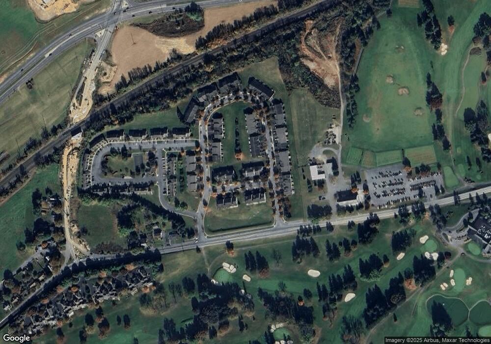
Map
Nearby Homes
- 25 Carousel Cir
- 35 Carousel Cir
- 308 E Derry Rd
- 324 E Areba Ave
- 229 Cocoa Ave
- 118 Elm Ave
- 124 Maple Ave
- 820 W Maple St
- 2115 Wexford Rd
- 310 W Caracas Ave
- 1003 Cambridge Ct
- 1953 Wexford Rd
- 406 W Caracas Ave
- 717 W Oak St
- 425 W Caracas Ave
- 1105 Cambridge Ct
- 510 W Maple St
- 520 W Caracas Ave
- 501 W Oak St
- 542 S Lingle Ave
- 729 Ferris Way
- 733 Ferris Way
- 719 Ferris Way
- 737 Ferris Way
- 715 Ferris Way
- 741 Ferris Way
- 711 Ferris Way
- 86 Carousel Cir
- 86 Carousel Cir Unit CIR
- 707 Ferris Way
- 84 Carousel Cir
- 724 Ferris Way
- 728 Ferris Way
- 8 Carousel Cir
- 732 Ferris Way
- 82 Carousel Cir
- 736 Ferris Way
- 10 Carousel Cir
- 720 Ferris Way
- 716 Ferris Way