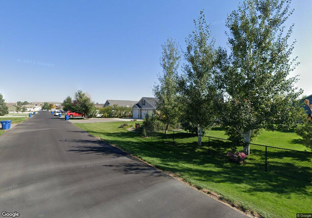
725 Kenya St Billings, MT 59106
Estimated Value: $462,138 - $488,000
3
Beds
2
Baths
1,926
Sq Ft
$247/Sq Ft
Est. Value
About This Home
This home is located at 725 Kenya St, Billings, MT 59106 and is currently estimated at $475,785, approximately $247 per square foot. 725 Kenya St is a home located in Yellowstone County with nearby schools including Elder Grove Elementary School, Billings West High School, and Yellowstone Academy.
Ownership History
Date
Name
Owned For
Owner Type
Purchase Details
Closed on
Aug 8, 2018
Sold by
Britton Levi J and Britton Barbara L
Bought by
Mccampbell Bruce A and Mccampbell Victoria A
Current Estimated Value
Purchase Details
Closed on
Jul 30, 2018
Sold by
Doornek Jess and Doornek Danelle
Bought by
Mccampbell Bruce A and Mccampbell Victoriya A
Purchase Details
Closed on
Jan 19, 2016
Sold by
Doornek Jess
Bought by
Doornek Jess and Doorneck Danelle
Purchase Details
Closed on
May 25, 2011
Sold by
Britton Levi J and Britton Barbara L
Bought by
Oneil John P and Oneil Cathy
Home Financials for this Owner
Home Financials are based on the most recent Mortgage that was taken out on this home.
Original Mortgage
$193,955
Interest Rate
4.5%
Mortgage Type
FHA
Create a Home Valuation Report for This Property
The Home Valuation Report is an in-depth analysis detailing your home's value as well as a comparison with similar homes in the area
Home Values in the Area
Average Home Value in this Area
Purchase History
| Date | Buyer | Sale Price | Title Company |
|---|---|---|---|
| Mccampbell Bruce A | -- | -- | |
| Mccampbell Bruce A | -- | -- | |
| Doornek Jess | -- | American Title & Escrow | |
| Doornek Jess | -- | None Available | |
| Oneil John P | -- | None Available |
Source: Public Records
Mortgage History
| Date | Status | Borrower | Loan Amount |
|---|---|---|---|
| Previous Owner | Oneil John P | $193,955 |
Source: Public Records
Tax History Compared to Growth
Tax History
| Year | Tax Paid | Tax Assessment Tax Assessment Total Assessment is a certain percentage of the fair market value that is determined by local assessors to be the total taxable value of land and additions on the property. | Land | Improvement |
|---|---|---|---|---|
| 2025 | $886 | $420,500 | $53,003 | $367,497 |
| 2024 | $886 | $384,400 | $54,880 | $329,520 |
| 2023 | $2,389 | $384,400 | $54,880 | $329,520 |
| 2022 | $2,472 | $279,100 | $0 | $0 |
| 2021 | $2,473 | $279,100 | $0 | $0 |
| 2020 | $2,460 | $252,300 | $0 | $0 |
| 2019 | $2,390 | $252,300 | $0 | $0 |
| 2018 | $2,259 | $238,000 | $0 | $0 |
| 2017 | $1,688 | $238,000 | $0 | $0 |
| 2016 | $1,653 | $238,300 | $0 | $0 |
| 2015 | $1,653 | $238,300 | $0 | $0 |
| 2014 | $1,419 | $106,848 | $0 | $0 |
Source: Public Records
Map
Nearby Homes
- 7920 Eland Ave
- 615 Kenya Ct
- 545 Pike Ct
- 7623 N Leopard Ave
- 7906 Monad Rd
- 7804 Monad Rd
- 7801 Monad Rd
- 8039 Wisner Ave
- 8129 Wisner Ave
- 243 S 80th St W
- 7824 Penta Cir
- 7805 Penta Cir
- 8428 Stillwater Dr
- 329 S Homewood Park Dr
- 8242 Wisner Ave
- 8542 Monad Rd
- 7202 White Pine Cir
- 7212 White Pine Cir
- 222 Zanes Cir
- TBD Central Avenue (Lot 7)