726 Bluestone Dr Stockton, CA 95206
Weston Ranch NeighborhoodEstimated Value: $501,000 - $582,000
5
Beds
3
Baths
2,383
Sq Ft
$226/Sq Ft
Est. Value
About This Home
This home is located at 726 Bluestone Dr, Stockton, CA 95206 and is currently estimated at $537,428, approximately $225 per square foot. 726 Bluestone Dr is a home with nearby schools including Great Valley Elementary School and Weston Ranch High School.
Ownership History
Date
Name
Owned For
Owner Type
Purchase Details
Closed on
Oct 27, 2020
Sold by
Lgi Homes California Llc
Bought by
Bass Kenneth E and Bass Eleshea Lorenzie
Current Estimated Value
Home Financials for this Owner
Home Financials are based on the most recent Mortgage that was taken out on this home.
Original Mortgage
$402,475
Outstanding Balance
$358,146
Interest Rate
2.8%
Mortgage Type
FHA
Estimated Equity
$179,282
Purchase Details
Closed on
Jan 11, 2019
Sold by
Trg Venture One Llc
Bought by
Lgi Homes California Llc
Create a Home Valuation Report for This Property
The Home Valuation Report is an in-depth analysis detailing your home's value as well as a comparison with similar homes in the area
Home Values in the Area
Average Home Value in this Area
Purchase History
| Date | Buyer | Sale Price | Title Company |
|---|---|---|---|
| Bass Kenneth E | $410,000 | First American Title Company | |
| Lgi Homes California Llc | $4,100,000 | First American Title Home Bu |
Source: Public Records
Mortgage History
| Date | Status | Borrower | Loan Amount |
|---|---|---|---|
| Open | Bass Kenneth E | $402,475 |
Source: Public Records
Tax History
| Year | Tax Paid | Tax Assessment Tax Assessment Total Assessment is a certain percentage of the fair market value that is determined by local assessors to be the total taxable value of land and additions on the property. | Land | Improvement |
|---|---|---|---|---|
| 2025 | $5,183 | $443,686 | $97,418 | $346,268 |
| 2024 | $5,043 | $434,987 | $95,508 | $339,479 |
| 2023 | $4,922 | $426,459 | $93,636 | $332,823 |
| 2022 | $4,852 | $418,098 | $91,800 | $326,298 |
| 2021 | $4,801 | $409,900 | $90,000 | $319,900 |
| 2020 | $637 | $41,820 | $41,820 | $0 |
| 2019 | $308 | $11,570 | $11,570 | $0 |
| 2018 | $306 | $11,344 | $11,344 | $0 |
| 2017 | $304 | $11,122 | $11,122 | $0 |
| 2016 | $301 | $10,904 | $10,904 | $0 |
| 2014 | $295 | $10,530 | $10,530 | $0 |
Source: Public Records
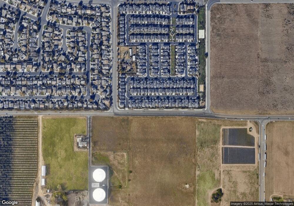
Map
Nearby Homes
- 654 Flagstone Dr
- 4150 Blake Cir
- 4162 Blake Cir
- 1151 Klemeyer Cir
- 1141 Klemeyer Cir
- 3812 Ramalho Ln Unit IN
- 3716 Steve Lillie Cir
- 3707 French Camp
- 707 Queensland Cir
- 4730 Haven Place
- 1644 Henry Long Blvd
- 3838 Odell Ave
- 1129 Brick and Tile Cir
- 1235 Lloyd Thayer Cir
- 2032 Black Rose Ln
- 3330 Konig Ct
- 4210 Pissarro Dr
- 1598 Kimiyo St
- 4555 S Mckinley Ave
- 1914 Picasso Way
- 720 Blue Stone Dr
- 732 Bluestone Dr
- 732 Blue Stone Dr
- 714 Bluestone Dr
- 738 Blue Stone Dr
- 738 Bluestone Dr
- 708 Bluestone Dr
- 744 Bluestone Dr
- 727 Bluestone Dr
- 721 Bluestone Dr
- 733 Blue Stone Dr
- 733 Bluestone Dr
- 715 Bluestone Dr
- 702 Bluestone Dr
- 760 Bluestone Dr
- 739 Blue Stone Dr
- 760 Blue Stone Dr
- 707 Blue Stone Dr
- 707 Bluestone Dr
- 664 Blue Stone Dr
Your Personal Tour Guide
Ask me questions while you tour the home.