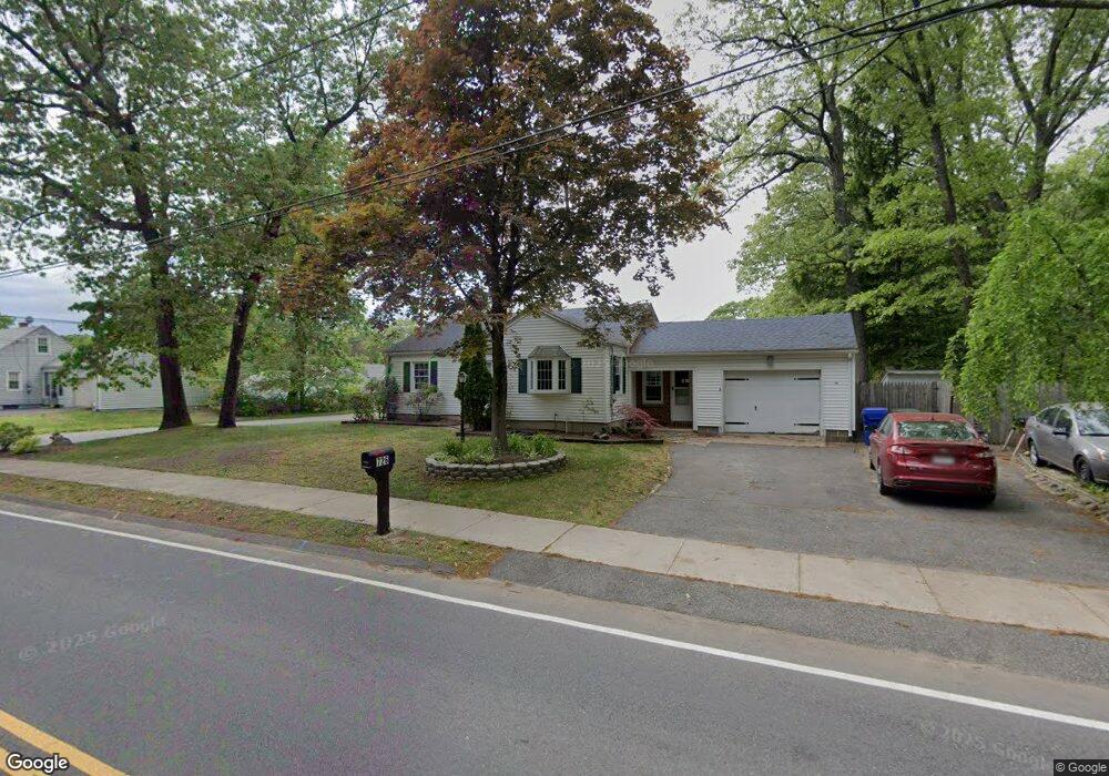
726 Grayson Dr Springfield, MA 01119
Pine Point NeighborhoodEstimated Value: $264,000 - $284,663
3
Beds
1
Bath
942
Sq Ft
$294/Sq Ft
Est. Value
About This Home
This home is located at 726 Grayson Dr, Springfield, MA 01119 and is currently estimated at $277,166, approximately $294 per square foot. 726 Grayson Dr is a home located in Hampden County with nearby schools including Glickman Elementary, John J Duggan Middle, and Springfield Central High School.
Ownership History
Date
Name
Owned For
Owner Type
Purchase Details
Closed on
Jun 11, 2018
Sold by
Mulligan Elizabeth H
Bought by
Belisle Danielle E
Current Estimated Value
Purchase Details
Closed on
Mar 30, 2007
Sold by
Corbert Richard A and Orsatti Daniel N
Bought by
Mulligan Eugene and Mulligan Elizabeth
Home Financials for this Owner
Home Financials are based on the most recent Mortgage that was taken out on this home.
Original Mortgage
$90,000
Interest Rate
6.33%
Mortgage Type
Purchase Money Mortgage
Create a Home Valuation Report for This Property
The Home Valuation Report is an in-depth analysis detailing your home's value as well as a comparison with similar homes in the area
Home Values in the Area
Average Home Value in this Area
Purchase History
| Date | Buyer | Sale Price | Title Company |
|---|---|---|---|
| Belisle Danielle E | -- | -- | |
| Mulligan Elizabeth H | -- | -- | |
| Mulligan Eugene | $135,000 | -- |
Source: Public Records
Mortgage History
| Date | Status | Borrower | Loan Amount |
|---|---|---|---|
| Previous Owner | Mulligan Eugene | $90,000 |
Source: Public Records
Tax History
| Year | Tax Paid | Tax Assessment Tax Assessment Total Assessment is a certain percentage of the fair market value that is determined by local assessors to be the total taxable value of land and additions on the property. | Land | Improvement |
|---|---|---|---|---|
| 2025 | $3,553 | $226,600 | $39,000 | $187,600 |
| 2024 | $3,286 | $204,600 | $39,000 | $165,600 |
| 2023 | $3,393 | $199,000 | $34,500 | $164,500 |
| 2022 | $3,369 | $179,000 | $32,300 | $146,700 |
| 2021 | $3,033 | $160,500 | $29,300 | $131,200 |
| 2020 | $2,982 | $152,700 | $29,300 | $123,400 |
| 2019 | $2,586 | $131,400 | $30,400 | $101,000 |
| 2018 | $2,452 | $124,600 | $30,400 | $94,200 |
| 2017 | $2,459 | $125,100 | $33,400 | $91,700 |
| 2016 | $2,428 | $123,500 | $33,400 | $90,100 |
| 2015 | $2,378 | $120,900 | $33,400 | $87,500 |
Source: Public Records
Map
Nearby Homes
- 130 Spear Rd
- 195 Almira Rd
- 854 Grayson Dr
- 187 Lamont St
- 106 Almira Rd
- 64 Wilmington St
- 251 Rosewell St
- - Glenwood St
- 543 Boston Rd
- 106-108 Breckwood Cir
- 34 Wallace St
- 39 Wallace St
- 56 Contessa Ln
- 63 Granger St
- 54 Seymour Ave
- 150 Seymour Ave
- 54 Bernard St
- 381 N Brook Rd
- 78 Massreco St
- 70 Shumway St Unit 29
Your Personal Tour Guide
Ask me questions while you tour the home.