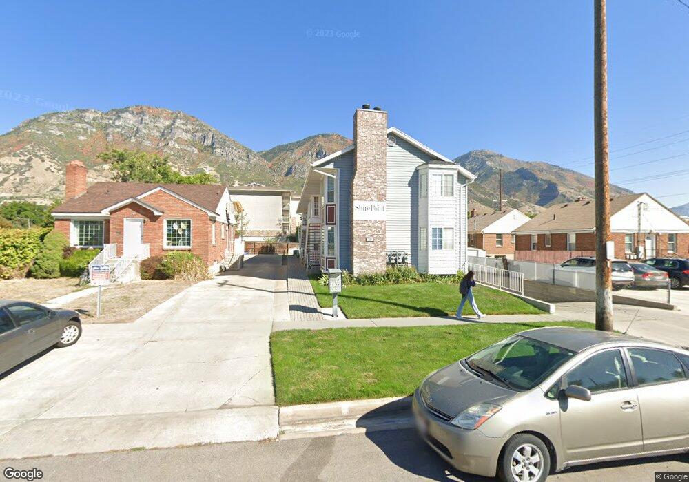
726 N 500 E Provo, UT 84606
Joaquin NeighborhoodEstimated Value: $291,000 - $323,535
2
Beds
2
Baths
751
Sq Ft
$407/Sq Ft
Est. Value
About This Home
This home is located at 726 N 500 E, Provo, UT 84606 and is currently estimated at $305,512, approximately $406 per square foot. 726 N 500 E is a home located in Utah County with nearby schools including Provo Peaks School, Centennial Middle School, and Timpview High School.
Ownership History
Date
Name
Owned For
Owner Type
Purchase Details
Closed on
Jul 25, 2013
Sold by
Hong Sam Y and Hong Ming Tzong
Bought by
Paxman James D and Paxman Valarie J
Current Estimated Value
Home Financials for this Owner
Home Financials are based on the most recent Mortgage that was taken out on this home.
Original Mortgage
$107,250
Outstanding Balance
$78,184
Interest Rate
3.98%
Mortgage Type
New Conventional
Estimated Equity
$227,328
Purchase Details
Closed on
Apr 14, 2006
Sold by
Takasaki Aimee Sachiko and Takasaki Roman Y
Bought by
Hong Sam Y and Hong Ming Tzong
Create a Home Valuation Report for This Property
The Home Valuation Report is an in-depth analysis detailing your home's value as well as a comparison with similar homes in the area
Home Values in the Area
Average Home Value in this Area
Purchase History
| Date | Buyer | Sale Price | Title Company |
|---|---|---|---|
| Paxman James D | -- | Sutherland Title | |
| Hong Sam Y | -- | Title West Title Company |
Source: Public Records
Mortgage History
| Date | Status | Borrower | Loan Amount |
|---|---|---|---|
| Open | Paxman James D | $107,250 |
Source: Public Records
Tax History
| Year | Tax Paid | Tax Assessment Tax Assessment Total Assessment is a certain percentage of the fair market value that is determined by local assessors to be the total taxable value of land and additions on the property. | Land | Improvement |
|---|---|---|---|---|
| 2025 | $1,685 | $167,530 | -- | -- |
| 2024 | $1,685 | $172,645 | $0 | $0 |
| 2023 | $1,571 | $152,405 | $0 | $0 |
| 2022 | $1,526 | $149,270 | $0 | $0 |
| 2021 | $1,283 | $218,900 | $26,300 | $192,600 |
| 2020 | $1,265 | $202,300 | $24,300 | $178,000 |
| 2019 | $1,101 | $183,100 | $21,000 | $162,100 |
| 2018 | $1,005 | $169,500 | $21,000 | $148,500 |
| 2017 | $916 | $84,920 | $0 | $0 |
| 2016 | $894 | $77,220 | $0 | $0 |
| 2015 | $850 | $74,250 | $0 | $0 |
| 2014 | $815 | $74,250 | $0 | $0 |
Source: Public Records
Map
Nearby Homes
- 655 E 600 N Unit 6
- 541 E 500 N Unit 12
- 611 N 700 E Unit 5
- 737 E 750 N Unit 1
- 487 N 400 E
- 785 E 560 N Unit 405
- 747 N 200 E Unit 1
- 364 N 500 E
- 433 N 300 E
- 466 N 200 E
- 907 E 820 N Unit 11
- 232 E 400 N
- 380 N 200 E
- 948 N 50 E Unit 301
- 986 N 900 E Unit 31
- 240 N 500 East St
- 232 E 300 N
- 36 W 700 N Unit 206
- 246 N 200 E
- 620 N 100 St W
Your Personal Tour Guide
Ask me questions while you tour the home.