Estimated Value: $451,938 - $481,000
3
Beds
2
Baths
1,490
Sq Ft
$313/Sq Ft
Est. Value
About This Home
This home is located at 72608 Highway 82, Elgin, OR 97827 and is currently estimated at $466,469, approximately $313 per square foot. 72608 Highway 82 is a home located in Union County with nearby schools including Stella Mayfield Elementary School and Elgin High School.
Ownership History
Date
Name
Owned For
Owner Type
Purchase Details
Closed on
Apr 2, 2013
Sold by
Parsons Richard L
Bought by
Parsons Ronald Lee and Parsons Janice E
Current Estimated Value
Home Financials for this Owner
Home Financials are based on the most recent Mortgage that was taken out on this home.
Original Mortgage
$25,000
Outstanding Balance
$15,168
Interest Rate
3.54%
Mortgage Type
Credit Line Revolving
Estimated Equity
$451,301
Create a Home Valuation Report for This Property
The Home Valuation Report is an in-depth analysis detailing your home's value as well as a comparison with similar homes in the area
Home Values in the Area
Average Home Value in this Area
Purchase History
| Date | Buyer | Sale Price | Title Company |
|---|---|---|---|
| Parsons Ronald Lee | -- | None Available |
Source: Public Records
Mortgage History
| Date | Status | Borrower | Loan Amount |
|---|---|---|---|
| Open | Parsons Ronald Lee | $25,000 | |
| Open | Parsons Ronald Lee | $116,000 |
Source: Public Records
Tax History Compared to Growth
Tax History
| Year | Tax Paid | Tax Assessment Tax Assessment Total Assessment is a certain percentage of the fair market value that is determined by local assessors to be the total taxable value of land and additions on the property. | Land | Improvement |
|---|---|---|---|---|
| 2025 | $1,846 | $166,588 | $6,148 | $160,440 |
| 2024 | $1,793 | $161,840 | $6,070 | $155,770 |
| 2023 | $1,743 | $157,260 | $6,020 | $151,240 |
| 2022 | $1,693 | $152,807 | $5,977 | $146,830 |
| 2021 | $1,653 | $149,167 | $6,613 | $142,554 |
| 2020 | $1,606 | $144,960 | $6,558 | $138,402 |
| 2019 | $1,561 | $140,874 | $6,503 | $134,371 |
| 2018 | $1,517 | $136,908 | $6,450 | $130,458 |
| 2017 | $1,474 | $133,057 | $6,398 | $126,659 |
| 2016 | $1,433 | $129,320 | $6,350 | $122,970 |
| 2015 | $1,339 | $125,689 | $6,300 | $119,389 |
| 2014 | $1,339 | $122,166 | $6,254 | $115,912 |
| 2013 | $1,302 | $118,745 | $6,209 | $112,536 |
Source: Public Records
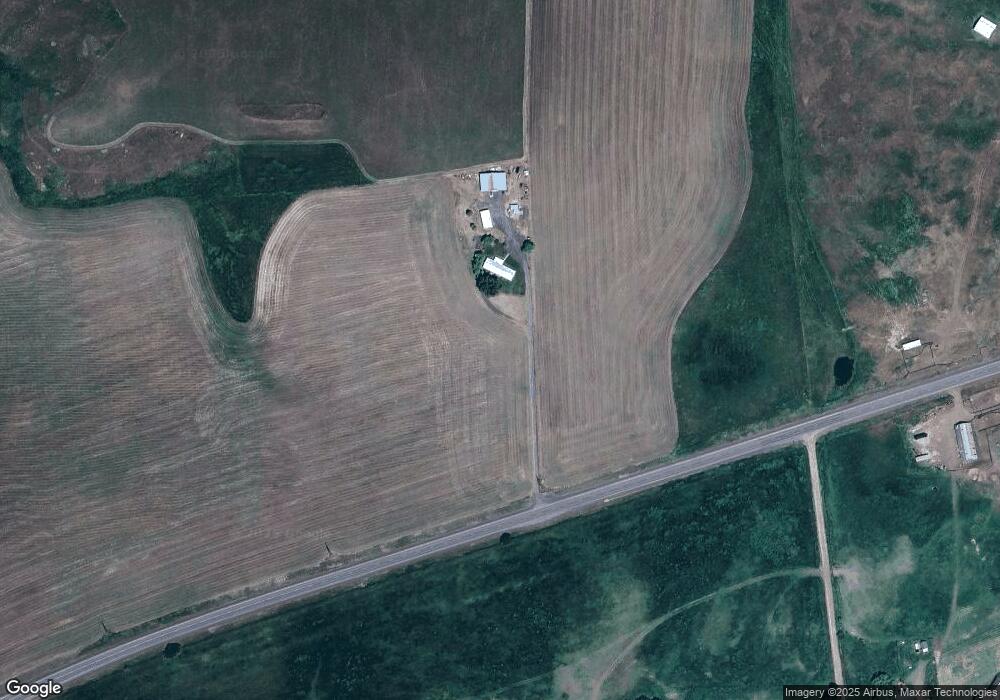
Map
Nearby Homes
- 265 N 4th Ave
- 71564 Palmer Junction Rd
- 625 Baltimore St
- 340 S 6th Ave
- 1135 Detroit St
- 260 N 13th Ave
- 1290 Baltimore St
- 505 N 16th Ave
- 265 N 14th Ave
- 1601 Carolyn Terrace Unit 9
- 70775 Middle Rd
- 150 S 15th Ave
- 95 S 17th Ave
- 0000 Oregon 204
- TBD Oregon 204
- 1951 Alder St
- 0 Hindman Rd Unit 175201047
- Ranch
- 71168 Valley View Rd
- 73210 Kingsbury Ln