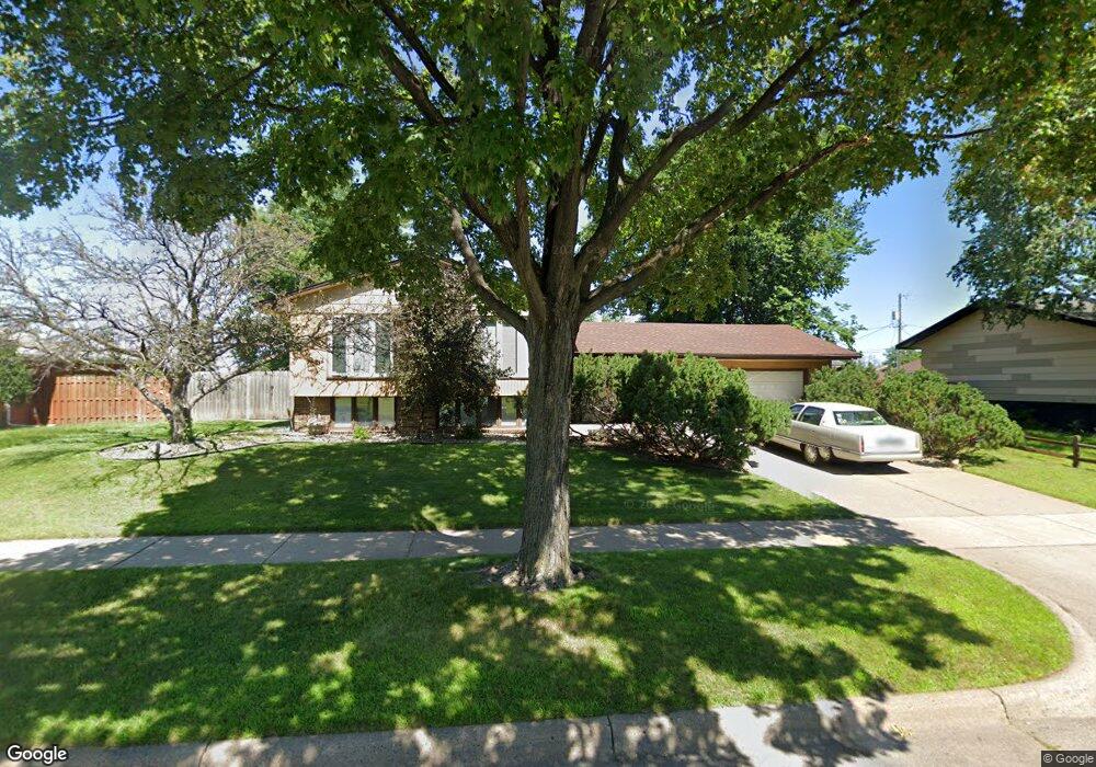
727 Carroll Ave Saint Paul, MN 55104
Summit-University NeighborhoodEstimated Value: $322,000 - $336,000
3
Beds
3
Baths
654
Sq Ft
$503/Sq Ft
Est. Value
About This Home
This home is located at 727 Carroll Ave, Saint Paul, MN 55104 and is currently estimated at $328,919, approximately $502 per square foot. 727 Carroll Ave is a home located in Ramsey County with nearby schools including Maxfield Magnet Elementary School, Hidden River Middle School, and Central Senior High School.
Ownership History
Date
Name
Owned For
Owner Type
Purchase Details
Closed on
Mar 2, 2017
Sold by
Lovejoy Margaret A
Bought by
Susanne Marie Lovejoy Revocable Trust
Current Estimated Value
Purchase Details
Closed on
Apr 7, 2015
Sold by
Richman Yolanda J and Richman Ira
Bought by
Freeze Marie L
Purchase Details
Closed on
Mar 24, 2015
Sold by
Freeze Richard Allen and Freeze Ricky Allen
Bought by
Freeze Marie L
Purchase Details
Closed on
Sep 20, 1999
Sold by
Rawlings Orean
Bought by
Black Joseph S
Create a Home Valuation Report for This Property
The Home Valuation Report is an in-depth analysis detailing your home's value as well as a comparison with similar homes in the area
Home Values in the Area
Average Home Value in this Area
Purchase History
| Date | Buyer | Sale Price | Title Company |
|---|---|---|---|
| Susanne Marie Lovejoy Revocable Trust | -- | None Available | |
| Freeze Marie L | $66,906 | Attorney | |
| Freeze Marie L | $67,915 | None Available | |
| Black Joseph S | $130,000 | -- |
Source: Public Records
Tax History Compared to Growth
Tax History
| Year | Tax Paid | Tax Assessment Tax Assessment Total Assessment is a certain percentage of the fair market value that is determined by local assessors to be the total taxable value of land and additions on the property. | Land | Improvement |
|---|---|---|---|---|
| 2025 | $4,858 | $336,100 | $59,700 | $276,400 |
| 2023 | $4,858 | $319,100 | $59,700 | $259,400 |
| 2022 | $3,730 | $319,800 | $59,700 | $260,100 |
| 2021 | $4,192 | $241,600 | $59,700 | $181,900 |
| 2020 | $4,732 | $277,600 | $59,700 | $217,900 |
| 2019 | $3,938 | $289,600 | $59,700 | $229,900 |
| 2018 | $3,104 | $242,900 | $59,700 | $183,200 |
| 2017 | $2,976 | $202,400 | $59,700 | $142,700 |
| 2016 | $2,604 | $0 | $0 | $0 |
| 2015 | $2,728 | $174,600 | $47,800 | $126,800 |
| 2014 | $2,778 | $0 | $0 | $0 |
Source: Public Records
Map
Nearby Homes
- 298 Avon St N
- 287 Avon St N
- 797 Iglehart Ave
- 663 Iglehart Ave
- 786 Iglehart Ave
- 291 Fisk St
- 681 Dayton Ave
- 853 Iglehart Ave
- 861 Saint Anthony Ave
- 652 Dayton Ave
- 783 Hague Ave
- 742 Hague Ave
- 909 Marshall Ave
- 818 Sherburne Ave
- 915 Fuller Ave
- 838 Sherburne Ave
- 639 Sherburne Ave
- 723 Charles Ave
- 697 Charles Ave
- 679 Charles Ave
- 717 Carroll Ave
- 733 Carroll Ave
- 722 Concordia Ave
- 718 Concordia Ave
- 709 Carroll Ave
- 732 Concordia Ave
- 701 Carroll Ave
- 702 Concordia Ave
- 295 Grotto St N
- 695 Carroll Ave
- 752 Carroll Ave
- 694 Concordia Ave
- 283 Grotto St N
- 756 Carroll Ave
- 745 Iglehart Ave
- 687 Carroll Ave
- 325 Saint Albans St N
- 764 Carroll Ave
- 722 Iglehart Ave
- 732 Iglehart Ave