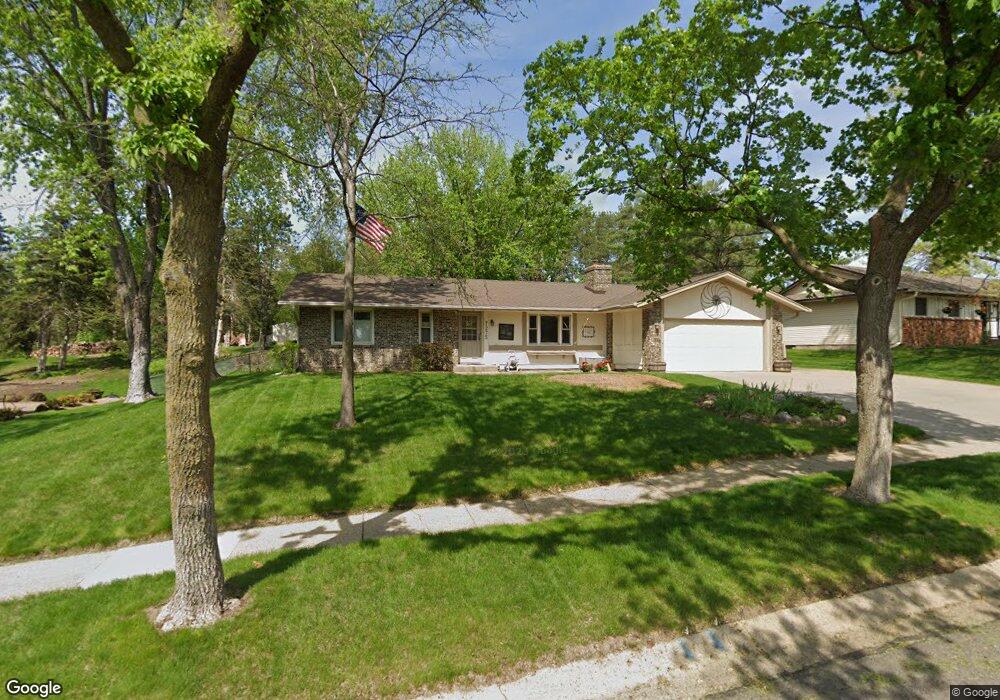
7275 142nd St W Saint Paul, MN 55124
Scott Highlands NeighborhoodEstimated Value: $403,410 - $434,000
3
Beds
3
Baths
1,410
Sq Ft
$298/Sq Ft
Est. Value
About This Home
This home is located at 7275 142nd St W, Saint Paul, MN 55124 and is currently estimated at $419,603, approximately $297 per square foot. 7275 142nd St W is a home located in Dakota County with nearby schools including Greenleaf Elementary School, Falcon Ridge Middle School, and Apple Valley Senior High School.
Ownership History
Date
Name
Owned For
Owner Type
Purchase Details
Closed on
Sep 26, 2003
Sold by
Tentis Leslie M and Johnson Craig M
Bought by
Lynch Joann and Lynch Samuel E
Current Estimated Value
Purchase Details
Closed on
Mar 29, 2000
Sold by
Livingston Jeffrey M and Livingston Sharon A
Bought by
Johnson Craig M and Tentis Leslie M
Create a Home Valuation Report for This Property
The Home Valuation Report is an in-depth analysis detailing your home's value as well as a comparison with similar homes in the area
Home Values in the Area
Average Home Value in this Area
Purchase History
| Date | Buyer | Sale Price | Title Company |
|---|---|---|---|
| Lynch Joann | $240,000 | -- | |
| Johnson Craig M | $163,200 | -- |
Source: Public Records
Tax History Compared to Growth
Tax History
| Year | Tax Paid | Tax Assessment Tax Assessment Total Assessment is a certain percentage of the fair market value that is determined by local assessors to be the total taxable value of land and additions on the property. | Land | Improvement |
|---|---|---|---|---|
| 2024 | $4,336 | $384,400 | $87,100 | $297,300 |
| 2023 | $4,336 | $384,000 | $87,300 | $296,700 |
| 2022 | $3,510 | $368,900 | $87,000 | $281,900 |
| 2021 | $3,364 | $308,300 | $77,100 | $231,200 |
| 2020 | $3,392 | $290,300 | $73,500 | $216,800 |
| 2019 | $3,023 | $284,400 | $70,000 | $214,400 |
| 2018 | $2,892 | $266,900 | $66,600 | $200,300 |
| 2017 | $2,805 | $246,300 | $63,500 | $182,800 |
| 2016 | $2,796 | $228,600 | $60,400 | $168,200 |
| 2015 | $2,408 | $208,555 | $54,844 | $153,711 |
| 2014 | -- | $180,106 | $51,575 | $128,531 |
| 2013 | -- | $170,296 | $47,225 | $123,071 |
Source: Public Records
Map
Nearby Homes
- 7342 Upper 139th St W
- 7662 142nd St W
- 14461 Freesia Way
- 14242 Glencove Trail
- 13868 Glendale Ct
- 13720 Georgia Dr
- 7291 Upper 136th St W
- 14620 Garrett Ave Unit 310
- 7577 138th St W
- 13715 Grafton Ct
- 14217 Footbridge Way
- 13954 Flagstaff Ct
- 14080 Guthrie Ave
- 13947 Fleetwood Ave
- 14057 Flintwood Ct
- 13660 Gurney Path
- 13780 Hanover Way
- 13358 Foliage Ave
- 13420 Gull Ct
- 13902 Herald Way
- 7289 142nd St W
- 7255 142nd St W
- 7225 142nd St W
- 7299 142nd St W
- 14177 Garrett Ave
- 14217 Genesee Ave
- 14187 Garrett Ave
- 7260 142nd St W
- 14165 Garrett Ave
- 14199 Garrett Ave
- 14160 Germane Ave
- 7310 142nd St W
- 14159 Garrett Ave
- 7234 142nd St W
- 14180 Germane Ave
- 14239 Genesee Ave
- 14250 Genesee Ave
- 7220 142nd St W
- 14148 Germane Ave
- 14149 Garrett Ave