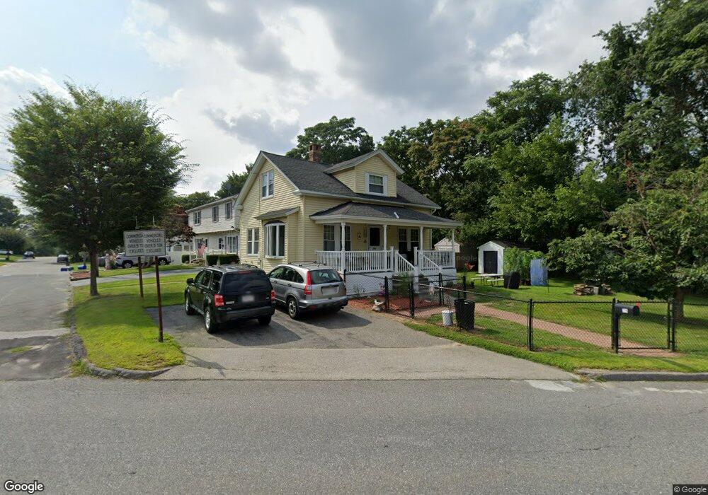
728 Burncoat St Worcester, MA 01606
Burncoat NeighborhoodEstimated Value: $292,000 - $381,499
3
Beds
1
Bath
1,102
Sq Ft
$322/Sq Ft
Est. Value
About This Home
This home is located at 728 Burncoat St, Worcester, MA 01606 and is currently estimated at $355,375, approximately $322 per square foot. 728 Burncoat St is a home located in Worcester County with nearby schools including Norrback Avenue Elementary School, Jacob Hiatt Magnet School, and Chandler Magnet.
Ownership History
Date
Name
Owned For
Owner Type
Purchase Details
Closed on
Apr 22, 1997
Sold by
William Ziaja Rt and Flowers Grant
Bought by
Hiser Andrew A and Hiser Cindy L
Current Estimated Value
Purchase Details
Closed on
Dec 18, 1996
Sold by
Carmody Patrick M and Ge Capital Mtg Service
Bought by
Fhlmc
Create a Home Valuation Report for This Property
The Home Valuation Report is an in-depth analysis detailing your home's value as well as a comparison with similar homes in the area
Home Values in the Area
Average Home Value in this Area
Purchase History
| Date | Buyer | Sale Price | Title Company |
|---|---|---|---|
| Hiser Andrew A | $72,000 | -- | |
| William Ziaja Rt | $55,750 | -- | |
| Fhlmc | $71,400 | -- |
Source: Public Records
Mortgage History
| Date | Status | Borrower | Loan Amount |
|---|---|---|---|
| Open | Fhlmc | $105,868 | |
| Closed | Fhlmc | $9,000 |
Source: Public Records
Tax History Compared to Growth
Tax History
| Year | Tax Paid | Tax Assessment Tax Assessment Total Assessment is a certain percentage of the fair market value that is determined by local assessors to be the total taxable value of land and additions on the property. | Land | Improvement |
|---|---|---|---|---|
| 2025 | $4,095 | $310,500 | $117,600 | $192,900 |
| 2024 | $3,960 | $288,000 | $117,600 | $170,400 |
| 2023 | $3,776 | $263,300 | $102,200 | $161,100 |
| 2022 | $3,445 | $226,500 | $81,800 | $144,700 |
| 2021 | $3,245 | $199,300 | $65,400 | $133,900 |
| 2020 | $3,118 | $183,400 | $65,400 | $118,000 |
| 2019 | $2,990 | $166,100 | $58,800 | $107,300 |
| 2018 | $2,999 | $158,600 | $58,800 | $99,800 |
| 2017 | $2,871 | $149,400 | $58,800 | $90,600 |
| 2016 | $2,766 | $134,200 | $42,800 | $91,400 |
| 2015 | $2,693 | $134,200 | $42,800 | $91,400 |
| 2014 | $2,622 | $134,200 | $42,800 | $91,400 |
Source: Public Records
Map
Nearby Homes
- 740 Burncoat St Unit B
- 10 Beale St
- 12 Birchbrush Ln
- 48 Whispering Pine Cir Unit 48
- 32 Whispering Pine Cir Unit 32
- 156 Hillside Village Dr
- 71 Hillside Village Dr
- 1110 W Boylston St Unit A
- 33 Isleboro St
- 15 Cumberland St
- 1 Highland Ave
- 7 Alpine Dr
- 31 Danielles Way
- 22 Danielles Way
- 26 Danielles Way
- 49 E Mountain St
- 87 Malden St
- 38 Juniper Ln
- 35 Arbutus Rd
- 93 Winfield Rd