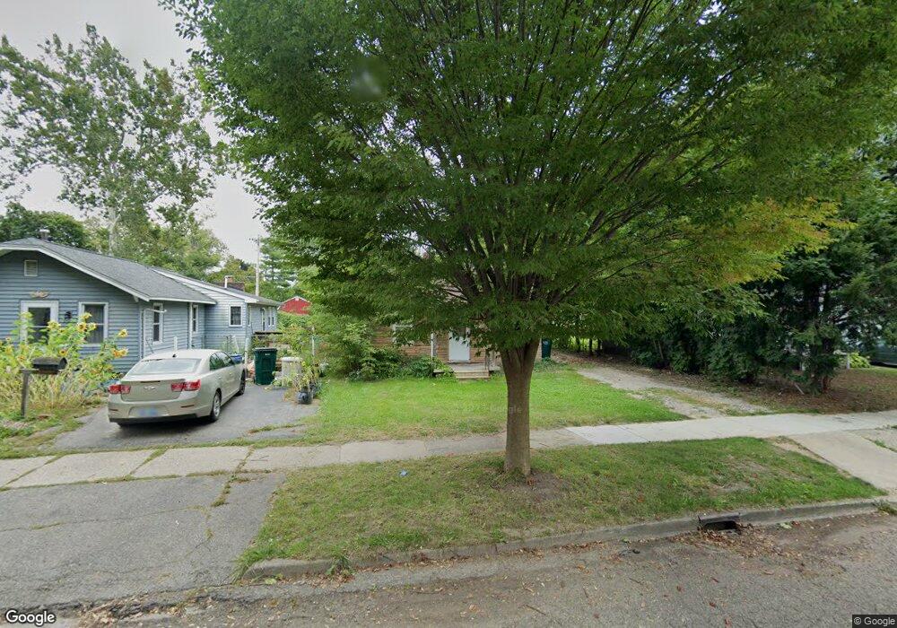
728 Fenton St Lansing, MI 48910
Old Everett NeighborhoodEstimated Value: $74,610 - $109,000
2
Beds
1
Bath
562
Sq Ft
$162/Sq Ft
Est. Value
About This Home
This home is located at 728 Fenton St, Lansing, MI 48910 and is currently estimated at $90,903, approximately $161 per square foot. 728 Fenton St is a home located in Ingham County with nearby schools including Kendon School, Attwood School, and Everett High School.
Ownership History
Date
Name
Owned For
Owner Type
Purchase Details
Closed on
Sep 6, 2011
Sold by
Purpose Property Group Llc
Bought by
Phillips Matt
Current Estimated Value
Purchase Details
Closed on
Feb 10, 2005
Sold by
Sanderson James E and Sanderson Mary E
Bought by
Purpose Property Group Llc
Purchase Details
Closed on
Jan 8, 2002
Sold by
Dickerson Pamela and Marietta Pamela
Bought by
Sanderson James E and Sanderson Mary E
Purchase Details
Closed on
Aug 31, 1999
Sold by
Marietta Joyce
Bought by
Marietta Pamela
Create a Home Valuation Report for This Property
The Home Valuation Report is an in-depth analysis detailing your home's value as well as a comparison with similar homes in the area
Home Values in the Area
Average Home Value in this Area
Purchase History
| Date | Buyer | Sale Price | Title Company |
|---|---|---|---|
| Phillips Matt | $15,000 | None Available | |
| Purpose Property Group Llc | $45,000 | -- | |
| Sanderson James E | $9,000 | -- | |
| Marietta Pamela | -- | -- |
Source: Public Records
Tax History Compared to Growth
Tax History
| Year | Tax Paid | Tax Assessment Tax Assessment Total Assessment is a certain percentage of the fair market value that is determined by local assessors to be the total taxable value of land and additions on the property. | Land | Improvement |
|---|---|---|---|---|
| 2025 | $1,618 | $31,500 | $6,100 | $25,400 |
| 2024 | $13 | $27,900 | $6,100 | $21,800 |
| 2023 | $1,525 | $25,400 | $6,100 | $19,300 |
| 2022 | $1,396 | $22,700 | $5,900 | $16,800 |
| 2021 | $1,364 | $21,000 | $3,600 | $17,400 |
| 2020 | $1,912 | $19,700 | $3,600 | $16,100 |
| 2019 | $1,305 | $17,700 | $3,600 | $14,100 |
| 2018 | $1,240 | $16,400 | $3,600 | $12,800 |
| 2017 | $1,192 | $16,400 | $3,600 | $12,800 |
| 2016 | $1,145 | $15,700 | $3,600 | $12,100 |
| 2015 | $1,145 | $15,100 | $7,294 | $7,806 |
| 2014 | $1,145 | $14,600 | $5,363 | $9,237 |
Source: Public Records
Map
Nearby Homes
- 736 Fenton St
- 709 Jessop Ave
- 713 E Cavanaugh Rd
- 629 Emily Ave
- 600 E Cavanaugh Rd
- 3725 Parkway Dr
- 3716 S Pennsylvania Ave
- 522 E Cavanaugh Rd
- 3603 Parkway Dr
- 3611 Homewood Ave
- 4317 S Cedar St
- 4412 Devonshire Ave
- 4719 S Pennsylvania Ave
- 3805 Donald St
- 4922 Southgate Ave
- 100 Fenton St
- 3801 Stabler St
- 111 E Potter Ave
- 4022 Stabler St
- 3216 Ellen Ave