Estimated Value: $152,605 - $314,000
Studio
2
Baths
2,080
Sq Ft
$99/Sq Ft
Est. Value
About This Home
This home is located at 728 Price Rd, Dixie, GA 31629 and is currently estimated at $204,901, approximately $98 per square foot. 728 Price Rd is a home located in Brooks County with nearby schools including Quitman Elementary School and Westbrook School.
Ownership History
Date
Name
Owned For
Owner Type
Purchase Details
Closed on
Jan 8, 2003
Sold by
Baunoch Ii Marlin A
Bought by
Baunoch Ii Marlin A and Baunoch Paula L
Current Estimated Value
Purchase Details
Closed on
Mar 16, 1999
Sold by
Corrective
Bought by
Baunoch Ii Marlin A
Purchase Details
Closed on
Mar 29, 1993
Sold by
Williams James F
Bought by
Baunoch Ii Marlin A
Purchase Details
Closed on
Jan 18, 1991
Sold by
Williams Thelma D
Bought by
Williams James F
Purchase Details
Closed on
Dec 31, 1986
Sold by
Emminger Ronald L
Bought by
Williams Thelma D
Purchase Details
Closed on
Sep 30, 1985
Sold by
Turner Mavis L
Bought by
Emminger Ronald L
Create a Home Valuation Report for This Property
The Home Valuation Report is an in-depth analysis detailing your home's value as well as a comparison with similar homes in the area
Purchase History
| Date | Buyer | Sale Price | Title Company |
|---|---|---|---|
| Baunoch Ii Marlin A | -- | -- | |
| Baunoch Ii Marlin A | -- | -- | |
| Baunoch Ii Marlin A | $37,000 | -- | |
| Williams James F | -- | -- | |
| Williams Thelma D | -- | -- | |
| Emminger Ronald L | -- | -- |
Source: Public Records
Tax History
| Year | Tax Paid | Tax Assessment Tax Assessment Total Assessment is a certain percentage of the fair market value that is determined by local assessors to be the total taxable value of land and additions on the property. | Land | Improvement |
|---|---|---|---|---|
| 2025 | $1,589 | $50,780 | $2,720 | $48,060 |
| 2024 | $1,589 | $50,780 | $2,720 | $48,060 |
| 2023 | $941 | $43,340 | $2,360 | $40,980 |
| 2022 | $1,224 | $33,420 | $2,240 | $31,180 |
| 2021 | $1,127 | $31,460 | $2,200 | $29,260 |
| 2020 | $874 | $31,460 | $2,200 | $29,260 |
| 2019 | $1,079 | $30,980 | $2,560 | $28,420 |
| 2018 | $920 | $31,500 | $2,560 | $28,940 |
| 2017 | $1,041 | $30,460 | $2,560 | $27,900 |
| 2016 | $1,088 | $30,940 | $2,560 | $28,380 |
| 2015 | -- | $31,140 | $2,560 | $28,580 |
| 2014 | -- | $32,100 | $2,560 | $29,540 |
| 2013 | -- | $32,100 | $2,560 | $29,540 |
Source: Public Records
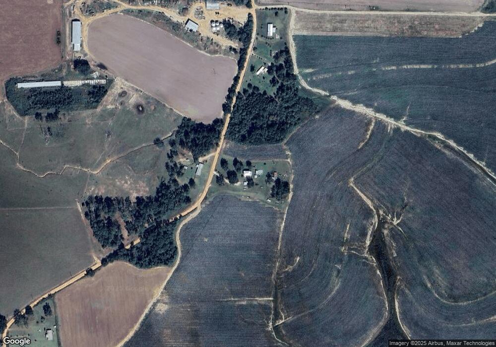
Map
Nearby Homes
- 431 Dry Lake Rd
- 9900 Ozell Rd
- 5199 U S 84
- 800 Clifford St
- 682 Salem Rd
- 7402 Coffee Rd
- 536 N Leaphart St
- 1038-BA Church St
- Dixie Rd
- 2156 County Road 78
- 611 Bn S Main St
- 612-BN W Railroad Ave
- 146 Old Highway 84 W
- 4311 Ozell Rd
- 7921 Five Forks Rd
- 804 Westlake Dr
- 309 Eastlake Dr
- 1001 W Bartow St
- 901 W Boundary St
- 813 Vonier Rd
- 898 Price Rd
- 388 Price Rd
- 491 Pat Ln
- 4773 Dixie Barwick Rd
- 1355 Price Rd
- 1402 Price Rd
- 3011 Dixie Barwick Rd
- 1454 Carter Rd
- 2818 Dry Lake Rd
- 4080 Dixie Barwick Rd
- 2818 Dry Lake Rd
- 00 Hutchinson Rd
- 885 Hutchinson Rd
- 105 Hutchinson Rd
- 15 Christian Dr
- 3917 Dixie Barwick Rd
- 82.51 Ac Dixie Rd
- 2968 Dry Lake Rd
- 2972 Dry Lake Rd
- 2819 Dry Lake Rd
Your Personal Tour Guide
Ask me questions while you tour the home.