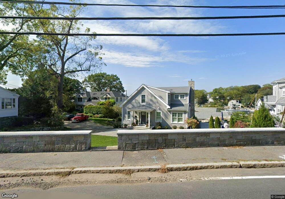
728 Washington St Unit B Gloucester, MA 01930
Estimated Value: $486,000 - $1,697,000
2
Beds
1
Bath
905
Sq Ft
$1,330/Sq Ft
Est. Value
About This Home
This home is located at 728 Washington St Unit B, Gloucester, MA 01930 and is currently estimated at $1,203,807, approximately $1,330 per square foot. 728 Washington St Unit B is a home located in Essex County with nearby schools including Plum Cove School, Ralph B O'maley Middle School, and Gloucester High School.
Ownership History
Date
Name
Owned For
Owner Type
Purchase Details
Closed on
Oct 1, 2009
Sold by
Steinbach J Peter and Steinbach Rita
Bought by
Gold Harry
Current Estimated Value
Purchase Details
Closed on
Apr 8, 1997
Sold by
Donohue Michael B and Donohue Josephine R
Bought by
Steinbach Peter J and Steinbach Rita
Purchase Details
Closed on
Sep 23, 1991
Sold by
Intl Terminal Oper
Bought by
Donohue Michael B
Create a Home Valuation Report for This Property
The Home Valuation Report is an in-depth analysis detailing your home's value as well as a comparison with similar homes in the area
Purchase History
| Date | Buyer | Sale Price | Title Company |
|---|---|---|---|
| Gold Harry | $530,000 | -- | |
| Gold Harry | $530,000 | -- | |
| Steinbach Peter J | $175,000 | -- | |
| Steinbach Peter J | $175,000 | -- | |
| Donohue Michael B | $150,000 | -- | |
| Donohue Michael B | $150,000 | -- |
Source: Public Records
Mortgage History
| Date | Status | Borrower | Loan Amount |
|---|---|---|---|
| Closed | Donohue Michael B | $0 |
Source: Public Records
Tax History
| Year | Tax Paid | Tax Assessment Tax Assessment Total Assessment is a certain percentage of the fair market value that is determined by local assessors to be the total taxable value of land and additions on the property. | Land | Improvement |
|---|---|---|---|---|
| 2025 | $13,859 | $1,425,800 | $0 | $1,425,800 |
| 2024 | $12,994 | $1,335,500 | $0 | $1,335,500 |
| 2023 | $12,455 | $1,176,100 | $0 | $1,176,100 |
| 2022 | $12,487 | $1,064,500 | $0 | $1,064,500 |
| 2021 | $12,449 | $1,000,700 | $0 | $1,000,700 |
| 2020 | $12,339 | $1,000,700 | $0 | $1,000,700 |
| 2019 | $12,483 | $983,700 | $0 | $983,700 |
| 2018 | $11,770 | $910,300 | $0 | $910,300 |
| 2017 | $11,114 | $842,600 | $0 | $842,600 |
| 2016 | $10,545 | $774,800 | $0 | $774,800 |
| 2015 | $2,430 | $178,000 | $0 | $178,000 |
Source: Public Records
Map
Nearby Homes
- 672 Washington St
- 2 Breezy Point Rd
- 226 Atlantic St
- 7 Colburn St
- 178 Atlantic St
- 167 Atlantic St
- 3 Deacon Farm Ln
- 13 Honeysuckle Rd
- 31 Echo Ave
- 43 High St Unit B
- 10 Emerald St
- 13 Mystic Ave
- 8 Mystic Ave
- 27 Hodgkins Rd
- 6 Monroe Ct
- 98 Maplewood Ave
- 9 Cleveland Place
- 40 Sargent St
- 19 Trask St Unit 2
- 177 Main St
- 728 Washington St Unit 3
- 728 Washington St Unit 2
- 728 Washington St Unit 1
- 728C Washington St Unit C
- 728 Washington St
- 728 Washington St Unit A
- 726R Washington St
- 726 Washington St
- 730R Washington St
- 732 Washington St
- 729 Washington St
- 732R Washington St
- 723 Washington St
- 730 Washington St
- 4 Butternut Ln
- 734 Washington St
- 731 Washington St
- 722 Washington St
- 711 Washington St
- 9 Butternut Ln
Your Personal Tour Guide
Ask me questions while you tour the home.