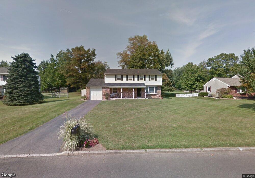
73 Deerpath Rd Southampton, PA 18966
Estimated Value: $621,291 - $728,000
4
Beds
3
Baths
2,401
Sq Ft
$278/Sq Ft
Est. Value
About This Home
This home is located at 73 Deerpath Rd, Southampton, PA 18966 and is currently estimated at $666,823, approximately $277 per square foot. 73 Deerpath Rd is a home located in Bucks County with nearby schools including Maureen M. Welch Elementary School, Richboro Middle School, and Council Rock High School - South.
Ownership History
Date
Name
Owned For
Owner Type
Purchase Details
Closed on
Jan 20, 2016
Sold by
Romani Philip A and Romani Laurie A
Bought by
Romani Laurie A
Current Estimated Value
Home Financials for this Owner
Home Financials are based on the most recent Mortgage that was taken out on this home.
Original Mortgage
$255,000
Outstanding Balance
$156,555
Interest Rate
3.97%
Mortgage Type
New Conventional
Estimated Equity
$510,268
Purchase Details
Closed on
Jan 14, 2005
Sold by
Chantler Ethel L
Bought by
Romani Philip A and Romani Laurie A
Home Financials for this Owner
Home Financials are based on the most recent Mortgage that was taken out on this home.
Original Mortgage
$288,000
Interest Rate
5.66%
Mortgage Type
Fannie Mae Freddie Mac
Purchase Details
Closed on
Jul 8, 1968
Bought by
Chantler Edwin R and Chantler Ethel L
Create a Home Valuation Report for This Property
The Home Valuation Report is an in-depth analysis detailing your home's value as well as a comparison with similar homes in the area
Home Values in the Area
Average Home Value in this Area
Purchase History
| Date | Buyer | Sale Price | Title Company |
|---|---|---|---|
| Romani Laurie A | -- | None Available | |
| Romani Philip A | $365,000 | -- | |
| Chantler Edwin R | -- | -- |
Source: Public Records
Mortgage History
| Date | Status | Borrower | Loan Amount |
|---|---|---|---|
| Open | Romani Laurie A | $255,000 | |
| Previous Owner | Romani Philip A | $288,000 |
Source: Public Records
Tax History Compared to Growth
Tax History
| Year | Tax Paid | Tax Assessment Tax Assessment Total Assessment is a certain percentage of the fair market value that is determined by local assessors to be the total taxable value of land and additions on the property. | Land | Improvement |
|---|---|---|---|---|
| 2025 | $5,855 | $30,400 | $5,560 | $24,840 |
| 2024 | $5,855 | $30,400 | $5,560 | $24,840 |
| 2023 | $5,518 | $30,400 | $5,560 | $24,840 |
| 2022 | $5,468 | $30,400 | $5,560 | $24,840 |
| 2021 | $5,295 | $30,400 | $5,560 | $24,840 |
| 2020 | $5,176 | $30,400 | $5,560 | $24,840 |
| 2019 | $4,954 | $30,400 | $5,560 | $24,840 |
| 2018 | $4,866 | $30,400 | $5,560 | $24,840 |
| 2017 | $4,678 | $30,400 | $5,560 | $24,840 |
| 2016 | $4,678 | $30,400 | $5,560 | $24,840 |
| 2015 | -- | $30,400 | $5,560 | $24,840 |
| 2014 | -- | $30,400 | $5,560 | $24,840 |
Source: Public Records
Map
Nearby Homes
- 65 Deerpath Rd
- 89 Deerpath Rd
- 57 Deerpath Rd
- 72 Deerpath Rd
- 80 Deerpath Rd
- 64 Deerpath Rd
- 170 Frog Hollow Rd
- 56 Deerpath Rd
- 162 Frog Hollow Rd
- 88 Deerpath Rd
- 154 Frog Hollow Rd
- 49 Deerpath Rd
- 178 Frog Hollow Rd
- 146 Frog Hollow Rd
- 97 Deerpath Rd
- 96 Deerpath Rd
- 138 Frog Hollow Rd
- 190 Frog Hollow Rd
- 41 Deerpath Rd
- 106 Deerpath Rd