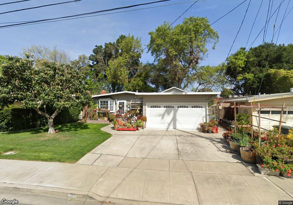
73 Lorelei Ln Menlo Park, CA 94025
Flood Park NeighborhoodEstimated Value: $1,976,648 - $2,155,000
3
Beds
2
Baths
1,340
Sq Ft
$1,542/Sq Ft
Est. Value
About This Home
This home is located at 73 Lorelei Ln, Menlo Park, CA 94025 and is currently estimated at $2,066,162, approximately $1,541 per square foot. 73 Lorelei Ln is a home located in San Mateo County with nearby schools including Encinal Elementary School, Hillview Middle School, and Menlo-Atherton High School.
Ownership History
Date
Name
Owned For
Owner Type
Purchase Details
Closed on
Jul 6, 2022
Sold by
Tung Anthony and Tung Tina
Bought by
Tung Living Trust and Tung
Current Estimated Value
Purchase Details
Closed on
Jun 2, 1994
Sold by
Elfers Robert C
Bought by
Tung Anthony and Tung Tina
Home Financials for this Owner
Home Financials are based on the most recent Mortgage that was taken out on this home.
Original Mortgage
$208,000
Interest Rate
8.53%
Create a Home Valuation Report for This Property
The Home Valuation Report is an in-depth analysis detailing your home's value as well as a comparison with similar homes in the area
Home Values in the Area
Average Home Value in this Area
Purchase History
| Date | Buyer | Sale Price | Title Company |
|---|---|---|---|
| Tung Living Trust | -- | Chung Christina | |
| Tung Anthony | $260,000 | First American Title Ins Co |
Source: Public Records
Mortgage History
| Date | Status | Borrower | Loan Amount |
|---|---|---|---|
| Previous Owner | Tung Anthony | $208,000 |
Source: Public Records
Tax History Compared to Growth
Tax History
| Year | Tax Paid | Tax Assessment Tax Assessment Total Assessment is a certain percentage of the fair market value that is determined by local assessors to be the total taxable value of land and additions on the property. | Land | Improvement |
|---|---|---|---|---|
| 2025 | $6,120 | $441,896 | $220,948 | $220,948 |
| 2023 | $6,120 | $424,738 | $212,369 | $212,369 |
| 2022 | $5,823 | $416,410 | $208,205 | $208,205 |
| 2021 | $5,735 | $408,246 | $204,123 | $204,123 |
| 2020 | $5,687 | $404,060 | $202,030 | $202,030 |
| 2019 | $5,581 | $396,138 | $198,069 | $198,069 |
| 2018 | $5,424 | $388,372 | $194,186 | $194,186 |
| 2017 | $5,310 | $380,758 | $190,379 | $190,379 |
| 2016 | $6,047 | $373,294 | $186,647 | $186,647 |
| 2015 | $5,936 | $367,688 | $183,844 | $183,844 |
| 2014 | $5,778 | $360,486 | $180,243 | $180,243 |
Source: Public Records
Map
Nearby Homes
- 911 Peggy Ln
- 60 Callie Ln
- 1031 Timothy Ln
- 183 Hedge Rd
- 3760 Hoover St
- 22 Wayne Ct
- 1155 17th Ave
- 856 15th Ave
- 824 Fourteenth Ave
- 55 Irving Ave
- 4 Athlone Way
- 3519 Hoover St
- 3464 Michael Dr
- 3820 Fair Oaks Ave
- 811 10th Ave
- 3499 E Bayshore Rd Unit 13
- 3499 E Bayshore Rd Unit 22
- 3499 E Bayshore Rd Unit 86
- 1053 Ringwood Ave
- 1080 8th Ave