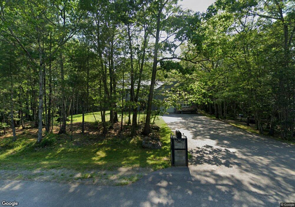
73 Misty Way Glenburn, ME 04401
Estimated Value: $321,309 - $434,000
--
Bed
--
Bath
--
Sq Ft
1.36
Acres
About This Home
This home is located at 73 Misty Way, Glenburn, ME 04401 and is currently estimated at $385,577. 73 Misty Way is a home located in Penobscot County with nearby schools including Glenburn Elementary School, Orono Middle School, and Orono High School.
Ownership History
Date
Name
Owned For
Owner Type
Purchase Details
Closed on
Apr 8, 2019
Sold by
Perkins Randy M
Bought by
Gary Kristy and Perkins Randy M
Current Estimated Value
Home Financials for this Owner
Home Financials are based on the most recent Mortgage that was taken out on this home.
Original Mortgage
$164,400
Outstanding Balance
$144,537
Interest Rate
4.3%
Mortgage Type
Stand Alone Refi Refinance Of Original Loan
Estimated Equity
$241,040
Purchase Details
Closed on
Mar 28, 2019
Sold by
Perkins Heather A
Bought by
Perkins Randy M
Home Financials for this Owner
Home Financials are based on the most recent Mortgage that was taken out on this home.
Original Mortgage
$164,400
Outstanding Balance
$144,537
Interest Rate
4.3%
Mortgage Type
Stand Alone Refi Refinance Of Original Loan
Estimated Equity
$241,040
Create a Home Valuation Report for This Property
The Home Valuation Report is an in-depth analysis detailing your home's value as well as a comparison with similar homes in the area
Home Values in the Area
Average Home Value in this Area
Purchase History
| Date | Buyer | Sale Price | Title Company |
|---|---|---|---|
| Gary Kristy | -- | -- | |
| Gary Kristy | -- | -- | |
| Perkins Randy M | -- | -- | |
| Perkins Randy M | -- | -- |
Source: Public Records
Mortgage History
| Date | Status | Borrower | Loan Amount |
|---|---|---|---|
| Open | Gary Kristy | $164,400 | |
| Closed | Gary Kristy | $164,400 |
Source: Public Records
Tax History Compared to Growth
Tax History
| Year | Tax Paid | Tax Assessment Tax Assessment Total Assessment is a certain percentage of the fair market value that is determined by local assessors to be the total taxable value of land and additions on the property. | Land | Improvement |
|---|---|---|---|---|
| 2024 | $3,626 | $262,760 | $42,650 | $220,110 |
| 2023 | $3,652 | $262,760 | $42,650 | $220,110 |
| 2022 | $3,671 | $219,170 | $35,540 | $183,630 |
| 2021 | $3,954 | $219,660 | $35,540 | $184,120 |
| 2020 | $3,989 | $219,170 | $35,540 | $183,630 |
| 2019 | $4,000 | $219,170 | $35,540 | $183,630 |
| 2018 | $4,648 | $251,270 | $35,540 | $215,730 |
| 2017 | $4,249 | $200,440 | $24,640 | $175,800 |
| 2016 | $4,048 | $200,400 | $24,600 | $175,800 |
| 2015 | $3,938 | $200,400 | $24,600 | $175,800 |
| 2014 | $3,727 | $200,400 | $24,600 | $175,800 |
| 2012 | $3,863 | $201,700 | $25,900 | $175,800 |
Source: Public Records
Map
Nearby Homes
- 137 Aa Landing Rd
- 0 Gould Rd
- 953 Pushaw Rd
- 29 Kelliher St
- 10 Kelliher St
- 818 Forest Ave
- 549 Hudson Rd
- 29 Merritt Dr
- 879 Hudson Rd
- 83 Orono Landing Rd
- 336 Lakeview Rd
- 348 Lakeview Rd
- 365 Walden Parke Way
- 183 Skyline Rd
- 1883 Essex St
- 2317&2327 Broadway
- 35-46 Woodland Ave
- 160 Lancaster Brook Rd
- 2541 Union (00 Union) St
- 175 (#12) Hornbeam Way