73 Stanford Rd Dellrose, TN 38453
Estimated Value: $417,000 - $697,178
--
Bed
2
Baths
2,131
Sq Ft
$265/Sq Ft
Est. Value
About This Home
This home is located at 73 Stanford Rd, Dellrose, TN 38453 and is currently estimated at $565,393, approximately $265 per square foot. 73 Stanford Rd is a home located in Lincoln County with nearby schools including Unity School, Lincoln Central Academy, and Lincoln County High School.
Ownership History
Date
Name
Owned For
Owner Type
Purchase Details
Closed on
May 9, 2024
Sold by
Mitchell Roger Lynn
Bought by
Mitchell Roger Lynn and Mitchell Brian Travis
Current Estimated Value
Purchase Details
Closed on
Feb 17, 1984
Bought by
Mitchell Roger L
Purchase Details
Closed on
Dec 16, 1981
Create a Home Valuation Report for This Property
The Home Valuation Report is an in-depth analysis detailing your home's value as well as a comparison with similar homes in the area
Home Values in the Area
Average Home Value in this Area
Purchase History
| Date | Buyer | Sale Price | Title Company |
|---|---|---|---|
| Mitchell Roger Lynn | $616,716 | None Listed On Document | |
| Mitchell Roger Lynn | $616,716 | None Listed On Document | |
| Mitchell Roger L | -- | -- | |
| Mitchell Roger L | -- | -- | |
| -- | -- | -- | |
| -- | -- | -- |
Source: Public Records
Tax History Compared to Growth
Tax History
| Year | Tax Paid | Tax Assessment Tax Assessment Total Assessment is a certain percentage of the fair market value that is determined by local assessors to be the total taxable value of land and additions on the property. | Land | Improvement |
|---|---|---|---|---|
| 2024 | $1,785 | $93,950 | $26,975 | $66,975 |
| 2023 | $1,312 | $62,400 | $17,725 | $44,675 |
| 2022 | $1,312 | $62,400 | $17,725 | $44,675 |
| 2021 | $1,312 | $62,400 | $17,725 | $44,675 |
| 2020 | $1,312 | $62,400 | $17,725 | $44,675 |
| 2019 | $1,124 | $62,400 | $17,725 | $44,675 |
| 2018 | $1,156 | $46,625 | $13,825 | $32,800 |
| 2017 | $1,091 | $46,625 | $13,825 | $32,800 |
| 2016 | $1,091 | $46,625 | $13,825 | $32,800 |
| 2015 | -- | $46,625 | $13,825 | $32,800 |
| 2014 | $936 | $47,750 | $13,825 | $33,925 |
Source: Public Records
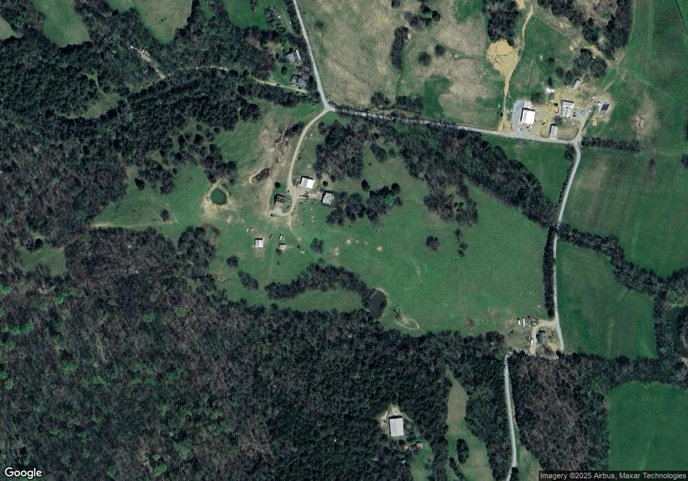
Map
Nearby Homes
- 0 McBurg Dellrose Rd Unit LotWP001 24895992
- 0 McBurg Dellrose Rd Unit LotWP001 24895993
- 0 McBurg Dellrose Rd Unit LotWP001
- 0 McBurg Dellrose Rd Tract 1
- 0 McBurg Dellrose Rd Tract 2
- 0 McBurg Dellrose Rd Tract 3
- 305 Ingram Rd
- 1143 Old Elkton Pike
- 6 Short Creek Rd
- 6956 Bunker Hill Rd
- 468 Adams Rd
- 0 Robinson Rd
- 2979 Indian Creek Rd
- 0 U S Highway 64
- 9 Old Stage Rd
- 5 Old Stage Rd
- 05 Old Stage Rd
- 195 Curtis Rd
- 195 Curtis Dr
- 477 Lake Logan Rd
- 71 Stanford Rd
- 131 Stanford Rd
- 94 Stanford Rd
- 16 Giles Stevenson Rd
- 38 Giles Stevenson Rd
- 409 McBurg Dellrose Rd
- 165 Stanford Rd
- 389 McBurg Dellrose Rd
- 0 Vanzant Rd
- 0 Vanzant Rd Unit RTC2206336
- 0 Vanzant Rd Unit RTC2617575
- 0 Vanzant Rd Unit RTC1989350
- 0 Vanzant Rd Unit 1156998
- 1 Vanzant Rd
- 1800 Bee Spring Rd
- 357 McBurg Dellrose Rd
- 2507 Mitchell Rd
- 0 Bee Springs S D
- 0 Bee Spring Rd
- 0 Bee Spring Rd Unit 1030026