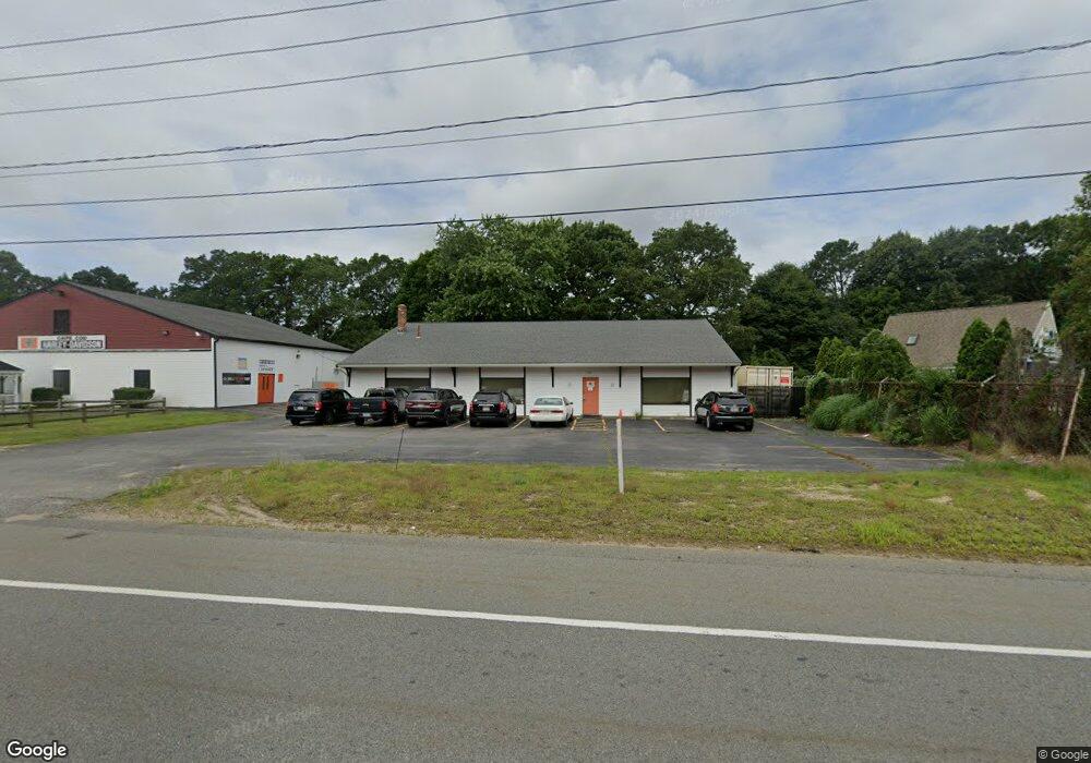
730 Macarthur Blvd Pocasset, MA 2559
Pocasset Neighborhood
Studio
--
Bath
4,320
Sq Ft
13,983
Sq Ft Lot
About This Home
This home is located at 730 Macarthur Blvd, Pocasset, MA 2559. 730 Macarthur Blvd is a home located in Barnstable County with nearby schools including Bourne High School, Cadence Academy Preschool - Bourne, and St Margaret Regional School.
Ownership History
Date
Name
Owned For
Owner Type
Purchase Details
Closed on
Apr 4, 2006
Sold by
Wcm Rt and Mikolajczyk
Bought by
Circle O Llc
Home Financials for this Owner
Home Financials are based on the most recent Mortgage that was taken out on this home.
Original Mortgage
$1,600,000
Outstanding Balance
$907,127
Interest Rate
6.32%
Mortgage Type
Commercial
Purchase Details
Closed on
Aug 10, 1993
Sold by
The Double R&J Rlty and Harmon Jem S
Bought by
Wcm Rt and Mikolajczak Walter C
Create a Home Valuation Report for This Property
The Home Valuation Report is an in-depth analysis detailing your home's value as well as a comparison with similar homes in the area
Home Values in the Area
Average Home Value in this Area
Purchase History
| Date | Buyer | Sale Price | Title Company |
|---|---|---|---|
| Circle O Llc | $1,000,000 | -- | |
| Circle O Llc | $1,000,000 | -- | |
| Wcm Rt | $120,000 | -- |
Source: Public Records
Mortgage History
| Date | Status | Borrower | Loan Amount |
|---|---|---|---|
| Open | Circle O Llc | $1,600,000 | |
| Closed | Wcm Rt | $1,600,000 |
Source: Public Records
Tax History
| Year | Tax Paid | Tax Assessment Tax Assessment Total Assessment is a certain percentage of the fair market value that is determined by local assessors to be the total taxable value of land and additions on the property. | Land | Improvement |
|---|---|---|---|---|
| 2025 | $4,504 | $576,700 | $371,000 | $205,700 |
| 2024 | $4,426 | $551,900 | $353,300 | $198,600 |
| 2023 | $4,509 | $511,800 | $339,700 | $172,100 |
| 2022 | $4,781 | $473,800 | $319,400 | $154,400 |
| 2021 | $4,949 | $459,500 | $310,100 | $149,400 |
| 2020 | $4,864 | $452,900 | $304,000 | $148,900 |
| 2019 | $4,646 | $442,100 | $298,100 | $144,000 |
| 2018 | $4,143 | $393,100 | $286,600 | $106,500 |
| 2017 | $4,004 | $388,700 | $283,700 | $105,000 |
| 2016 | $3,966 | $390,400 | $283,700 | $106,700 |
| 2015 | $3,931 | $390,400 | $283,700 | $106,700 |
Source: Public Records
Map
Nearby Homes
- 7 4th Ave
- 3 4th Ave
- 3 1st St
- 709 County Rd
- 16 Michael Rd
- 254 Barlows Landing Rd
- 48 Red Brook Harbor Rd
- 1234 Route 28a
- 1234 Route 28a
- 20 Colony Ave
- 14 Navajo Rd
- 566 Shore Rd
- 4 Harbor Hill Dr
- 15 Oak Ave
- 16 Amberwood Ct
- 31 Baxendale Rd
- 12 Turnberry Rd Unit 12
- 203 County Rd
- 75 Winsor Rd
- 4 Hollyhock Knoll Ct Unit 4
Your Personal Tour Guide
Ask me questions while you tour the home.