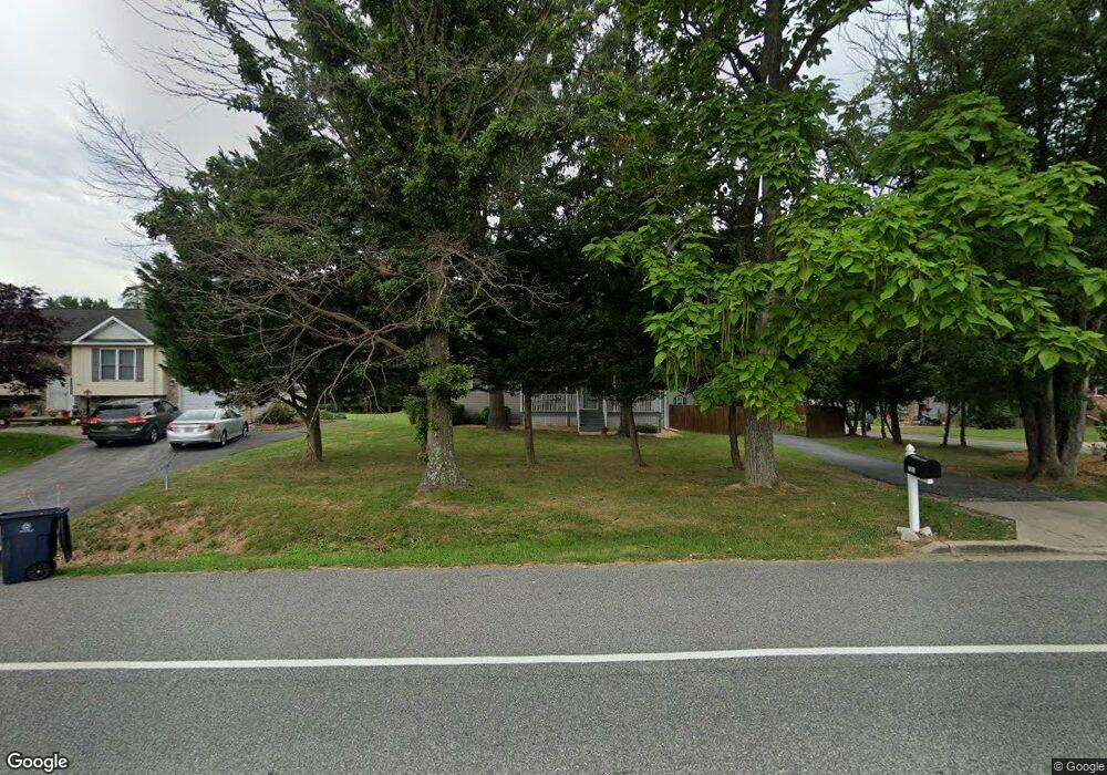
7301 Brooklyn Bridge Rd Laurel, MD 20707
West Laurel NeighborhoodEstimated Value: $438,000 - $522,000
Studio
1
Bath
1,281
Sq Ft
$376/Sq Ft
Est. Value
About This Home
This home is located at 7301 Brooklyn Bridge Rd, Laurel, MD 20707 and is currently estimated at $481,112, approximately $375 per square foot. 7301 Brooklyn Bridge Rd is a home located in Prince George's County with nearby schools including Bond Mill Elementary, Martin Luther King Jr. Middle School, and Laurel High School.
Ownership History
Date
Name
Owned For
Owner Type
Purchase Details
Closed on
Dec 4, 2020
Sold by
Gourley Garner Russell and Gourley Johanna Shawnee
Bought by
Miller Scott Anthony
Current Estimated Value
Home Financials for this Owner
Home Financials are based on the most recent Mortgage that was taken out on this home.
Original Mortgage
$400,000
Interest Rate
2.71%
Mortgage Type
VA
Purchase Details
Closed on
Feb 21, 2008
Sold by
Quill David M
Bought by
Gourley Johana S and Gourley Garner R
Purchase Details
Closed on
Nov 12, 1985
Sold by
Talkington Russell
Bought by
Quill David M
Create a Home Valuation Report for This Property
The Home Valuation Report is an in-depth analysis detailing your home's value as well as a comparison with similar homes in the area
Home Values in the Area
Average Home Value in this Area
Purchase History
| Date | Buyer | Sale Price | Title Company |
|---|---|---|---|
| Miller Scott Anthony | $400,000 | Charter Title Llc | |
| Gourley Johana S | $201,000 | -- | |
| Quill David M | $60,000 | -- |
Source: Public Records
Mortgage History
| Date | Status | Borrower | Loan Amount |
|---|---|---|---|
| Previous Owner | Miller Scott Anthony | $400,000 |
Source: Public Records
Tax History Compared to Growth
Tax History
| Year | Tax Paid | Tax Assessment Tax Assessment Total Assessment is a certain percentage of the fair market value that is determined by local assessors to be the total taxable value of land and additions on the property. | Land | Improvement |
|---|---|---|---|---|
| 2025 | $5,356 | $381,000 | $122,700 | $258,300 |
| 2024 | $5,356 | $333,600 | -- | -- |
| 2023 | $4,651 | $286,200 | $0 | $0 |
| 2022 | $3,946 | $238,800 | $77,700 | $161,100 |
| 2021 | $3,891 | $235,067 | $0 | $0 |
| 2020 | $7,131 | $231,333 | $0 | $0 |
| 2019 | $3,259 | $227,600 | $76,300 | $151,300 |
| 2018 | $3,190 | $214,667 | $0 | $0 |
| 2017 | $3,203 | $201,733 | $0 | $0 |
| 2016 | -- | $188,800 | $0 | $0 |
| 2015 | $585 | $188,800 | $0 | $0 |
| 2014 | $585 | $188,800 | $0 | $0 |
Source: Public Records
Map
Nearby Homes
- 7209 Brooklyn Bridge Rd
- 7106 Donston Dr
- 16140 Kenny Rd
- 7018 Redmiles Rd
- 7019 Redmiles Rd
- 7019 Fitzpatrick Dr
- 7616 Woodbine Dr
- 15708 Dorset Rd Unit 203
- 15708 Dorset Rd Unit 304
- 15708 Dorset Rd Unit 202
- 7004 Fitzpatrick Dr
- 16035 Dorset Rd
- 7709 Brooklyn Bridge Rd
- 15743 Millbrook Ln
- 15603 Dorset Rd Unit 101
- 15781 Haynes Rd
- 6918 Scotch Dr
- 6304 Forest Mill Ln
- 8040 Sandy Spring Rd
- 211 Patuxent Rd
- 7305 Brooklyn Bridge Rd
- 16207 Cannfield Dr
- 16210 Cannfield Dr
- 16208 Cannfield Dr
- 7307 Brooklyn Bridge Rd
- 16206 Cannfield Dr
- 7211 Brooklyn Bridge Rd Unit 36675566
- 7211 Brooklyn Bridge Rd Unit 36675535
- 7211 Brooklyn Bridge Rd Unit 36675509
- 7211 Brooklyn Bridge Rd Unit 36675492
- 7211 Brooklyn Bridge Rd Unit 36675474
- 7211 Brooklyn Bridge Rd Unit 36675441
- 16205 Cannfield Dr
- 16203 Cannfield Dr
- 7400 Brooklyn Bridge Rd
- 16202 Cannfield Dr
- 7207 Brooklyn Bridge Rd
- 7311 Brooklyn Bridge Rd
- 16201 Cannfield Dr
- 7110 Donston Dr