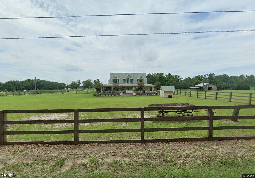
7301 T C Whittington Rd Moss Point, MS 39562
Estimated Value: $174,000 - $294,000
--
Bed
1
Bath
960
Sq Ft
$232/Sq Ft
Est. Value
About This Home
This home is located at 7301 T C Whittington Rd, Moss Point, MS 39562 and is currently estimated at $222,252, approximately $231 per square foot. 7301 T C Whittington Rd is a home located in Jackson County with nearby schools including East Central Lower Elementary School, East Central Upper Elementary School, and East Central Middle School.
Ownership History
Date
Name
Owned For
Owner Type
Purchase Details
Closed on
Apr 10, 2025
Sold by
Brister Travis and Brister Travis Wayne
Bought by
Greer William N and Greer Glenda L
Current Estimated Value
Create a Home Valuation Report for This Property
The Home Valuation Report is an in-depth analysis detailing your home's value as well as a comparison with similar homes in the area
Home Values in the Area
Average Home Value in this Area
Purchase History
| Date | Buyer | Sale Price | Title Company |
|---|---|---|---|
| Greer William N | -- | Island Winds Title | |
| Greer William N | -- | Island Winds Title |
Source: Public Records
Tax History Compared to Growth
Tax History
| Year | Tax Paid | Tax Assessment Tax Assessment Total Assessment is a certain percentage of the fair market value that is determined by local assessors to be the total taxable value of land and additions on the property. | Land | Improvement |
|---|---|---|---|---|
| 2024 | $894 | $9,944 | $2,484 | $7,460 |
| 2023 | $894 | $9,944 | $2,484 | $7,460 |
| 2022 | $860 | $9,944 | $2,484 | $7,460 |
| 2021 | $865 | $9,989 | $2,484 | $7,505 |
| 2020 | $849 | $9,509 | $2,300 | $7,209 |
| 2019 | $836 | $9,509 | $2,300 | $7,209 |
| 2018 | $858 | $9,509 | $2,300 | $7,209 |
| 2017 | $933 | $9,954 | $2,300 | $7,654 |
| 2016 | $884 | $9,954 | $2,300 | $7,654 |
| 2015 | $815 | $93,200 | $23,000 | $70,200 |
| 2014 | $811 | $9,454 | $2,300 | $7,154 |
| 2013 | $866 | $10,264 | $2,300 | $7,964 |
Source: Public Records
Map
Nearby Homes
- 0 R B Dickerson Rd
- 7605 Methodist Church Rd
- 27 Acres Brinkman Rd E
- 8200 Butler Rd
- 17500 Goff Farm Rd
- 18517 Goff Farm Rd
- 01 Dap Rd E
- 0 Dap Rd E
- -0- Rayford Shumock Rd
- 0 Rayford Shumock Rd Unit 24406728
- 0 Rayford Shumock Rd Unit 4121875
- 0 Ms-613 Hwy Unit 4116583
- 0 Ms-613 Hwy Unit 4107607
- 0 Ms-613 Hwy Unit 4107612
- 0 Ms-613 Hwy Unit 4116582
- 0 Ms-613 Hwy Unit 4131540
- 7805 Songbird Ln
- 0 Big Point Unit 4125782
- 14416 Lily Orchard Rd
- 8537 Augusta Rd
- 7301 T C Whittington Rd
- 7290 T C Whittington Rd
- 7300 T C Whittington Rd
- 7416 T C Whittington Rd
- 7408 T C Whittington Rd
- 7317 Townsite Rd
- 0 Townsite
- 17221 Highway 613
- 7231 Cemetery Rd
- 7405 Townsite Rd
- 7405 Townsite Rd
- 7001 Cemetary Rd
- 17029 Highway 613
- 7231 Cemetary Rd
- 17301 Highway 613
- 7516 R B Dickerson Rd
- 17112 Mississippi 613
- 17116 Highway 613
- 17112 Highway 613
- 17120 Highway 613