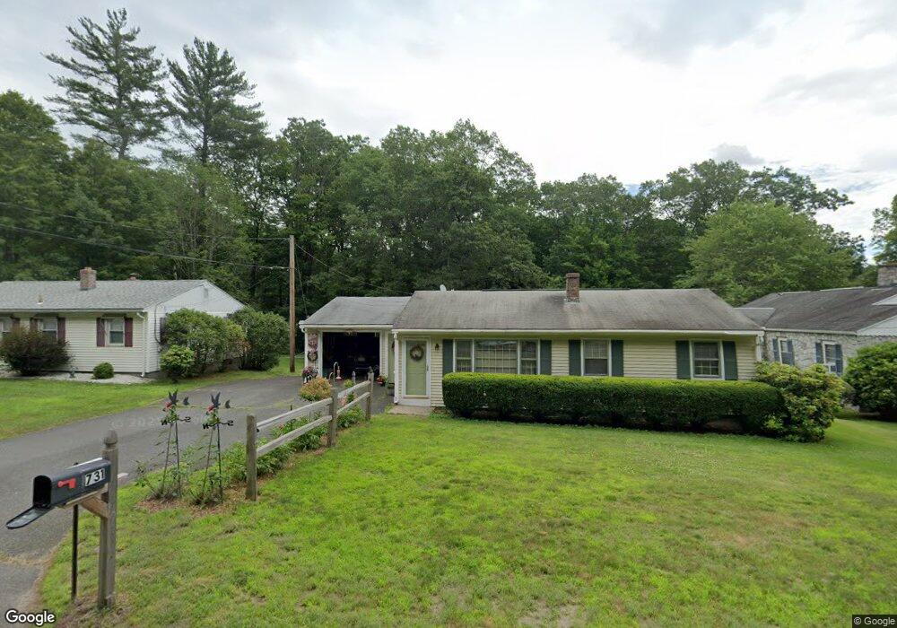
731 Bernardston Rd Greenfield, MA 01301
Estimated Value: $297,000 - $357,069
2
Beds
1
Bath
940
Sq Ft
$344/Sq Ft
Est. Value
About This Home
This home is located at 731 Bernardston Rd, Greenfield, MA 01301 and is currently estimated at $323,517, approximately $344 per square foot. 731 Bernardston Rd is a home located in Franklin County with nearby schools including Greenfield Center School, Cornerstone Christian School, and Holy Trinity School.
Ownership History
Date
Name
Owned For
Owner Type
Purchase Details
Closed on
Jan 20, 2009
Sold by
Snow Ernest R and Snow Janet M
Bought by
Snow Tr Ernest R and Snow Janet M
Current Estimated Value
Purchase Details
Closed on
Jun 28, 1996
Sold by
Townsley Michael E and Townsley Susan J
Bought by
Snow Ernest R and Snow Janet M
Home Financials for this Owner
Home Financials are based on the most recent Mortgage that was taken out on this home.
Original Mortgage
$75,000
Interest Rate
8.05%
Mortgage Type
Purchase Money Mortgage
Purchase Details
Closed on
Dec 21, 1989
Sold by
Tounsley Richard W
Bought by
Tounsley Michael C
Create a Home Valuation Report for This Property
The Home Valuation Report is an in-depth analysis detailing your home's value as well as a comparison with similar homes in the area
Home Values in the Area
Average Home Value in this Area
Purchase History
| Date | Buyer | Sale Price | Title Company |
|---|---|---|---|
| Snow Tr Ernest R | -- | -- | |
| Snow Tr Ernest R | -- | -- | |
| Snow Ernest R | $97,000 | -- | |
| Snow Ernest R | $97,000 | -- | |
| Tounsley Michael C | $105,000 | -- | |
| Tounsley Michael C | $105,000 | -- |
Source: Public Records
Mortgage History
| Date | Status | Borrower | Loan Amount |
|---|---|---|---|
| Previous Owner | Tounsley Michael C | $75,000 | |
| Previous Owner | Tounsley Michael C | $68,000 |
Source: Public Records
Tax History Compared to Growth
Tax History
| Year | Tax Paid | Tax Assessment Tax Assessment Total Assessment is a certain percentage of the fair market value that is determined by local assessors to be the total taxable value of land and additions on the property. | Land | Improvement |
|---|---|---|---|---|
| 2025 | $5,326 | $272,300 | $89,800 | $182,500 |
| 2024 | $5,358 | $262,800 | $81,500 | $181,300 |
| 2023 | $4,867 | $247,700 | $81,500 | $166,200 |
| 2022 | $4,785 | $214,400 | $77,600 | $136,800 |
| 2021 | $4,651 | $200,300 | $75,400 | $124,900 |
| 2020 | $4,336 | $189,100 | $75,400 | $113,700 |
| 2019 | $4,011 | $179,400 | $65,700 | $113,700 |
| 2018 | $3,939 | $175,600 | $64,200 | $111,400 |
| 2017 | $3,816 | $175,600 | $64,200 | $111,400 |
| 2016 | $3,791 | $173,800 | $63,100 | $110,700 |
| 2015 | $3,728 | $165,600 | $61,300 | $104,300 |
| 2014 | $3,396 | $165,400 | $61,300 | $104,100 |
Source: Public Records
Map
Nearby Homes
- 735 Bernardston Rd
- 729 Bernardston Rd
- 723 Bernardston Rd
- 720 Bernardston Rd
- 741 Bernardston Rd Unit 743
- 717 Bernardston Rd
- 740 Bernardston Rd
- 750 Bernardston Rd
- 757 Bernardston Rd
- 712 Bernardston Rd
- 11 Westwood Rd
- 761 Bernardston Rd
- 703 Bernardston Rd
- 756 Bernardston Rd
- 765 Bernardston Rd
- 697 Bernardston Rd
- 30 Meadow Wood Dr
- 768 Bernardston Rd
- 696 Bernardston Rd
- 695 Bernardston Rd