731 Lampblack Rd Greenfield, MA 01301
Estimated Value: $442,000 - $630,000
2
Beds
2
Baths
1,662
Sq Ft
$314/Sq Ft
Est. Value
About This Home
This home is located at 731 Lampblack Rd, Greenfield, MA 01301 and is currently estimated at $521,674, approximately $313 per square foot. 731 Lampblack Rd is a home located in Franklin County with nearby schools including Greenfield Center School, Full Circle School, and Four Winds School.
Ownership History
Date
Name
Owned For
Owner Type
Purchase Details
Closed on
Apr 25, 2019
Sold by
Grybko Donald A
Bought by
Grybko Donald A and Grybko Elizabeth R
Current Estimated Value
Purchase Details
Closed on
Dec 28, 1995
Sold by
Lampblack Road Corp
Bought by
Grybko Donald A and Grybko Mary M
Create a Home Valuation Report for This Property
The Home Valuation Report is an in-depth analysis detailing your home's value as well as a comparison with similar homes in the area
Home Values in the Area
Average Home Value in this Area
Purchase History
| Date | Buyer | Sale Price | Title Company |
|---|---|---|---|
| Grybko Donald A | -- | -- | |
| Grybko Donald A | -- | -- | |
| Grybko Donald A | $32,000 | -- | |
| Grybko Donald A | $32,000 | -- |
Source: Public Records
Mortgage History
| Date | Status | Borrower | Loan Amount |
|---|---|---|---|
| Previous Owner | Grybko Donald A | $55,000 | |
| Previous Owner | Grybko Donald A | $185,000 |
Source: Public Records
Tax History Compared to Growth
Tax History
| Year | Tax Paid | Tax Assessment Tax Assessment Total Assessment is a certain percentage of the fair market value that is determined by local assessors to be the total taxable value of land and additions on the property. | Land | Improvement |
|---|---|---|---|---|
| 2025 | $8,499 | $434,500 | $90,000 | $344,500 |
| 2024 | $8,861 | $434,600 | $77,000 | $357,600 |
| 2023 | $7,823 | $398,100 | $77,000 | $321,100 |
| 2022 | $8,044 | $360,400 | $77,500 | $282,900 |
| 2021 | $7,602 | $327,400 | $81,500 | $245,900 |
| 2020 | $7,338 | $320,000 | $81,500 | $238,500 |
| 2019 | $6,945 | $310,600 | $71,900 | $238,700 |
| 2018 | $6,870 | $306,300 | $70,700 | $235,600 |
| 2017 | $6,656 | $306,300 | $70,700 | $235,600 |
| 2016 | $6,685 | $306,500 | $70,700 | $235,800 |
| 2015 | $6,798 | $302,000 | $72,300 | $229,700 |
| 2014 | $6,093 | $296,800 | $72,300 | $224,500 |
Source: Public Records
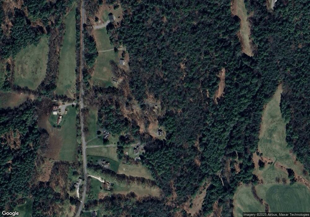
Map
Nearby Homes
- 47 Cross St
- 59 River St
- 23 Industrial Dr
- 1 Northfield Rd
- 75 South St Unit 3
- 001 Adams Rd
- 182 Main Rd
- 31 Lovers Ln
- 83 Eden Trail Branch
- 180 Bald Mountain Rd
- 539 Fox Hill Rd
- 696 Bernardston Rd
- 72 Meadowood Dr
- Lot 9 Fox Hill Rd (Off)
- 30 Park St
- 79 Burnham Rd
- 21 Hillside Ave
- 0 Millers Falls Rd Unit 73034825
- 56 Brattleboro Rd
- 0 Meadow View Ln & Pine Meadow
- 725 Lampblack Rd
- 711 Lampblack Rd
- 777 Lampblack Rd
- 717 Lampblack Rd
- 705 Lampblack Rd
- 720 Lampblack Rd
- 695 Lampblack Rd
- 783 Lampblack Rd
- 692 Lampblack Rd
- 671 Lampblack Rd
- 675 Lampblack Rd
- 672 Lampblack Rd
- 789 Lampblack Rd
- 4 Lampblack Rd
- 12E Lampblack Rd
- 2 Lamp Black Rd
- 817 Lampblack Rd
- Lot 1 Lampblack Rd
- 1 Bascom Rd
- 73 Hoe Shop Rd