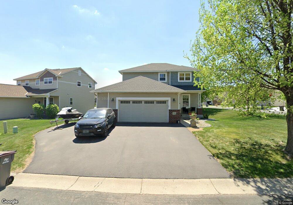
731 Lenox Dr Waconia, MN 55387
Estimated Value: $435,305 - $503,000
4
Beds
4
Baths
1,854
Sq Ft
$251/Sq Ft
Est. Value
About This Home
This home is located at 731 Lenox Dr, Waconia, MN 55387 and is currently estimated at $465,326, approximately $250 per square foot. 731 Lenox Dr is a home located in Carver County with nearby schools including Southview Elementary School, Waconia Middle School, and Waconia High School.
Ownership History
Date
Name
Owned For
Owner Type
Purchase Details
Closed on
May 25, 2007
Sold by
Centex Homes Minnesota Division
Bought by
Willroth Timothy A and Willroth Darby L
Current Estimated Value
Home Financials for this Owner
Home Financials are based on the most recent Mortgage that was taken out on this home.
Original Mortgage
$280,000
Outstanding Balance
$170,687
Interest Rate
6.21%
Mortgage Type
New Conventional
Estimated Equity
$294,639
Create a Home Valuation Report for This Property
The Home Valuation Report is an in-depth analysis detailing your home's value as well as a comparison with similar homes in the area
Home Values in the Area
Average Home Value in this Area
Purchase History
| Date | Buyer | Sale Price | Title Company |
|---|---|---|---|
| Willroth Timothy A | $280,000 | -- |
Source: Public Records
Mortgage History
| Date | Status | Borrower | Loan Amount |
|---|---|---|---|
| Open | Willroth Timothy A | $280,000 |
Source: Public Records
Tax History Compared to Growth
Tax History
| Year | Tax Paid | Tax Assessment Tax Assessment Total Assessment is a certain percentage of the fair market value that is determined by local assessors to be the total taxable value of land and additions on the property. | Land | Improvement |
|---|---|---|---|---|
| 2025 | $5,134 | $450,100 | $110,000 | $340,100 |
| 2024 | $5,050 | $414,000 | $100,000 | $314,000 |
| 2023 | $4,722 | $414,000 | $100,000 | $314,000 |
| 2022 | $4,420 | $398,000 | $75,000 | $323,000 |
| 2021 | $4,280 | $308,700 | $62,200 | $246,500 |
| 2020 | $4,000 | $308,700 | $62,200 | $246,500 |
| 2019 | $3,720 | $262,300 | $50,300 | $212,000 |
| 2018 | $3,576 | $262,300 | $50,300 | $212,000 |
| 2017 | $3,280 | $266,200 | $46,200 | $220,000 |
| 2016 | $3,318 | $237,300 | $0 | $0 |
| 2015 | $2,902 | $226,800 | $0 | $0 |
| 2014 | $2,902 | $191,200 | $0 | $0 |
Source: Public Records
Map
Nearby Homes
- 708 Lenox Dr
- 627 Tiffany Ln
- 1683 Saint George St
- 628 Tiffany Ln
- 627 Ravencroft Rd
- 720 Longmeadow Ln
- 550 Tiffany Ln
- 325 Ravencroft Rd
- 321 Ravencroft Rd
- 609 Sierra Pkwy
- 162 Huntington Dr
- Bristol Plan at Waterford - Discovery Collection
- St.Clair Plan at Waterford - Liberty Collection
- Clearwater Plan at Waterford - Discovery Collection
- Sinclair Plan at Waterford - Discovery Collection
- Taylor Plan at Waterford - Liberty Collection
- Lewis Plan at Waterford - Discovery Collection
- Richmond Plan at Waterford - Liberty Collection
- Springfield Plan at Waterford - Discovery Collection
- McKinley Plan at Waterford - Discovery Collection