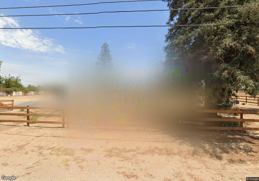
731 N Armstrong Ave Clovis, CA 93611
Estimated Value: $566,000 - $808,000
4
Beds
3
Baths
2,070
Sq Ft
$325/Sq Ft
Est. Value
About This Home
This home is located at 731 N Armstrong Ave, Clovis, CA 93611 and is currently estimated at $673,547, approximately $325 per square foot. 731 N Armstrong Ave is a home located in Fresno County with nearby schools including Century Elementary School, Alta Sierra Intermediate School, and Buchanan High School.
Ownership History
Date
Name
Owned For
Owner Type
Purchase Details
Closed on
Feb 28, 2018
Sold by
Cressall Richard B and Cressall Jonna M
Bought by
Cressall Richard A and Cressall Krystal
Current Estimated Value
Home Financials for this Owner
Home Financials are based on the most recent Mortgage that was taken out on this home.
Original Mortgage
$312,416
Outstanding Balance
$265,504
Interest Rate
4.22%
Mortgage Type
New Conventional
Estimated Equity
$408,043
Purchase Details
Closed on
Aug 31, 2000
Sold by
Cressall Richard B and Cressall Jonna M
Bought by
Cressall Richard B and Cressall Jonna M
Purchase Details
Closed on
Dec 14, 1998
Sold by
Cressall Richard B and Cressall Jonna M
Bought by
Cressall Richard B and Cressall Jonna M
Home Financials for this Owner
Home Financials are based on the most recent Mortgage that was taken out on this home.
Original Mortgage
$103,000
Interest Rate
6.91%
Create a Home Valuation Report for This Property
The Home Valuation Report is an in-depth analysis detailing your home's value as well as a comparison with similar homes in the area
Home Values in the Area
Average Home Value in this Area
Purchase History
| Date | Buyer | Sale Price | Title Company |
|---|---|---|---|
| Cressall Richard A | $391,000 | Placer Title Company | |
| Cressall Richard B | -- | -- | |
| Cressall Richard B | -- | Fidelity National Title Co |
Source: Public Records
Mortgage History
| Date | Status | Borrower | Loan Amount |
|---|---|---|---|
| Open | Cressall Richard A | $312,416 | |
| Previous Owner | Cressall Richard B | $103,000 |
Source: Public Records
Tax History
| Year | Tax Paid | Tax Assessment Tax Assessment Total Assessment is a certain percentage of the fair market value that is determined by local assessors to be the total taxable value of land and additions on the property. | Land | Improvement |
|---|---|---|---|---|
| 2025 | $2,794 | $243,705 | $71,069 | $172,636 |
| 2023 | $2,738 | $234,243 | $68,310 | $165,933 |
| 2022 | $2,647 | $229,651 | $66,971 | $162,680 |
| 2021 | $2,571 | $225,149 | $65,658 | $159,491 |
| 2020 | $2,561 | $222,841 | $64,985 | $157,856 |
| 2019 | $2,509 | $218,472 | $63,711 | $154,761 |
Source: Public Records
Map
Nearby Homes
- 2361 Cromwell Ave
- 971 N Filbert Ave
- 878 N Ash Ave
- 2089 Boccioni Ln
- 367 N Raphael Ln Unit 367
- 2117 Goshen Ave
- 338 N Filbert Ave
- 1977 Goshen Ave
- 2051 Los Altos Ave
- 2047 Menlo Ave
- 2671 Fremont Ave
- 2051 Sierra Ave
- 1490 Fir Ave
- 22 N Bliss Ave
- 2670 Muncie Ave
- 1 Ave
- 2216 Ellery Ave
- 8220 N Fowler Ave
- 2770 Muncie Ave
- 2535 Sierra Ave
- 761 N Armstrong Ave
- 669 N Armstrong Ave
- 2196 Chennault Ave
- 2191 Birch Ave
- 2290 Alluvial Ave
- 2197 Chennault Ave
- 2186 Chennault Ave
- 734 N Armstrong Ave
- 2187 Chennault Ave
- 791 N Armstrong Ave
- 2181 Birch Ave
- 2192 Birch Ave
- 2176 Chennault Ave
- 2177 Chennault Ave
- 2171 Birch Ave
- 2182 Birch Ave
- 2166 Chennault Ave
- 691 N Armstrong Ave
- 647 N Armstrong Ave
- 2167 Chennault Ave
Your Personal Tour Guide
Ask me questions while you tour the home.