7311 Binnacle Dr Carlsbad, CA 92011
South Beach NeighborhoodEstimated Value: $2,110,000 - $2,316,000
4
Beds
3
Baths
2,798
Sq Ft
$795/Sq Ft
Est. Value
About This Home
This home is located at 7311 Binnacle Dr, Carlsbad, CA 92011 and is currently estimated at $2,225,427, approximately $795 per square foot. 7311 Binnacle Dr is a home located in San Diego County with nearby schools including Pacific Rim Elementary, Aviara Oaks Middle, and Carlsbad High School.
Ownership History
Date
Name
Owned For
Owner Type
Purchase Details
Closed on
Jun 10, 2005
Sold by
Low Robin S and Low Nancy L
Bought by
Low Rob S and Low Nancy
Current Estimated Value
Purchase Details
Closed on
Sep 30, 1998
Sold by
Greystone Homes Inc
Bought by
Low Robin S and Low Nancy L
Home Financials for this Owner
Home Financials are based on the most recent Mortgage that was taken out on this home.
Original Mortgage
$377,750
Interest Rate
7%
Create a Home Valuation Report for This Property
The Home Valuation Report is an in-depth analysis detailing your home's value as well as a comparison with similar homes in the area
Home Values in the Area
Average Home Value in this Area
Purchase History
| Date | Buyer | Sale Price | Title Company |
|---|---|---|---|
| Low Rob S | -- | -- | |
| Low Robin S | $420,000 | First American Title |
Source: Public Records
Mortgage History
| Date | Status | Borrower | Loan Amount |
|---|---|---|---|
| Previous Owner | Low Robin S | $377,750 |
Source: Public Records
Tax History
| Year | Tax Paid | Tax Assessment Tax Assessment Total Assessment is a certain percentage of the fair market value that is determined by local assessors to be the total taxable value of land and additions on the property. | Land | Improvement |
|---|---|---|---|---|
| 2025 | $7,586 | $657,948 | $313,534 | $344,414 |
| 2024 | $7,586 | $645,048 | $307,387 | $337,661 |
| 2023 | $7,549 | $632,401 | $301,360 | $331,041 |
| 2022 | $7,443 | $620,001 | $295,451 | $324,550 |
| 2021 | $7,391 | $607,845 | $289,658 | $318,187 |
| 2020 | $7,346 | $601,613 | $286,688 | $314,925 |
| 2019 | $7,226 | $589,817 | $281,067 | $308,750 |
| 2018 | $6,950 | $578,253 | $275,556 | $302,697 |
| 2017 | $6,846 | $566,915 | $270,153 | $296,762 |
| 2016 | $6,599 | $555,800 | $264,856 | $290,944 |
| 2015 | $6,575 | $547,452 | $260,878 | $286,574 |
| 2014 | $6,477 | $536,729 | $255,768 | $280,961 |
Source: Public Records
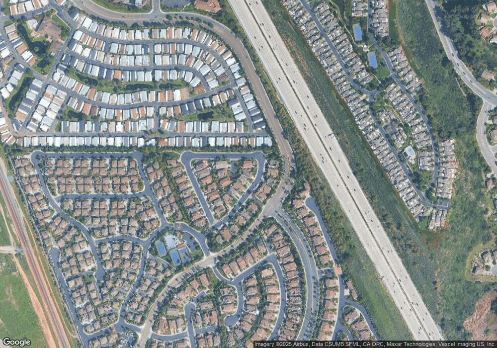
Map
Nearby Homes
- 7393 Portage Way
- 7354 Escallonia Ct
- 7521 Navigator Cir
- 917 Anatra Ct
- 7104 Lantana Terrace
- 7233 San Bartolo St Unit 376
- 7311 San Luis St Unit 237
- 7305 San Bartolo St Unit 374
- 7236 San Benito St Unit 355
- 7320 San Bartolo St Unit 217
- 7302 Santa Barbara St Unit 323
- 7241 San Luis St
- 7326 San Bartolo St Unit 220
- 7269 San Luis St Unit 244
- 7313 Santa Barbara St Unit 294
- 7315 San Luis St Unit 235
- 7025 San Bartolo St Unit 42
- 7243 San Luis St Unit 257
- 7218 San Lucas St Unit 189
- 7234 Santa Barbara St Unit 319
- 7315 Binnacle Dr
- 7307 Binnacle Dr
- 7319 Binnacle Dr
- 7316 Binnacle Dr
- 7320 Binnacle Dr
- 7312 Binnacle Dr
- 7313 Marine Place
- 7324 Binnacle Dr
- 7323 Binnacle Dr
- 7308 Binnacle Dr
- 7309 Marine Place
- 7305 Marine Place
- 7328 Binnacle Dr
- 7327 Binnacle Dr
- 7332 Binnacle Dr
- 7318 Starboard St
- 7322 Starboard St
- 7314 Starboard St
- 7310 Starboard St
- 7326 Starboard St
Your Personal Tour Guide
Ask me questions while you tour the home.