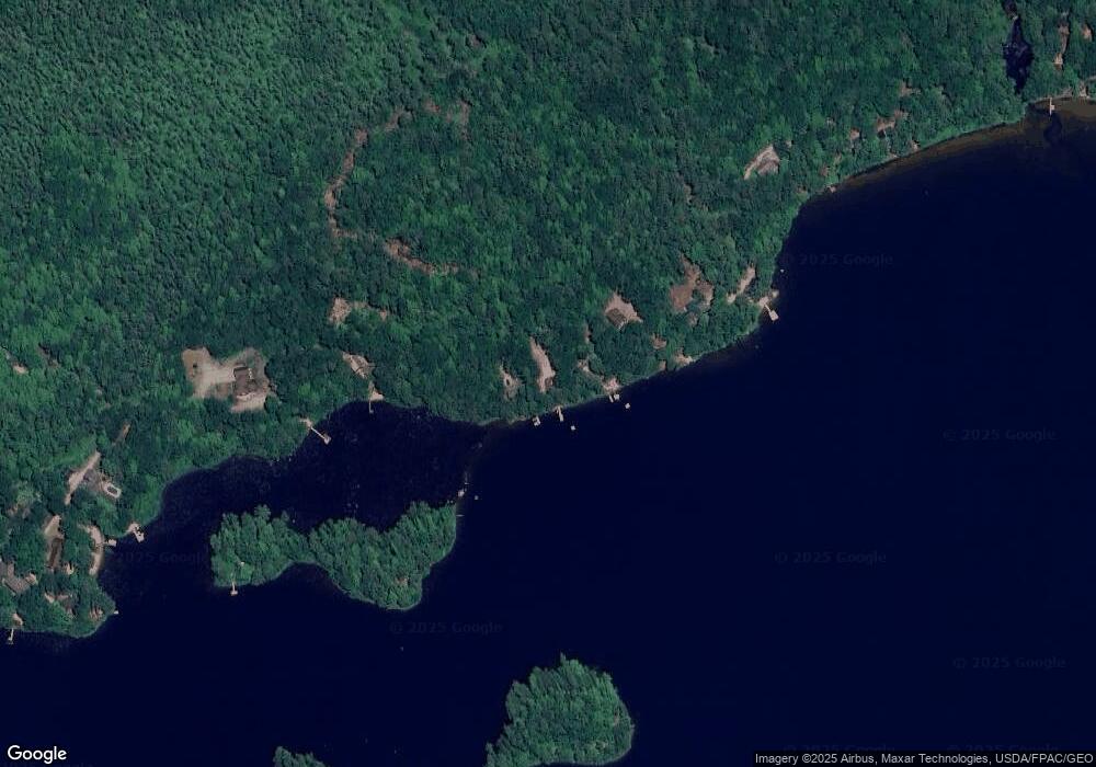
732 Morrison Conway Lake Conway, NH 03818
Estimated Value: $381,000 - $932,156
2
Beds
1
Bath
800
Sq Ft
$919/Sq Ft
Est. Value
About This Home
This home is located at 732 Morrison Conway Lake, Conway, NH 03818 and is currently estimated at $735,289, approximately $919 per square foot. 732 Morrison Conway Lake is a home located in Carroll County with nearby schools including Kenneth A. Brett School.
Ownership History
Date
Name
Owned For
Owner Type
Purchase Details
Closed on
Jul 21, 2008
Sold by
Spratt Elaine C
Bought by
Murphy Patrick J and Murphy Brenda L
Current Estimated Value
Home Financials for this Owner
Home Financials are based on the most recent Mortgage that was taken out on this home.
Original Mortgage
$300,000
Outstanding Balance
$194,518
Interest Rate
6.17%
Mortgage Type
Purchase Money Mortgage
Estimated Equity
$540,771
Create a Home Valuation Report for This Property
The Home Valuation Report is an in-depth analysis detailing your home's value as well as a comparison with similar homes in the area
Home Values in the Area
Average Home Value in this Area
Purchase History
| Date | Buyer | Sale Price | Title Company |
|---|---|---|---|
| Murphy Patrick J | $475,000 | -- |
Source: Public Records
Mortgage History
| Date | Status | Borrower | Loan Amount |
|---|---|---|---|
| Open | Murphy Patrick J | $300,000 |
Source: Public Records
Tax History Compared to Growth
Tax History
| Year | Tax Paid | Tax Assessment Tax Assessment Total Assessment is a certain percentage of the fair market value that is determined by local assessors to be the total taxable value of land and additions on the property. | Land | Improvement |
|---|---|---|---|---|
| 2024 | $9,018 | $751,500 | $604,100 | $147,400 |
| 2023 | $7,899 | $732,100 | $589,100 | $143,000 |
| 2022 | $8,728 | $478,500 | $397,600 | $80,900 |
| 2021 | $7,819 | $478,500 | $397,600 | $80,900 |
| 2020 | $8,321 | $478,500 | $397,600 | $80,900 |
| 2019 | $8,222 | $474,700 | $397,600 | $77,100 |
| 2018 | $9,293 | $444,200 | $381,300 | $62,900 |
| 2017 | $8,875 | $444,200 | $381,300 | $62,900 |
| 2016 | $8,525 | $441,500 | $381,300 | $60,200 |
| 2015 | $8,428 | $441,500 | $381,300 | $60,200 |
| 2014 | $8,327 | $441,500 | $381,300 | $60,200 |
| 2013 | $8,201 | $459,200 | $397,600 | $61,600 |
Source: Public Records
Map
Nearby Homes
- 30 Tennis Road Extension Unit 1
- 2660 Nh Route 16
- 22 Ronald Rd
- 481 Chocorua Mountain Hwy
- 948 Gardner Hill Rd
- 63 Whipples Way
- 49 Deer Hill Rd
- 00 Alden Washburn Dr
- 0 Alden Washburn Dr Unit 5066667
- 910 Page Hill Rd
- 70 White Mountain Hwy
- 330 Benjamin Wentworth Dr
- 00 Altitude Overlook Rd Unit 359
- 1311 Village Rd
- 1780 Route 16
- 85 Main St Unit 2
- 83 Tamworth Rd
- 126 Forest Pines Rd
- 748 Plains Rd
- 19 Easy Ave
- 00 Kancamagus Hwy and Old Cutler
- 72 Knob Hill
- 30 Tennis Road Extension Unit 4
- 751 Davis Hill
- 357 Lamplighter Resort
- 84 Northbrook Circle (H59) Unit H59
- 73 Hill Rd
- 91 Hill Rd
- 30 Thetford Lane (Garmish)
- 1 Country Drive (21 Country Drive)
- 11 Mt View @ Crown Ridge Unit 11
- 24 Northface Cir Unit 24
- 16 Knob Hill
- 6 Haynesville Ave - Conway Heights
- 13 Radio Station Condominiums: River St
- G56 Northbrook Cir Unit G56
- H 57 Northbrook Cir Unit H 57
- 48 High St
- 16 Knob Hill Rd
- L/O Chocorua Mountain Hwy
