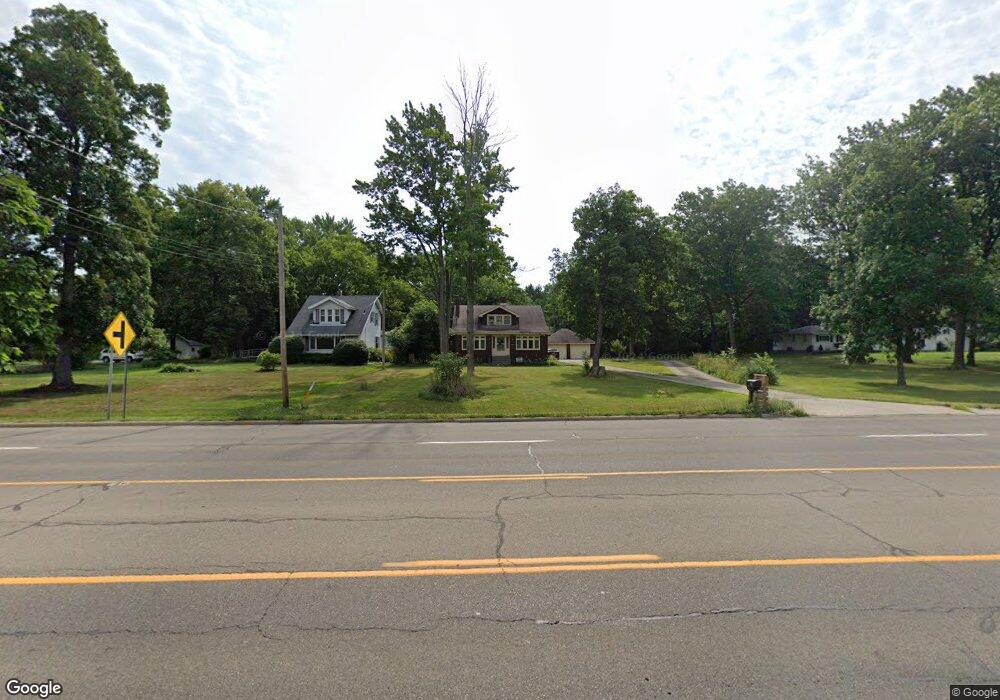
733 S Canfield Niles Rd Youngstown, OH 44515
Austintown NeighborhoodEstimated Value: $219,000 - $279,640
3
Beds
2
Baths
2,402
Sq Ft
$105/Sq Ft
Est. Value
About This Home
This home is located at 733 S Canfield Niles Rd, Youngstown, OH 44515 and is currently estimated at $252,910, approximately $105 per square foot. 733 S Canfield Niles Rd is a home located in Mahoning County with nearby schools including Austintown Elementary School, Austintown Intermediate School, and Austintown Middle School.
Ownership History
Date
Name
Owned For
Owner Type
Purchase Details
Closed on
Oct 14, 2012
Sold by
Estate Of Laverne Marks
Bought by
Marks David R and Marks Kenneth J
Current Estimated Value
Purchase Details
Closed on
Oct 17, 1995
Bought by
David R Marks
Purchase Details
Closed on
Jan 1, 1990
Bought by
Marks J L and S L
Create a Home Valuation Report for This Property
The Home Valuation Report is an in-depth analysis detailing your home's value as well as a comparison with similar homes in the area
Home Values in the Area
Average Home Value in this Area
Purchase History
| Date | Buyer | Sale Price | Title Company |
|---|---|---|---|
| Marks David R | -- | None Available | |
| David R Marks | -- | -- | |
| Marks J L | -- | -- |
Source: Public Records
Tax History Compared to Growth
Tax History
| Year | Tax Paid | Tax Assessment Tax Assessment Total Assessment is a certain percentage of the fair market value that is determined by local assessors to be the total taxable value of land and additions on the property. | Land | Improvement |
|---|---|---|---|---|
| 2024 | $3,650 | $77,930 | $22,500 | $55,430 |
| 2023 | $3,594 | $77,930 | $22,500 | $55,430 |
| 2022 | $2,726 | $47,340 | $16,580 | $30,760 |
| 2021 | $2,727 | $47,340 | $16,580 | $30,760 |
| 2020 | $2,739 | $47,340 | $16,580 | $30,760 |
| 2019 | $3,005 | $47,340 | $16,580 | $30,760 |
| 2018 | $2,896 | $47,340 | $16,580 | $30,760 |
| 2017 | $2,839 | $47,340 | $16,580 | $30,760 |
| 2016 | $2,785 | $45,120 | $11,810 | $33,310 |
| 2015 | $2,702 | $45,120 | $11,810 | $33,310 |
| 2014 | $2,716 | $45,120 | $11,810 | $33,310 |
| 2013 | $2,628 | $45,120 | $11,810 | $33,310 |
Source: Public Records
Map
Nearby Homes
- 5318 Pinecrest Ave
- 5559 London Dr
- 5640 Baylor Ave
- 701 Oberlin Place
- 5179 Willow Crest Ave
- 316 S Inglewood Ave
- 148 Marcia Dr
- 5109 W Elmwood Ave
- 5256 S Saratoga Ave
- 3794-3796 Mahoning Ave
- 0 Madrid Dr
- 5678 Cider Mill Crossing
- 124 S Inglewood Ave
- 5677 Mahoning Ave
- 519 Wilcox Rd Unit A
- 557 Wilcox Rd Unit A
- 125 Fitch Blvd Unit 224
- 1707 Westhampton Dr
- 1228 Cavalcade Dr
- 5451 Virginia Dr
- 713 S Canfield Niles Rd
- 851 S Canfield Niles Rd
- 651 S Canfield Niles Rd
- 670 S Canfield Niles Rd
- 730 S Canfield Niles Rd
- 961 S Canfield Niles Rd
- 666 S Canfield Niles Rd
- 603 S Canfield Niles Rd
- 970 S Canfield Niles Rd
- 538 S Canfield-Niles Rd
- 1055 S Canfield Niles Rd
- 595 S Canfield Niles Rd
- 5390 Pinecrest Ave
- 5382 Pinecrest Ave
- 5506 Colgate Ave
- 1196 S Canfield Niles Rd
- 5398 Pinecrest Ave
- 599 Harvard Place
- 609 Harvard Place
- 5374 Pinecrest Ave