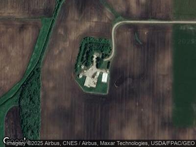
73433 310th St Hartland, MN 56042
Estimated Value: $222,000 - $1,464,670
4
Beds
2
Baths
1,723
Sq Ft
$489/Sq Ft
Est. Value
About This Home
This home is located at 73433 310th St, Hartland, MN 56042 and is currently estimated at $843,335, approximately $489 per square foot. 73433 310th St is a home located in Freeborn County with nearby schools including Sibley Elementary School, Southwest Middle School, and Albert Lea Senior High School.
Create a Home Valuation Report for This Property
The Home Valuation Report is an in-depth analysis detailing your home's value as well as a comparison with similar homes in the area
Home Values in the Area
Average Home Value in this Area
Tax History Compared to Growth
Tax History
| Year | Tax Paid | Tax Assessment Tax Assessment Total Assessment is a certain percentage of the fair market value that is determined by local assessors to be the total taxable value of land and additions on the property. | Land | Improvement |
|---|---|---|---|---|
| 2024 | $6,506 | $1,783,300 | $1,620,500 | $162,800 |
| 2023 | $5,946 | $1,649,400 | $1,477,800 | $171,600 |
| 2022 | $6,034 | $1,358,900 | $1,183,500 | $175,400 |
| 2021 | $5,650 | $1,113,600 | $987,000 | $126,600 |
| 2020 | $6,136 | $1,120,600 | $1,001,800 | $118,800 |
| 2019 | $5,994 | $1,120,600 | $1,001,800 | $118,800 |
| 2018 | $5,702 | $0 | $0 | $0 |
| 2016 | $5,660 | $0 | $0 | $0 |
| 2015 | $5,892 | $0 | $0 | $0 |
| 2014 | $5,714 | $0 | $0 | $0 |
| 2012 | $5,012 | $0 | $0 | $0 |
Source: Public Records
Map
Nearby Homes
- 199 2nd St NE
- 8113 SW 158th St
- 215 1st St NE
- 405 Independence Ave S
- 000 County Highway 45
- 21720 State Highway 13
- 103 4th Place SW
- 67923 270th St
- 29052 800th Ave
- 705 & 707 Council Ct
- 809 Dale Ct
- tbd 2nd St SE
- 802 Dutton Dr
- 208 1st Ave NE
- TBA SE 2nd
- Lot 3 NW Gunnar Ln
- 301 4th St N
- Lot 2 NW Gunnar Ln
- 304 3rd St N
- Lot 1 NW Gunnar Ln