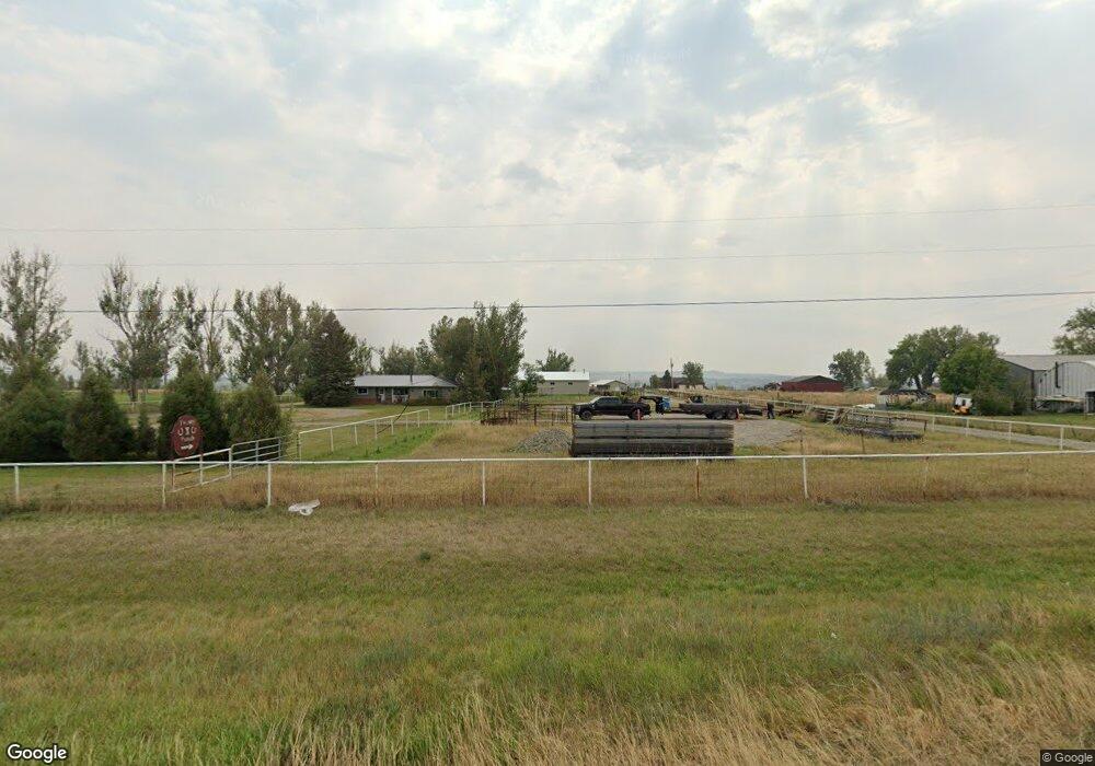
7347 Us Highway 312 Billings, MT 59105
Estimated Value: $575,000 - $728,000
4
Beds
2
Baths
4,863
Sq Ft
$129/Sq Ft
Est. Value
About This Home
This home is located at 7347 Us Highway 312, Billings, MT 59105 and is currently estimated at $626,214, approximately $128 per square foot. 7347 Us Highway 312 is a home located in Yellowstone County with nearby schools including Shepherd Elementary School, Shepherd Middle School, and Shepherd High School.
Ownership History
Date
Name
Owned For
Owner Type
Purchase Details
Closed on
Nov 10, 2020
Sold by
Olson Amanda G
Bought by
Olson Ricker A and Olson Amanda G
Current Estimated Value
Purchase Details
Closed on
Oct 20, 2010
Sold by
Siemsen Ryan and Siemsen Melissa
Bought by
Olson Ricker A and Olson Amanda G
Home Financials for this Owner
Home Financials are based on the most recent Mortgage that was taken out on this home.
Original Mortgage
$259,689
Interest Rate
4.31%
Mortgage Type
New Conventional
Purchase Details
Closed on
Jan 28, 2010
Sold by
Olson Ricker A
Bought by
Olson Amanda G
Purchase Details
Closed on
Aug 13, 2008
Sold by
Knerr Kim and Knerr Nicki
Bought by
Siemsen Ryan and Siemsen Melissa
Home Financials for this Owner
Home Financials are based on the most recent Mortgage that was taken out on this home.
Original Mortgage
$208,000
Interest Rate
6.32%
Mortgage Type
Unknown
Create a Home Valuation Report for This Property
The Home Valuation Report is an in-depth analysis detailing your home's value as well as a comparison with similar homes in the area
Home Values in the Area
Average Home Value in this Area
Purchase History
| Date | Buyer | Sale Price | Title Company |
|---|---|---|---|
| Olson Ricker A | -- | None Listed On Document | |
| Olson Ricker A | -- | None Available | |
| Olson Amanda G | -- | None Available | |
| Siemsen Ryan | -- | None Available |
Source: Public Records
Mortgage History
| Date | Status | Borrower | Loan Amount |
|---|---|---|---|
| Previous Owner | Olson Ricker A | $259,689 | |
| Previous Owner | Siemsen Ryan | $208,000 |
Source: Public Records
Tax History Compared to Growth
Tax History
| Year | Tax Paid | Tax Assessment Tax Assessment Total Assessment is a certain percentage of the fair market value that is determined by local assessors to be the total taxable value of land and additions on the property. | Land | Improvement |
|---|---|---|---|---|
| 2025 | $4,325 | $627,470 | $130,950 | $496,520 |
| 2024 | $4,325 | $479,058 | $94,068 | $384,990 |
| 2023 | $4,401 | $479,058 | $94,068 | $384,990 |
| 2022 | $4,336 | $421,611 | $76,221 | $345,390 |
| 2021 | $4,325 | $421,611 | $0 | $0 |
| 2020 | $4,149 | $386,373 | $0 | $0 |
| 2019 | $3,430 | $386,373 | $0 | $0 |
| 2018 | $3,511 | $368,293 | $0 | $0 |
| 2017 | $3,194 | $368,293 | $0 | $0 |
| 2016 | $3,567 | $384,810 | $0 | $0 |
| 2015 | $3,535 | $384,810 | $0 | $0 |
| 2014 | $3,313 | $216,465 | $0 | $0 |
Source: Public Records
Map
Nearby Homes
- 5840,5850,5904 Lunder Ln
- 6447 US Highway 312
- 5510 Powmer Rd
- 119 Peritse Ave
- 4820 Maribrooke Rd
- 4935 Lewies Way
- 0 Great Northern Unit 354449
- 0000 Florian Ave
- 5358 Yeoman Rd
- 7133 Mustang Rd
- 1266 Chipper Ln
- 1251 Chipper Ln
- 1246 Chipper Ln
- 1191 Chipper Ln
- 3631 Lynette Ln
- 6634 Killdeer Ln
- 8020 Wade St
- 6808 Earl Ave
- L13B2 High Noon Dr
- L11B3 High Noon Dr
- 7329 Us Highway 312
- 7331 Us Highway 312
- 7328 Us Highway 312
- 7444 Us Highway 312
- 5607 Vermillion Rd
- 5809 Shepherd Rd
- 5731 Shepherd Rd
- 5623 Vermillion Rd
- 5840 Lunder Ln
- 7445 Us Highway 312
- 5825 Shepherd Rd E
- 5740 Shepherd Rd
- 5548 Vermillion Rd
- 5531 Vermillion Rd
- 5544 Lester Ln
- 5909 Shepherd Rd
- 5822 Chicago Rd
- 5824 Chicago Rd
- 5535 Lester Ln
- 5810 Chicago Rd