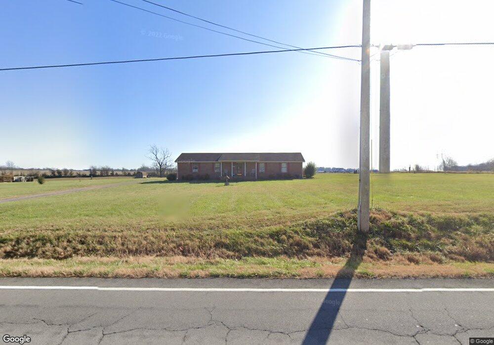
7349 Highway 49 E Springfield, TN 37172
Estimated Value: $358,190 - $447,000
Studio
2
Baths
1,750
Sq Ft
$231/Sq Ft
Est. Value
About This Home
This home is located at 7349 Highway 49 E, Springfield, TN 37172 and is currently estimated at $404,548, approximately $231 per square foot. 7349 Highway 49 E is a home located in Robertson County with nearby schools including Krisle Elementary School and East Robertson High School.
Ownership History
Date
Name
Owned For
Owner Type
Purchase Details
Closed on
Jul 25, 2003
Bought by
Richardson Chad and Richardson Rhonda A
Current Estimated Value
Home Financials for this Owner
Home Financials are based on the most recent Mortgage that was taken out on this home.
Original Mortgage
$123,068
Outstanding Balance
$50,886
Interest Rate
5.24%
Estimated Equity
$353,663
Purchase Details
Closed on
Aug 22, 2002
Sold by
Hoagland Sherry R
Bought by
Adams Harold T
Purchase Details
Closed on
Feb 22, 2000
Sold by
Etal Hoagland Sherry R
Bought by
Gregory Sherry C and Gregory Ronal H
Purchase Details
Closed on
May 28, 1992
Bought by
Hoagland Sherry R and Gregory Ronal H
Purchase Details
Closed on
Jul 24, 1990
Bought by
White John T and White Tammy P
Create a Home Valuation Report for This Property
The Home Valuation Report is an in-depth analysis detailing your home's value as well as a comparison with similar homes in the area
Home Values in the Area
Average Home Value in this Area
Purchase History
| Date | Buyer | Sale Price | Title Company |
|---|---|---|---|
| Richardson Chad | $125,000 | -- | |
| Adams Harold T | $96,500 | -- | |
| Gregory Sherry C | -- | -- | |
| Hoagland Sherry R | $75,000 | -- | |
| White John T | $68,000 | -- |
Source: Public Records
Mortgage History
| Date | Status | Borrower | Loan Amount |
|---|---|---|---|
| Open | White John T | $123,068 |
Source: Public Records
Tax History
| Year | Tax Paid | Tax Assessment Tax Assessment Total Assessment is a certain percentage of the fair market value that is determined by local assessors to be the total taxable value of land and additions on the property. | Land | Improvement |
|---|---|---|---|---|
| 2025 | $1,336 | $74,250 | $19,600 | $54,650 |
| 2024 | $1,336 | $74,250 | $19,600 | $54,650 |
| 2023 | $1,337 | $74,250 | $19,600 | $54,650 |
| 2022 | $1,242 | $48,200 | $7,475 | $40,725 |
| 2021 | $1,242 | $48,200 | $7,475 | $40,725 |
| 2020 | $1,242 | $48,200 | $7,475 | $40,725 |
| 2019 | $1,242 | $48,200 | $7,475 | $40,725 |
| 2018 | $1,242 | $48,200 | $7,475 | $40,725 |
| 2017 | $1,094 | $35,450 | $5,975 | $29,475 |
| 2016 | $1,094 | $35,450 | $5,975 | $29,475 |
| 2015 | $1,049 | $35,450 | $5,975 | $29,475 |
| 2014 | $1,049 | $35,450 | $5,975 | $29,475 |
Source: Public Records
Map
Nearby Homes
- 0 Charles Dorris Rd
- 7518 Highway 49 E
- 6437 Hopewell Rd
- 0 Homer Worsham Rd
- 0 Pinson Rd
- 5031 Homer Worsham Rd
- 5918 Lakeview Rd
- 0 Beards Chapel Rd Unit 2
- 0 Beards Chapel Rd Unit 1
- 0 Beards Chapel Rd Unit 3
- 5730 Lakeview Rd
- 4616 Woodrow Wilson Rd
- 0 Owens Chapel Rd
- 4247 Armstrong Rd
- 4920 Youngville Rd
- 4971 Hyde Rd
- 12354 Owens Chapel Rd
- 6808 Hester Rd
- 4850 Hyde Rd
- 4031 Wells Rd
- 7341 Highway 49 E
- 7356 Highway 49 E
- 7340 Highway 49 E
- 1003 Loganview Way
- 1005 Loganview Way
- 1008 Loganview Way
- 1013 Loganview Way
- 1012 Loganview Way
- 4845 Charles Dorris Rd
- 7425 Highway 49 E
- 4855 Charles Dorris Rd
- 4809 Charles Dorris Rd
- 7402 Highway 49 E
- 6222 Highway 25 E
- 4875 Charles Dorris Rd
- 6288 Highway 25 E
- 4889 Charles Dorris Rd
- 3 Hwy 25e
- 2 Hwy 25 E
- 4747 Charles Dorris Rd
Your Personal Tour Guide
Ask me questions while you tour the home.