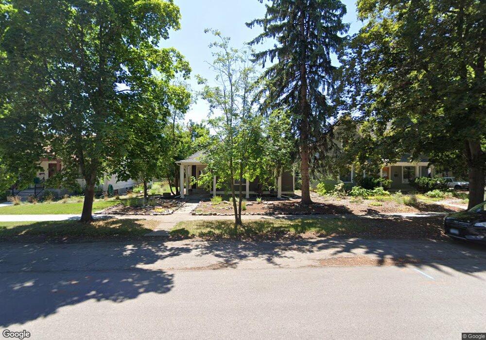
735 S 4th St W Missoula, MT 59801
Riverfront NeighborhoodEstimated Value: $453,453 - $542,000
2
Beds
1
Bath
957
Sq Ft
$513/Sq Ft
Est. Value
About This Home
This home is located at 735 S 4th St W, Missoula, MT 59801 and is currently estimated at $491,113, approximately $513 per square foot. 735 S 4th St W is a home located in Missoula County with nearby schools including Paxson School, Washington Middle School, and Hellgate High School.
Ownership History
Date
Name
Owned For
Owner Type
Purchase Details
Closed on
Oct 12, 2021
Sold by
Berube Ryan
Bought by
Berube Mary A
Current Estimated Value
Home Financials for this Owner
Home Financials are based on the most recent Mortgage that was taken out on this home.
Original Mortgage
$252,000
Outstanding Balance
$230,429
Interest Rate
2.99%
Estimated Equity
$260,684
Purchase Details
Closed on
Jan 25, 2021
Sold by
Corcoran Michael and Corcoran Luann
Bought by
Berube Ryan and Berube Mary A
Home Financials for this Owner
Home Financials are based on the most recent Mortgage that was taken out on this home.
Original Mortgage
$319,330
Interest Rate
2.67%
Mortgage Type
VA
Purchase Details
Closed on
Oct 18, 2016
Sold by
Jimmerson Terrence and Horan Rae
Bought by
Milyard Betsy and Milyard Jeremy
Create a Home Valuation Report for This Property
The Home Valuation Report is an in-depth analysis detailing your home's value as well as a comparison with similar homes in the area
Home Values in the Area
Average Home Value in this Area
Purchase History
| Date | Buyer | Sale Price | Title Company |
|---|---|---|---|
| Berube Mary A | -- | Stewart Title | |
| Berube Ryan | -- | Stewart Title | |
| Milyard Betsy | $109,000 | Accommodation |
Source: Public Records
Mortgage History
| Date | Status | Borrower | Loan Amount |
|---|---|---|---|
| Open | Berube Mary A | $252,000 | |
| Closed | Berube Ryan | $319,330 |
Source: Public Records
Tax History Compared to Growth
Tax History
| Year | Tax Paid | Tax Assessment Tax Assessment Total Assessment is a certain percentage of the fair market value that is determined by local assessors to be the total taxable value of land and additions on the property. | Land | Improvement |
|---|---|---|---|---|
| 2025 | $4,827 | $462,600 | $326,755 | $135,845 |
| 2024 | $4,632 | $380,700 | $234,975 | $145,725 |
| 2023 | $4,464 | $380,700 | $234,975 | $145,725 |
| 2022 | $3,449 | $255,200 | $0 | $0 |
| 2021 | $3,100 | $255,200 | $0 | $0 |
| 2020 | $3,176 | $242,700 | $0 | $0 |
| 2019 | $2,861 | $219,300 | $0 | $0 |
| 2018 | $2,183 | $162,500 | $0 | $0 |
| 2017 | $1,948 | $162,500 | $0 | $0 |
| 2016 | $2,350 | $171,400 | $0 | $0 |
| 2015 | $2,186 | $171,400 | $0 | $0 |
| 2014 | $2,323 | $103,244 | $0 | $0 |
Source: Public Records
Map
Nearby Homes
- 520 Hickory St
- 808 Ash St
- 722 Oak St
- 512 S 2nd St W
- 1216 S 5th St W
- 125 W Franklin St
- 845 Wyoming St Unit C106
- 835 Wyoming St Unit 104
- 1419 S 2nd St W Unit A & B
- 120 S 4th St W Unit 4 and 6
- 210 Old Mill Rd Unit B
- 210 Old Mill Rd Unit A
- 103 S Inez St
- 1335 Dakota St Unit 8
- 603 Brooks St
- 1138 Montana St
- 145 S Russell St
- TBD Tbd
- 1273 B Idaho St Unit B
- 1273 B Idaho St Unit A