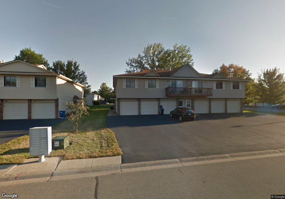
736 Parkside Dr Unit 736F Saint Paul, MN 55127
Estimated Value: $202,000 - $215,000
2
Beds
1
Bath
1,018
Sq Ft
$206/Sq Ft
Est. Value
About This Home
This home is located at 736 Parkside Dr Unit 736F, Saint Paul, MN 55127 and is currently estimated at $209,409, approximately $205 per square foot. 736 Parkside Dr Unit 736F is a home located in Ramsey County with nearby schools including Vadnais Heights Elementary School, Sunrise Park Middle School, and AFSA High School.
Ownership History
Date
Name
Owned For
Owner Type
Purchase Details
Closed on
Jul 29, 2021
Sold by
Opendoor Property Trust I
Bought by
Schlaeger Anthony Thomas
Current Estimated Value
Home Financials for this Owner
Home Financials are based on the most recent Mortgage that was taken out on this home.
Original Mortgage
$166,250
Outstanding Balance
$151,241
Interest Rate
2.93%
Mortgage Type
New Conventional
Estimated Equity
$58,168
Purchase Details
Closed on
Jun 4, 2021
Sold by
Tong Sai Yin and Lau Lai Fong
Bought by
Opendoor Property Trust
Home Financials for this Owner
Home Financials are based on the most recent Mortgage that was taken out on this home.
Original Mortgage
$166,250
Outstanding Balance
$151,241
Interest Rate
2.93%
Mortgage Type
New Conventional
Estimated Equity
$58,168
Purchase Details
Closed on
Sep 25, 1998
Sold by
Beauclaire Karen A and Beauclaire Jesse
Bought by
Tong Sai Yin
Create a Home Valuation Report for This Property
The Home Valuation Report is an in-depth analysis detailing your home's value as well as a comparison with similar homes in the area
Home Values in the Area
Average Home Value in this Area
Purchase History
| Date | Buyer | Sale Price | Title Company |
|---|---|---|---|
| Schlaeger Anthony Thomas | $175,000 | North American Title Co | |
| Opendoor Property Trust | $172,500 | North American Title | |
| Tong Sai Yin | $74,000 | -- | |
| -- | $172,500 | -- |
Source: Public Records
Mortgage History
| Date | Status | Borrower | Loan Amount |
|---|---|---|---|
| Open | Schlaeger Anthony Thomas | $166,250 |
Source: Public Records
Tax History Compared to Growth
Tax History
| Year | Tax Paid | Tax Assessment Tax Assessment Total Assessment is a certain percentage of the fair market value that is determined by local assessors to be the total taxable value of land and additions on the property. | Land | Improvement |
|---|---|---|---|---|
| 2025 | $2,250 | $209,200 | $1,000 | $208,200 |
| 2023 | $2,250 | $187,600 | $1,000 | $186,600 |
| 2022 | $1,702 | $167,900 | $1,000 | $166,900 |
| 2021 | $1,840 | $143,200 | $1,000 | $142,200 |
| 2020 | $1,856 | $136,100 | $1,000 | $135,100 |
| 2019 | $1,570 | $127,400 | $1,000 | $126,400 |
| 2018 | $1,508 | $115,400 | $1,000 | $114,400 |
| 2017 | $1,286 | $111,700 | $1,000 | $110,700 |
| 2016 | $1,288 | $0 | $0 | $0 |
| 2015 | $1,190 | $87,900 | $13,200 | $74,700 |
| 2014 | $1,070 | $0 | $0 | $0 |
Source: Public Records
Map
Nearby Homes
- 697 Parkside Dr Unit 697H
- 3300 Greenbrier St Unit 3300C
- 3329 Greenbrier St
- 696 Monn Ave
- 731 Berwood Ave
- 832 Woodgate Dr Unit 107
- 3230 Edgerton St
- 3120 Greenbrier St
- 963 E Berwood Ave
- 3003 Greenbrier St
- 3028 Edgerton St
- 3000 Ontario Rd
- 3015 Basswood St
- Revere Plan at Pioneer Commons - Colonial Manor Collection
- Franklin Plan at Pioneer Commons - Colonial Manor Collection
- Raleigh Plan at Pioneer Commons - Liberty Collection
- St.Clair Plan at Pioneer Commons - Liberty Collection
- 3092 Vanderbie St
- 3309 Nathaniel Ct
- 441 Mario Dr
- 726 726 Parkside Dr
- 732 Parkside Dr Unit 732H
- 728 Parkside Dr Unit 728G
- 730 Parkside Dr Unit 730H
- 736 Parkside Dr Unit 736H
- 734 Parkside Dr Unit 734G
- 728 728 Parkside Dr
- 732 732 Parkside-Drive-
- 732 732 Parkside Dr
- 742 742 Parkside Dr
- 684 Parkside Dr
- 749 Belland Ave
- 707 707 Parkside Dr
- 711 711 Parkside-Drive-
- 701 701 Parkside Dr
- 759 759 Belland-Avenue-
- 759 759 Belland Ave
- 703 703 Parkside-Drive-
- 699 699 Parkside Dr
- 697 697 Parkside Dr