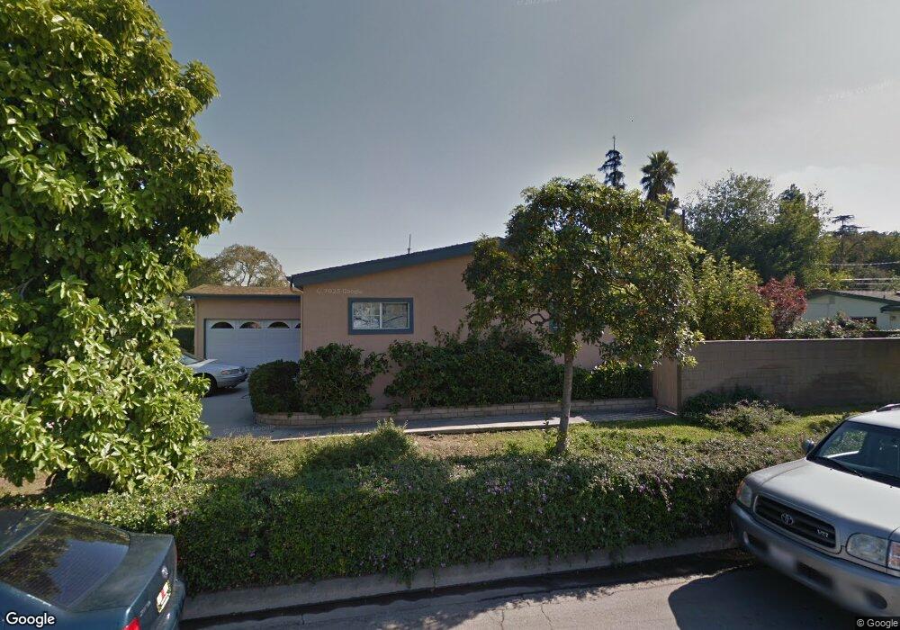
736 W Carter Dr Glendora, CA 91740
South Glendora NeighborhoodEstimated Value: $728,000 - $814,000
4
Beds
2
Baths
1,302
Sq Ft
$593/Sq Ft
Est. Value
About This Home
This home is located at 736 W Carter Dr, Glendora, CA 91740 and is currently estimated at $772,713, approximately $593 per square foot. 736 W Carter Dr is a home located in Los Angeles County with nearby schools including Center Middle School, Gladstone High School, and Gateway Montessori Preschool - Covina Grand Ave.
Ownership History
Date
Name
Owned For
Owner Type
Purchase Details
Closed on
May 15, 1996
Sold by
Kirkpatrick Peggie Anne and Lapointe Peggie Anne
Bought by
Kaliel Catherine Jane
Current Estimated Value
Home Financials for this Owner
Home Financials are based on the most recent Mortgage that was taken out on this home.
Original Mortgage
$156,750
Outstanding Balance
$9,005
Interest Rate
8.09%
Estimated Equity
$763,708
Create a Home Valuation Report for This Property
The Home Valuation Report is an in-depth analysis detailing your home's value as well as a comparison with similar homes in the area
Home Values in the Area
Average Home Value in this Area
Purchase History
| Date | Buyer | Sale Price | Title Company |
|---|---|---|---|
| Kaliel Catherine Jane | $165,000 | North American Title | |
| Kirkpatrick Peggie Anne | -- | North American Title |
Source: Public Records
Mortgage History
| Date | Status | Borrower | Loan Amount |
|---|---|---|---|
| Open | Kaliel Catherine Jane | $156,750 |
Source: Public Records
Tax History
| Year | Tax Paid | Tax Assessment Tax Assessment Total Assessment is a certain percentage of the fair market value that is determined by local assessors to be the total taxable value of land and additions on the property. | Land | Improvement |
|---|---|---|---|---|
| 2025 | $3,586 | $274,080 | $127,407 | $146,673 |
| 2024 | $3,586 | $268,707 | $124,909 | $143,798 |
| 2023 | $3,484 | $263,439 | $122,460 | $140,979 |
| 2022 | $3,439 | $258,274 | $120,059 | $138,215 |
| 2021 | $3,352 | $253,210 | $117,705 | $135,505 |
| 2019 | $3,245 | $245,702 | $114,215 | $131,487 |
| 2018 | $3,058 | $240,885 | $111,976 | $128,909 |
| 2016 | $2,940 | $231,533 | $107,629 | $123,904 |
| 2015 | $2,903 | $228,056 | $106,013 | $122,043 |
| 2014 | $2,725 | $223,590 | $103,937 | $119,653 |
Source: Public Records
Map
Nearby Homes
- 1760 S Vecino Ave
- 925 Bonita Ave Unit 23
- 1630 S Barranca Ave
- 1630 S Barranca Ave Unit 173
- 1630 S Barranca Ave Unit 126
- 5317 N Barranca Ave Unit 5
- 1356 S Prospero Dr
- 5505 N Traymore Ave
- 4900 N Grand Ave Unit 130
- 4900 N Grand Ave Unit 215
- 4900 N Grand Ave Unit 212
- 4900 N Grand Ave Unit 322
- 4900 N Grand Ave Unit 206
- 5227 N Fairvalley Ave
- 18725 E Arrow Hwy Unit 43
- 18725 E Arrow Hwy Unit 40
- 523 E Covina Blvd
- 605 W Gaillard St
- 19850 E Arrow Hwy Unit E2
- 19850 E Arrow Hwy Unit C2
Your Personal Tour Guide
Ask me questions while you tour the home.