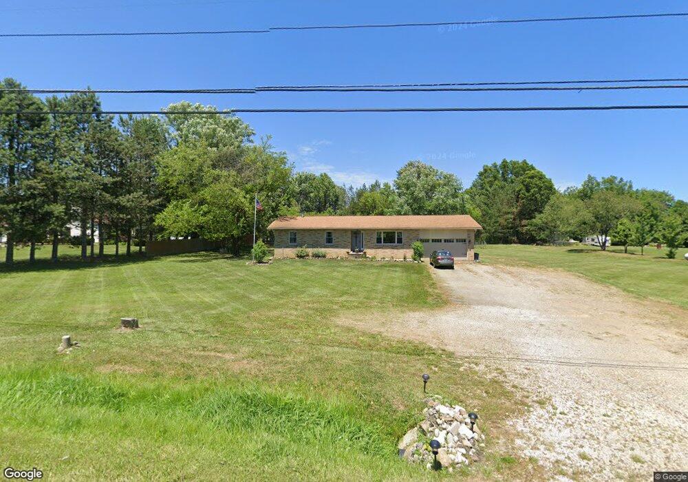
7363 Tallmadge Rd Rootstown, OH 44272
Estimated Value: $214,212 - $256,000
3
Beds
2
Baths
1,120
Sq Ft
$205/Sq Ft
Est. Value
About This Home
This home is located at 7363 Tallmadge Rd, Rootstown, OH 44272 and is currently estimated at $229,053, approximately $204 per square foot. 7363 Tallmadge Rd is a home located in Portage County with nearby schools including Southeast High School.
Ownership History
Date
Name
Owned For
Owner Type
Purchase Details
Closed on
Aug 10, 2020
Sold by
Timms Robert T
Bought by
Timms Shana
Current Estimated Value
Purchase Details
Closed on
Apr 14, 2012
Sold by
Timms Matthew V and Timms Kimberly R
Bought by
Timms Robert T and Timms Shana J
Purchase Details
Closed on
May 20, 2008
Sold by
Timms Susan A
Bought by
Timms Matthew
Purchase Details
Closed on
Dec 3, 2001
Sold by
Estate Of Rachel E Lewis
Bought by
Rowley Susan A and Timms Susan A
Purchase Details
Closed on
Jan 1, 1990
Bought by
Lewis Rachel E
Create a Home Valuation Report for This Property
The Home Valuation Report is an in-depth analysis detailing your home's value as well as a comparison with similar homes in the area
Home Values in the Area
Average Home Value in this Area
Purchase History
| Date | Buyer | Sale Price | Title Company |
|---|---|---|---|
| Timms Shana | -- | None Available | |
| Timms Robert T | -- | Attorney | |
| Timms Matthew | -- | Attorney | |
| Rowley Susan A | -- | -- | |
| Lewis Rachel E | -- | -- |
Source: Public Records
Tax History Compared to Growth
Tax History
| Year | Tax Paid | Tax Assessment Tax Assessment Total Assessment is a certain percentage of the fair market value that is determined by local assessors to be the total taxable value of land and additions on the property. | Land | Improvement |
|---|---|---|---|---|
| 2024 | $2,342 | $64,680 | $8,890 | $55,790 |
| 2023 | $1,839 | $45,430 | $7,700 | $37,730 |
| 2022 | $1,907 | $45,430 | $7,700 | $37,730 |
| 2021 | $1,923 | $45,430 | $7,700 | $37,730 |
| 2020 | $1,729 | $39,240 | $7,000 | $32,240 |
| 2019 | $1,733 | $39,240 | $7,000 | $32,240 |
| 2018 | $1,721 | $33,850 | $6,790 | $27,060 |
| 2017 | $1,587 | $33,850 | $6,790 | $27,060 |
| 2016 | $1,581 | $33,850 | $6,790 | $27,060 |
| 2015 | $1,513 | $33,850 | $6,790 | $27,060 |
| 2014 | $1,479 | $32,310 | $6,790 | $25,520 |
| 2013 | $1,441 | $32,310 | $6,790 | $25,520 |
Source: Public Records
Map
Nearby Homes
- 7392 Tallmadge Rd
- 3798 State Route 183
- 7939 Giddings Rd
- 6747 Giddings Rd
- V/L St Andrews Way
- 0 St Andrews Way Unit 5094250
- 2880 State Route 14
- 0 John Thomas
- 3807 Industry Rd
- 2171 Alliance Rd
- 4133 State Route 225
- 9408 Tallmadge Rd
- 0 Ohio 225 Unit 5174573
- 4094 Ohio 225
- 3609 State Route 225
- 6605 State Route 5
- 3207 Prairie Cir
- 2434 Taft Ave
- V/L State Route 225
- 5560 Wilkes Rd
- 7381 Tallmadge Rd
- 7341 Tallmadge Rd
- 7380 Tallmadge Rd
- 7331 Tallmadge Rd
- 7312 Tallmadge Rd
- 7409 Tallmadge Rd
- 7311 Tallmadge Rd
- 7305 Tallmadge Rd
- 7300 Tallmadge Rd
- 7436 Tallmadge Rd
- 7420 Tallmadge Rd
- 4099 Porter Rd
- 7285 Tallmadge Rd
- 4075 Porter Rd
- 7468 Tallmadge Rd
- 4121 Porter Rd
- 4151 Porter Rd
- 4179 Porter Rd
- 7237 Tallmadge Rd
- 6 Porter Rd