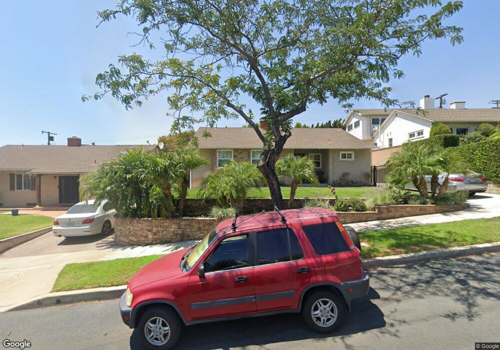
737 Stanford Rd Burbank, CA 91504
Hillside District NeighborhoodEstimated Value: $1,210,000 - $1,498,000
3
Beds
1
Bath
1,349
Sq Ft
$1,001/Sq Ft
Est. Value
About This Home
This home is located at 737 Stanford Rd, Burbank, CA 91504 and is currently estimated at $1,350,967, approximately $1,001 per square foot. 737 Stanford Rd is a home located in Los Angeles County with nearby schools including Thomas Jefferson Elementary School, John Muir Middle School, and Burbank High School.
Ownership History
Date
Name
Owned For
Owner Type
Purchase Details
Closed on
Oct 27, 2011
Sold by
Kouri Nathan A and Kouri Eloisa
Bought by
Kouri Nathan A and Kouri Eloisa
Current Estimated Value
Home Financials for this Owner
Home Financials are based on the most recent Mortgage that was taken out on this home.
Original Mortgage
$442,450
Outstanding Balance
$298,401
Interest Rate
3.87%
Mortgage Type
New Conventional
Estimated Equity
$1,052,566
Purchase Details
Closed on
Mar 30, 2005
Sold by
Kouri Nathan A and Kouri Eloisa
Bought by
Kouri Nathan A and Kouri Eloisa
Home Financials for this Owner
Home Financials are based on the most recent Mortgage that was taken out on this home.
Original Mortgage
$330,000
Interest Rate
5.77%
Mortgage Type
New Conventional
Purchase Details
Closed on
Mar 2, 2004
Sold by
Kouri Nathan A and Kouri Eloisa
Bought by
Kouri Nathan A and Kouri Eloisa
Home Financials for this Owner
Home Financials are based on the most recent Mortgage that was taken out on this home.
Original Mortgage
$251,000
Interest Rate
5.62%
Mortgage Type
Purchase Money Mortgage
Purchase Details
Closed on
Jan 27, 2004
Sold by
Ceerla Raju
Bought by
Kouri Nathan A and Kouri Eloisa
Home Financials for this Owner
Home Financials are based on the most recent Mortgage that was taken out on this home.
Original Mortgage
$251,000
Interest Rate
5.62%
Mortgage Type
Purchase Money Mortgage
Purchase Details
Closed on
Jul 19, 2001
Sold by
Johnston Rochelle
Bought by
Ceerla Raju
Home Financials for this Owner
Home Financials are based on the most recent Mortgage that was taken out on this home.
Original Mortgage
$271,200
Interest Rate
7.15%
Purchase Details
Closed on
May 15, 1995
Sold by
Ludwig Melva M and Terr Melva M
Bought by
Winters Dane and Winters Marianne Simpson
Home Financials for this Owner
Home Financials are based on the most recent Mortgage that was taken out on this home.
Original Mortgage
$193,500
Interest Rate
8.32%
Mortgage Type
Seller Take Back
Create a Home Valuation Report for This Property
The Home Valuation Report is an in-depth analysis detailing your home's value as well as a comparison with similar homes in the area
Home Values in the Area
Average Home Value in this Area
Purchase History
| Date | Buyer | Sale Price | Title Company |
|---|---|---|---|
| Kouri Nathan A | -- | Ticor Title Company Of Ca | |
| Kouri Nathan A | -- | First American Title Ins Co | |
| Kouri Nathan A | -- | First American Title Ins Co | |
| Kouri Nathan A | -- | California Title Company | |
| Kouri Nathan A | $540,000 | California Title Company | |
| Ceerla Raju | -- | Southland Title | |
| Ceerla Raju | $339,000 | Southland Title | |
| Winters Dane | $215,000 | Investors Title Company |
Source: Public Records
Mortgage History
| Date | Status | Borrower | Loan Amount |
|---|---|---|---|
| Open | Kouri Nathan A | $442,450 | |
| Closed | Kouri Nathan A | $330,000 | |
| Closed | Kouri Nathan A | $251,000 | |
| Previous Owner | Ceerla Raju | $271,200 | |
| Previous Owner | Winters Dane | $193,500 | |
| Closed | Ceerla Raju | $33,900 |
Source: Public Records
Tax History
| Year | Tax Paid | Tax Assessment Tax Assessment Total Assessment is a certain percentage of the fair market value that is determined by local assessors to be the total taxable value of land and additions on the property. | Land | Improvement |
|---|---|---|---|---|
| 2025 | $8,425 | $762,981 | $534,470 | $228,511 |
| 2024 | $8,425 | $748,022 | $523,991 | $224,031 |
| 2023 | $8,335 | $733,356 | $513,717 | $219,639 |
| 2022 | $7,958 | $718,978 | $503,645 | $215,333 |
| 2021 | $7,922 | $704,881 | $493,770 | $211,111 |
| 2019 | $7,602 | $683,975 | $479,125 | $204,850 |
| 2018 | $7,475 | $670,565 | $469,731 | $200,834 |
| 2016 | $7,857 | $714,857 | $511,280 | $203,577 |
| 2015 | $7,697 | $704,121 | $503,601 | $200,520 |
| 2014 | $7,675 | $690,330 | $493,737 | $196,593 |
Source: Public Records
Map
Nearby Homes
- 2615 Woodstock Ln
- 441 Dartmouth Rd
- 505 Cambridge Dr
- 501 Birmingham Rd
- 2316 N Parish Place
- 1814 Grismer Ave
- 1901 Peyton Ave Unit N
- 1711 Grismer Ave Unit 52
- 1711 Grismer Ave Unit 72
- 2014 Peyton Ave
- 1719 Landis St
- 1719 Rogers Place Unit 33H
- 1924 N Parish Place
- 1515 Grismer Ave Unit 302
- 3240 Brace Canyon Rd
- 2625 N Lincoln St
- 2905 N Myers St
- 2844 N Brighton St
- 1113 N Glenoaks Blvd
- 831 E Walnut Ave
- 731 Stanford Rd
- 743 Stanford Rd
- 736 Groton Dr
- 725 Stanford Rd
- 730 Groton Dr
- 749 Stanford Rd
- 724 Groton Dr
- 2036 Richard St
- 719 Stanford Rd
- 2037 N Kenneth Rd
- 748 Groton Dr
- 718 Groton Dr
- 2030 Richard St
- 2031 N Kenneth Rd
- 713 Stanford Rd
- 712 Groton Dr
- 801 Stanford Rd
- 2024 Richard St
- 2025 N Kenneth Rd
- 706 Groton Dr
Your Personal Tour Guide
Ask me questions while you tour the home.